Rockhole Bridge Rd
- 1.2 mi
- round trip
- 97 ft
- climb
- 316 ft
- high point
- Out and back
- route
- Oct–May
- best months
Rockhole Bridge Rd is an easy, out-and-back hike of about 2.5 miles in southwest Alabama, roughly 2.8 miles from the town of Carolina. The trail is flat for most of the way, with a gentle rise to a high point of 316 feet and a matching drop back down. The steepest part comes at about 0.97 miles in, where the grade reaches about 6 percent. Spring and fall are the most comfortable times to go. Typical averages from a nearby weather station in Andalusia show October highs around 79°F with lows near 53°F and only about five wet days. April is similar, with highs near 78°F. The hike takes about an hour to complete. Hog Foot Road lies about 2.5 miles away. Five Runs Creek offers canoeing about 4.8 miles off, and the Eastern Continental Trail (Alabama Roadwalk) is about 5.5 miles away. Blue Lake Recreation Area, about 6.6 miles out, has lake fishing.
Best time to go · Oct–May
Best time to visit Rockhole Bridge Rd
Best months: October–May. Best months have typical highs of 55–85 °F, lows of 30 °F or warmer (32 °F where the station doesn't record snow), at most one snowy day and no more than 12 wet days.
Jan
60° / 35°
8 wet
Feb
65° / 38°
7 wet
Mar
72° / 44°
7 wet
Apr
78° / 50°
6 wet
May
84° / 59°
7 wet
Jun
89° / 68°
9 wet
Jul
91° / 70°
11 wet
Aug
90° / 70°
10 wet
Sep
87° / 65°
6 wet
Oct
79° / 53°
5 wet
Nov
70° / 42°
5 wet
Dec
63° / 37°
7 wet
Typical high / low (°F) and days with rain or snow, 1991–2020. Measured at Andalusia 3 W, AL, 7.2 mi away at 250 ft. Source: NOAA NCEI U.S. Climate Normals 1991–2020.
Keep exploring — more trails worth the drive
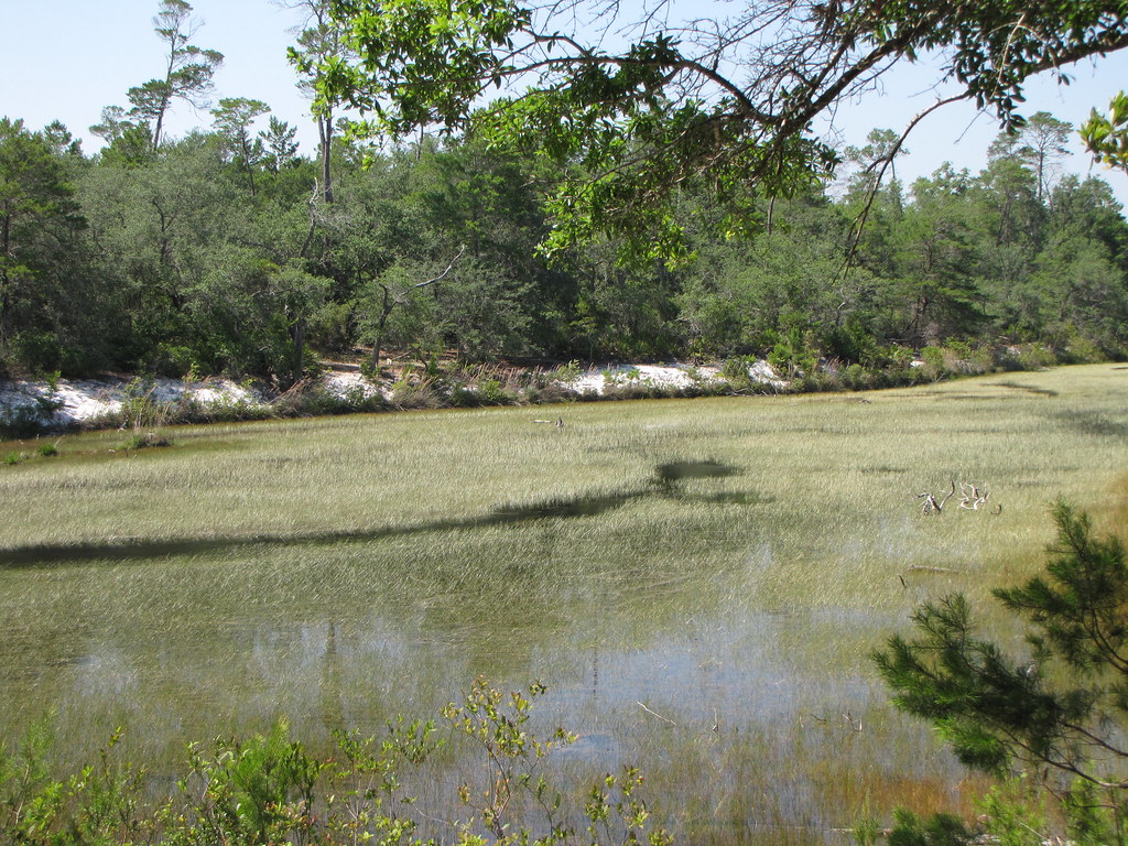 Photo: nfspw, CC BY-SA 2.0 (via Flickr)
Fred Gannon Rocky Bayou State Park
~1h 23m drive
0.37-mile out-and-back trail at Fred Gannon Rocky Bayou State Park in Florida.
HIKE
Conecuh North Shore Loop Trail
~9 min drive
26.65-mile out-and-back trail along the Conecuh River in Alabama.
HIKE
Eastern Continental Trail (Alabama Roadwalk)
~9 min drive
189-mile Alabama roadwalk following the eastern continental divide.
HIKE
Grab Mill Road
~23 min drive
3.30-mile out-and-back trail in Alabama with 209 ft elevation gain
Photo: nfspw, CC BY-SA 2.0 (via Flickr)Fred Gannon Rocky Bayou State Park Trail
~1h 24m drive
0.54-mile out-and-back trail in Florida with 26 ft elevation gain.
HIKE
Moore Road
~11 min drive
5.18-mile out-and-back trail in Alabama with 311 ft gain.
HIKE
Unnamed Trail
~26 min drive
0.77-mile out-and-back trail in Alabama with 266 ft gain.
HIKE
Andy Road
~2 min drive
0.60-mile out-and-back trail in Alabama with 24 ft gain.
HIKE
Cross Country Road
~13 min drive
7.55-mile out-and-back trail in Alabama with 508 ft gain.
HIKE
Rose Hill Road
~34 min drive
3.25-mile out-and-back trail in Alabama with 172 ft gain.

Map and trail data © OpenStreetMap contributors
