Harris Trail
- 1.0 mi
- round trip
- 604 ft
- climb
- 1,147 ft
- high point
- Out and back
- route
- Feb–May, Oct–Dec
- best months
Harris Trail is an easy out-and-back hike in Alabama's Wade Mountain Preserve, a non-governmental organization-managed preserve about 1.03 miles long. The trail climbs about 196 feet one way, with the high point at 1,147 feet, and the route totals about 2.1 miles round trip. Spring and fall are the most comfortable times to go. Typical averages from a nearby weather station in Huntsville show October highs around 76°F with lows near 52°F, while July averages reach about 92°F. That station sits roughly 500 feet below the trail, so temperatures on the preserve run a little cooler. The hike is short, with about an hour estimated for the round trip. Shovelton Trail and Devil's Racetrack Trail both start about 0.1 mile away, and Rockwall Trail is about 0.4 mile off. For time on the water, the Brier Fork Flint River offers canoeing about 6.3 miles away.
Best time to go · Feb–May, Oct–Dec
Best time to visit Harris Trail
Best months: February–May and October–December. Best months have typical highs of 55–85 °F, lows of 30 °F or warmer (32 °F where the station doesn't record snow), at most one snowy day and no more than 12 wet days.
Jan
52° / 33°
11 wet
Feb
57° / 36°
11 wet
Mar
65° / 43°
11 wet
Apr
75° / 51°
10 wet
May
83° / 60°
10 wet
Jun
89° / 68°
10 wet
Jul
92° / 71°
10 wet
Aug
91° / 70°
9 wet
Sep
86° / 63°
7 wet
Oct
76° / 52°
8 wet
Nov
64° / 41°
9 wet
Dec
55° / 36°
11 wet
Typical high / low (°F) and days with rain or snow, 1991–2020. Measured at Huntsville Intl Ap, AL, 16.1 mi away at 624 ft. The station sits about 500 ft lower than this place, so expect it a little cooler here. This station doesn't record snowfall. Source: NOAA NCEI U.S. Climate Normals 1991–2020.
Keep exploring — more trails worth the drive
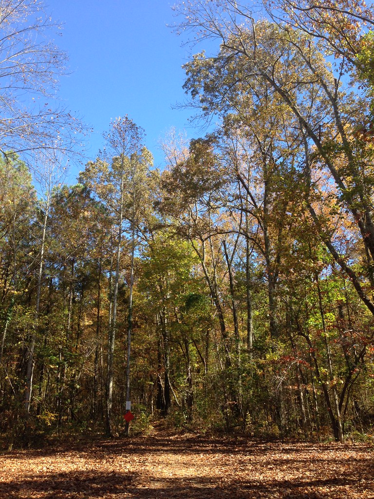 Photo: ShanMcG213, CC BY-SA 2.0 (via Flickr)
Bostick Trail
~2 min drive
1.37-mile out-and-back trail in Alabama with 506 ft gain
 Photo: dmtilley, CC BY 3.0 (via Wikimedia Commons)
Tollgate Trail
~10 min drive
0.64-mile out-and-back trail in Alabama with 108 ft gain.
 Photo: dmtilley, CC BY 3.0 (via Wikimedia Commons)
Dummy Line Trail
~11 min drive
1.34-mile out-and-back trail in Alabama with 573 ft gain.
HIKE
Wade Mountain Nature Reserve National Recreation Trails
~2 min drive
9.76-mile moderate trail through Wade Mountain Nature Reserve in Alabama.
Photo: dmtilley, CC BY 3.0 (via Wikimedia Commons)The Portal
~11 min drive
0.33-mile lollipop trail in Alabama with 9 ft gain and 89 ft loss.
 Photo: bionicteaching, CC BY-SA 2.0 (via Flickr)
Stone Cuts Trail
~12 min drive
Short Alabama trail featuring scenic cuts and geological interest.
HIKE
Panther Knob Trail
~12 min drive
0.40-mile out-and-back trail in Alabama's state park system with 191 ft of elevation gain.
 Photo: dmtilley, CC BY 3.0 (via Wikimedia Commons)
Logan Point Trail
~12 min drive
1.36-mile out-and-back trail to Logan Point in Alabama with 572 ft gain.
Photo: dmtilley, CC BY 3.0 (via Wikimedia Commons)Bankhead Trail
~11 min drive
1.89-mile out-and-back trail in Alabama with 707 ft gain.
Photo: dmtilley, CC BY 3.0 (via Wikimedia Commons)High Trail
~12 min drive
3.35-mile lollipop trail in Alabama with 1,154 ft gain

Map and trail data © OpenStreetMap contributors
