Grove Loop
- 0.3 mi
- round trip
- 63 ft
- climb
- 366 ft
- high point
- Out and back
- route
- Oct–May
- best months
Grove Loop is a short out-and-back trail in Alabama managed by the State Department of Natural Resources. The trail is 0.34 miles long with 21 feet of elevation gain and 51 feet of elevation loss.
 CanyonsHiking · ~57 min drivePhoto: StephenGA, Public Domain Dedication (CC0) (via Flickr)
- Backcountry TrailHiking · ~57 min drivePhoto: StephenGA, Public Domain Dedication (CC0) (via Flickr)
- Bartram National Recreational TrailHiking · ~51 min drive
- BartramHiking · ~53 min drive
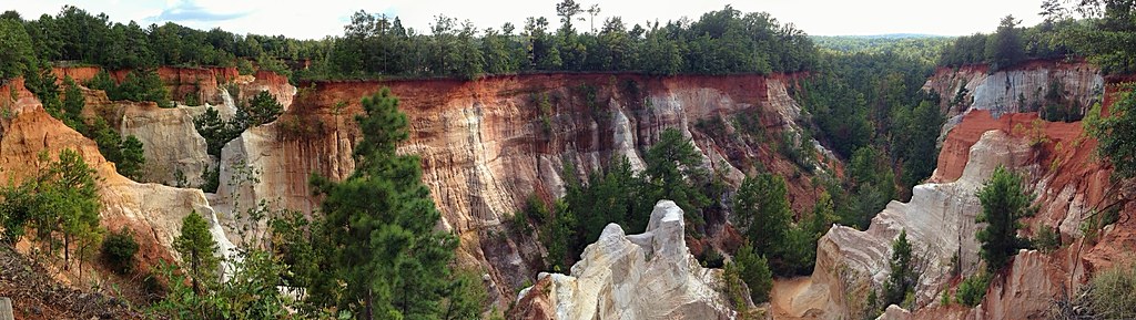 Canyon Loop TrailHiking · ~57 min drivePhoto: StephenGA, Public Domain Dedication (CC0) (via Flickr)
- Mountain Laurel TrailHiking · ~60 min drive
- BOLD DESTINY HORSE TRAILHiking · ~53 min drive
- Quail Ridge LoopHiking · Next door
- Lumpkin TrailHiking · ~1h 4m drive
- Pleasant Hill Mtn Bike TrailHiking · ~53 min drive
Also worth it near here
Best time to visit Grove Loop
Best months: October–May. Best months have typical highs of 55–85 °F, lows of 30 °F or warmer (32 °F where the station doesn't record snow), at most one snowy day and no more than 12 wet days.
Jan
58° / 37°
8 wet
Feb
63° / 40°
8 wet
Mar
70° / 46°
7 wet
Apr
76° / 52°
6 wet
May
84° / 61°
7 wet
Jun
89° / 69°
9 wet
Jul
91° / 71°
10 wet
Aug
90° / 71°
9 wet
Sep
86° / 66°
6 wet
Oct
78° / 55°
5 wet
Nov
68° / 45°
5 wet
Dec
60° / 40°
8 wet
Typical high / low (°F) and days with rain or snow, 1991–2020. Measured at Clayton, AL, 12.2 mi away at 569 ft. Source: NOAA NCEI U.S. Climate Normals 1991–2020.

