Benbow
Town · California
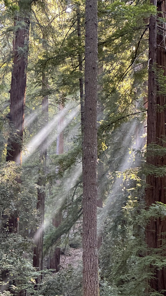 Photo near Benbow: lamblukas, CC BY 2.0 (via Flickr)
At a glance
Here's what it's like on your dates.
- elevation
- 1,553 ft
- outdoor spots within 30 mi
- 160
- places to stay
- 9
- places to eat and drink
- 19
No dates picked? We show the next weekend.
Checking the weather, roads and odds for these dates…
Ask about this place
Questions about Benbow: conditions, access, timing. Answers say when something isn't known.
Areas around Benbow
- Six Rivers National ForestNational forest · 19 places
- Richardson Grove State ParkState park · 14 places
- Sinkyone Wilderness State ParkState park · 13 places
- South Fork Eel River Wilderness AreaWilderness · 5 places
- King Range Wilderness AreaWilderness · 3 places
- Yolla Bolly-Middle Eel Wilderness AreaWilderness · 3 places
- Benbow State Recreation AreaState park · 2 places
- North Fork WildernessWilderness · 2 places
Places near Benbow
- Chinquapin ButteSummit · 1 route
- Bear HarborCampground
- Red MountainSummit · 1 route
- Benbow State Recreation Area CampgroundCampground
- Dawn Redwood Group CampgroundCampground
- Hike and Bike CampsiteCampground
- Huckleberry CampgroundCampground
- Jones Beach CampCampground
- KOA BenbowCampground
- Lost Coast CampgroundCampground
- Low Gap CampCampground
- Madrone CampgroundCampground


