Altemaver
 Photo: JakobZ, CC BY-SA 3.0 (via Wikimedia Commons)
- 5,509 ft
- summit
Altemaver is a mountain in Upper Carniola, Slovenia, with its summit at about 5,510 ft (1,679 m) above sea level. No mapped trail reaches the top in OpenStreetMap, so plan the approach with local maps or a guide. It is on the edge of Torka. Peaks within about 3 miles include Gladki vrh, Kremant and Boserplote. Zahodni Plenšak and Vzhodni Plenšak are within about 3 miles. For camping, Soriška planina is within about 6 miles. The location and elevation come from OpenStreetMap and the Copernicus 90 m elevation model. Check local access rules and conditions before you go.
Conditions and forecast
Daily highs and lows, wind and the chance of precipitation at the summit for the next 7 days, from the Open-Meteo model.
- Summit elevation
- 5,509 ft
We don't know of a mapped trail or route to the summit of Altemaver. Plan the approach with local maps, a guidebook or a local guide, and check conditions before you go.
Questions about Altemaver
How tall is Altemaver?
5,509 ft (1,679 m).
Is there a trail to the top of Altemaver?
We don't know of a mapped trail or route to the summit. Plan the approach with local maps, a guidebook or a local guide.
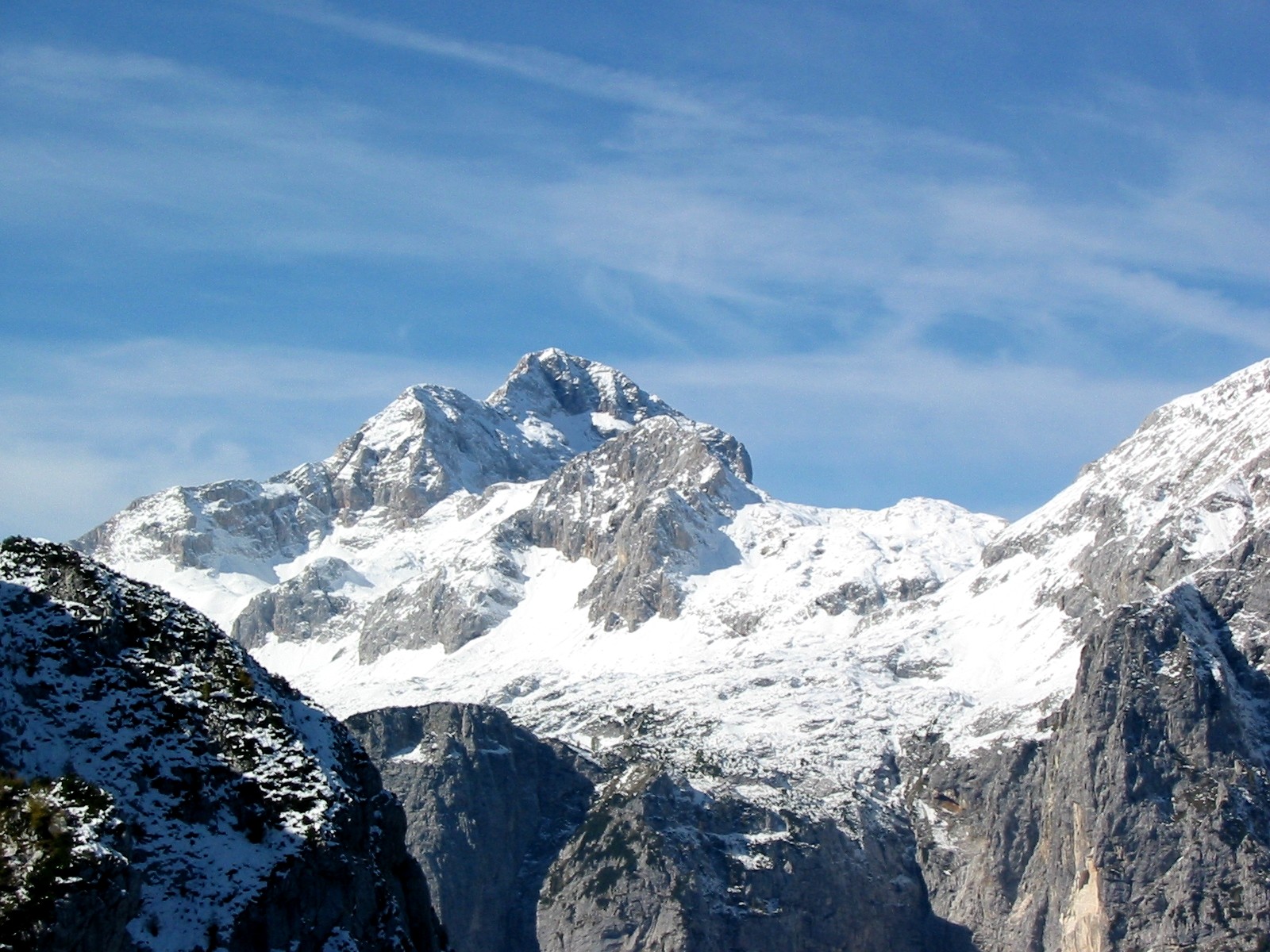 Triglav9,396 ft · Bohinj, Slovenia1 route15 mi awayPhoto: Andrej Jakobčič, CC BY-SA 3.0 (via Wikimedia Commons)
 Grintovec8,392 ft · Kamnik, Slovenia1 route23 mi awayPhoto: sl:Uporabnik:JakobZ, CC BY-SA 3.0 (via Wikimedia Commons)
 Mangart8,786 ft · Bovec, Slovenia1 route25 mi awayPhoto: kallerna, CC BY-SA 4.0 (via Wikimedia Commons)
 Jôf di Montasio9,035 ft · Friuli Venezia Giulia, Italy1 route34 mi awayPhoto: kallerna, CC BY-SA 4.0 (via Wikimedia Commons)
 Grossglockner12,461 ft · Carinthia, Austria1 route88 mi awayPhoto: DennisPeeters, Public domain (via Wikimedia Commons)
 Hoher Dachstein9,826 ft · Upper Austria, Austria1 route88 mi awayPhoto: C.Stadler/Bwag, CC BY-SA 4.0 (via Wikimedia Commons)
Map and trail data © OpenStreetMap contributors
