
Mountain · 1 route
Hoher Dachstein
9,826 ft · Upper Austria, Austria
Photo: C.Stadler/Bwag, CC BY-SA 4.0 (via Wikimedia Commons)
- Summit
- 9,826 ft
- Routes
- 1 way up
Route up Hoher Dachstein
About Hoher Dachstein
Hoher Dachstein is a mountain in Upper Austria, Austria, with its summit at 9,826 ft (2,995 m). Roamze has one mapped route to the top. The Dachstein Randkluft-Klettersteig route starts from Dachstein Südwandbahn cable car station, at about 8,400 ft, and climbs about 1,700 ft to the summit. It is a high-altitude mountaineering route, and OpenStreetMap grades the path as a difficult alpine route. The route page shows the mapped line, the round-trip distance and the climb. This page has a 7-day mountain forecast; check current conditions before you go.
Forecast on Hoher Dachstein
Daily highs and lows, wind and the chance of precipitation at the summit and dachstein südwandbahn cable car station for the next 7 days, from the Open-Meteo model.
Questions about Hoher Dachstein
How tall is Hoher Dachstein?
9,826 ft (2,995 m).
How many routes go to the summit of Hoher Dachstein?
One: Dachstein Randkluft-Klettersteig (from Dachstein Südwandbahn cable car station).
Where do the routes up Hoher Dachstein start?
Dachstein Randkluft-Klettersteig (from Dachstein Südwandbahn cable car station) starts at Dachstein Südwandbahn cable car station.
Mountains nearby
 Hochkönig9,649 ft · Salzburg, Austria1 route26 mi awayPhoto: StVeit Maps, CC BY-SA 4.0 (via Wikimedia Commons)
 Grossglockner12,461 ft · Carinthia, Austria1 route51 mi awayPhoto: DennisPeeters, Public domain (via Wikimedia Commons)
 Großvenediger11,998 ft · Salzburg, Austria1 route64 mi awayPhoto: Jörg Braukmann, CC BY-SA 4.0 (via Wikimedia Commons)
 Mangart8,786 ft · Bovec, Slovenia1 route72 mi awayPhoto: kallerna, CC BY-SA 4.0 (via Wikimedia Commons)
 Jôf di Montasio9,035 ft · Friuli Venezia Giulia, Italy1 route72 mi awayPhoto: kallerna, CC BY-SA 4.0 (via Wikimedia Commons)
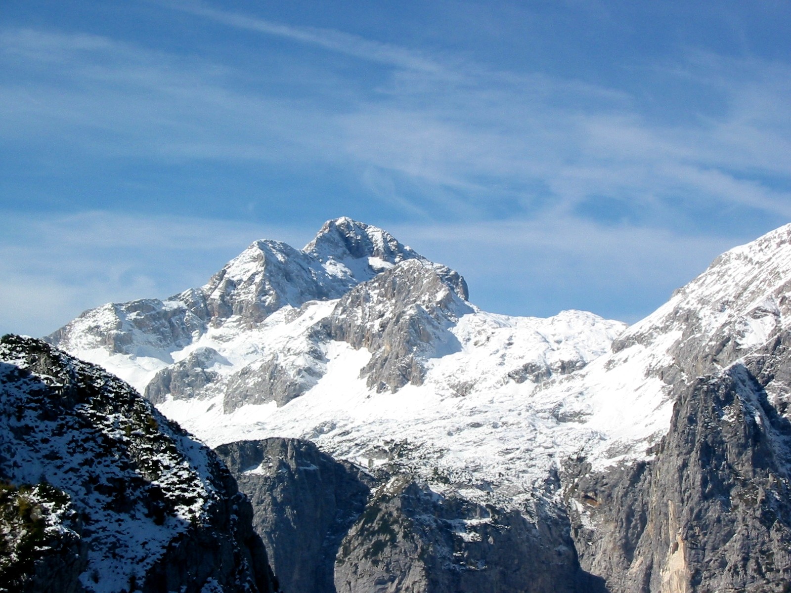 Triglav9,396 ft · Bohinj, Slovenia1 route77 mi awayPhoto: Andrej Jakobčič, CC BY-SA 3.0 (via Wikimedia Commons)
Map and trail data © OpenStreetMap contributors
