Tin Range Surveyors Track
- 2.3 mi
- round trip
- 1,204 ft
- climb
- 880 ft
- high point
- Out and back
- route
Tin Range Surveyors Track is an out-and-back trail, 2.3 miles each way (4.7 miles round trip) in Southland, New Zealand, inside Rakiura National Park. It runs between about 0 ft and 880 ft above sea level, with roughly 1,040 ft of climbing one way. Belltopper Falls is within about 3 miles. Distances, elevations and the route shape here come from OpenStreetMap and the Copernicus 90 m elevation model. Trails, access rules and conditions change, so check locally before you go.
Keep exploring — more trails worth the drive
HIKE
Tin Range Tramway
~4 min drive
An out-and-back trail, 1.5 miles each way (3.0 miles round trip) in Southland, New Zealand.
HIKE
Horseshoe Point Track
~48 min drive
An out-and-back trail, 2.3 miles each way (4.6 miles round trip) in Southland, New Zealand.
HIKE
Garden Mound Track
~48 min drive
An out-and-back trail, 1.2 miles each way (2.5 miles round trip) in Southland, New Zealand.
HIKE
Mason Bay to Freshwater Landing
~23 min drive
A 46-mile point-to-point route in Southland, New Zealand.
HIKE
Ackers Point Track
~48 min drive
An out-and-back trail, 0.8 miles each way (1.5 miles round trip) in Southland, New Zealand.
HIKE
Pryse Peak Route
~34 min drive
An out-and-back trail, 2.2 miles each way (4.3 miles round trip) in Southland, New Zealand.
HIKE
Nature Walk
~44 min drive
An out-and-back trail, 0.3 miles each way (0.7 miles round trip) in Southland, New Zealand.
HIKE
West End Beach - Post Office Bay
~44 min drive
An out-and-back trail, 0.3 miles each way (0.7 miles round trip) in Southland, New Zealand.
HIKE
Conservation Walk
~44 min drive
An out-and-back trail, 0.5 miles each way (1.0 miles round trip) in Southland, New Zealand.
HIKE
Fern Gully Track
~45 min drive
An out-and-back trail, 0.7 miles each way (1.5 miles round trip) in Southland, New Zealand.
Also worth it near here
SEE
Belltopper Falls
Next door
 Photo: AlasdairW, CC BY-SA 3.0 (via Wikimedia Commons)
North Arm Campsite
~41 min drive
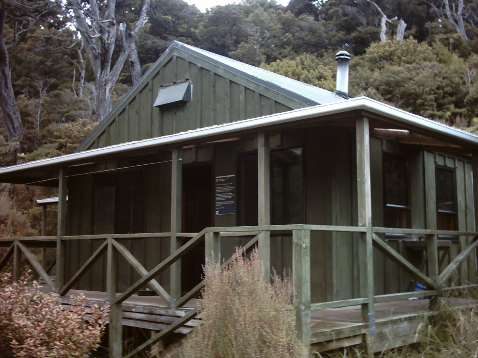 Photo: Ingolfson, Public domain (via Wikimedia Commons)
North Arm Hut
~41 min drive
 Photo: Pseudopanax at English Wikipedia, Public domain (via Wikimedia Commons)
Ocean Beach
~44 min drive
 Photo: Pseudopanax at English Wikipedia, Public domain (via Wikimedia Commons)
Observation Rock
~45 min drive
Conditions and forecast
Daily highs and lows, wind and the chance of precipitation at Tin Range Surveyors Track for the next 7 days, from the Open-Meteo model.
Map and trail data © OpenStreetMap contributors
