Mason Bay to Freshwater Landing
- 46.2 mi
- one way
- 5,974 ft
- climb
- 2,147 ft
- high point
- Point to point
- route
Mason Bay to Freshwater Landing is a 46-mile point-to-point route in Southland, New Zealand, inside Rakiura National Park. It runs between about 0 ft and 2,150 ft above sea level, with roughly 5,970 ft of climbing one way. Most of the way is dirt. It is mapped as a named hiking route, with the sections joined into one trail here. The nearest town is Oban, about 20 miles west of the trailhead. In a typical February, the warmest month, highs reach about 59°F (15°C) and lows about 53°F (12°C); in July, the coldest, highs are about 49°F (9°C) and lows about 44°F (7°C). Precipitation falls on about 27 days in June, the wettest month, and about 20 days in February, the driest. These typical figures for 1981–2010 come from the CHELSA 1 km climate model and CRU TS 4.09. Distances, elevations and the route shape here come from OpenStreetMap and the Copernicus 90 m elevation model. Trails, access rules and conditions change, so check locally before you go.
Conditions and forecast
Daily highs and lows, wind and the chance of precipitation at Mason Bay to Freshwater Landing for the next 7 days, from the Open-Meteo model.
- Tin Range TramwayHiking · ~21 min drive
- Garden Mound TrackHiking · ~35 min drive
- Horseshoe Point TrackHiking · ~35 min drive
- Pryse Peak RouteHiking · ~21 min drive
- Ackers Point TrackHiking · ~37 min drive
- Tin Range Surveyors TrackHiking · ~23 min drive
- Fern Gully TrackHiking · ~32 min drive
- Raora WalkHiking · ~33 min drive
- West End Beach - Post Office BayHiking · ~33 min drive
- Nature WalkHiking · ~33 min drive
Also worth it near here
- Belltopper FallsWaterfall · ~22 min drive
 North Arm CampsiteCamping · ~26 min drivePhoto: AlasdairW, CC BY-SA 3.0 (via Wikimedia Commons)
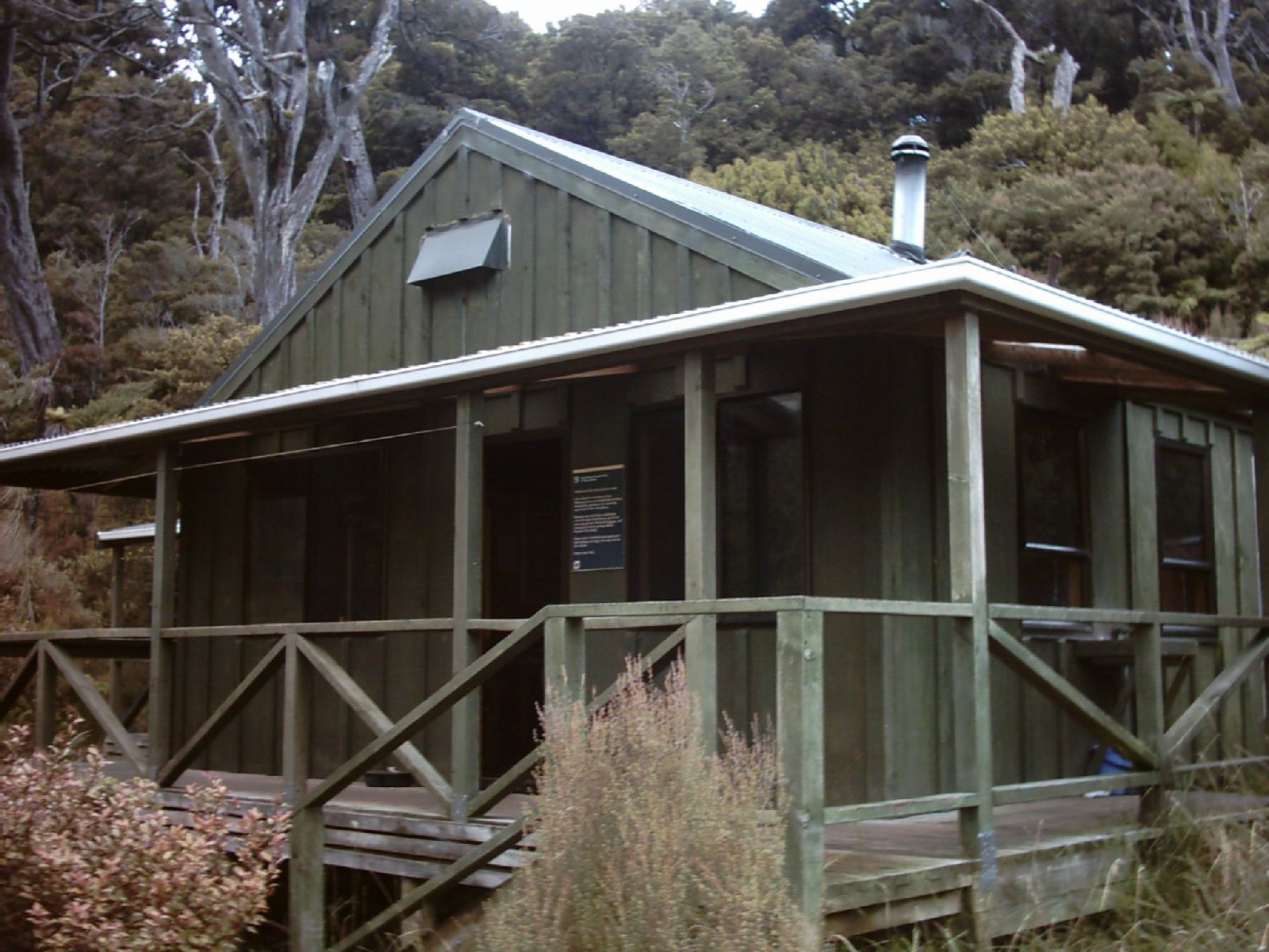 North Arm HutHut camping · ~26 min drivePhoto: Ingolfson, Public domain (via Wikimedia Commons)
 Mount Anglem / HananuiSummit · ~31 min drivePhoto: Pseudopanax at English Wikipedia, Public domain (via Wikimedia Commons)
 Māori BeachBeach · ~32 min drivePhoto: AlasdairW, CC BY-SA 3.0 (via Wikimedia Commons)
Map and trail data © OpenStreetMap contributors
