Mahia Peninsula Track
- 2.0 mi
- loop
- 849 ft
- climb
- 739 ft
- high point
- Loop
- route
Mahia Peninsula Track is a 2.0-mile loop in Hawke's Bay, New Zealand. It runs between about 160 ft and 740 ft above sea level, with roughly 850 ft of climbing over the route. The nearest town is Māhia Beach, about 2.9 miles south of the trailhead. Peaks within about 3 miles include Mouta Hill, Te Kapu and Taupiri. For camping, Mahia Beach Motel and Holiday Park and Oraka Reserve - Freedom Camping Area are within about 6 miles. Distances, elevations and the route shape here come from OpenStreetMap and the Copernicus 90 m elevation model. Trails, access rules and conditions change, so check locally before you go.
Keep exploring — more trails worth the drive
 Photo: Krzysztof Golik, CC BY-SA 4.0 (via Wikimedia Commons)
Wairoa Riverside Walkway
~43 min drive
An out-and-back trail, 2.9 miles each way (5.7 miles round trip) in Hawke's Bay, New Zealand.
 Photo: Krzysztof Golik, CC BY-SA 4.0 (via Wikimedia Commons)
Lake Waikaremoana Great Walk
~1h 19m drive
A 29-mile point-to-point route in Hawke's Bay, New Zealand.
HIKE
Hawke's Bay Coastal Walkway
~1h 19m drive
An out-and-back trail, 0.8 miles each way (1.6 miles round trip) in Hawke's Bay, New Zealand.
HIKE
Aniwaniwa Valley Track
~1h 19m drive
An out-and-back trail, 8.5 miles each way (17 miles round trip) in Hawke's Bay, New Zealand.
HIKE
Black Beech Track
~1h 19m drive
An out-and-back trail, 1.1 miles each way (2.2 miles round trip) in Hawke's Bay, New Zealand.
HIKE
Ngamoko Track
~1h 19m drive
An out-and-back trail, 4.2 miles each way (8.4 miles round trip) in Hawke's Bay, New Zealand.
HIKE
Waipai - Ruapani Track
~1h 20m drive
An out-and-back trail, 6.7 miles each way (13 miles round trip) in Hawke's Bay, New Zealand.
HIKE
Manuoha Track
~1h 21m drive
An out-and-back trail, 15 miles each way (29 miles round trip) in Hawke's Bay, New Zealand.
HIKE
Lake Waikareiti Sandy Bay Track
~1h 23m drive
An out-and-back trail, 3.3 miles each way (6.7 miles round trip) in Hawke's Bay, New Zealand.
HIKE
Mokau Stream Track
~1h 25m drive
An out-and-back trail, 2.4 miles each way (4.7 miles round trip) in Hawke's Bay, New Zealand.
Also worth it near here
 Photo: Pseudopanax at en.wikipedia, Public domain (via Wikimedia Commons)
Māhia Beach
~5 min drive
 Photo: Ulrich Lange, Dunedin, New Zealand, CC BY-SA 3.0 (via Wikimedia Commons)
Rāhuimōkairoa
~7 min drive
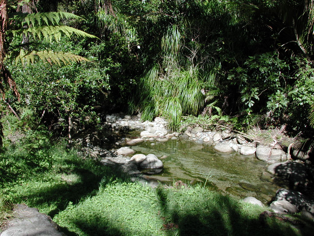 Photo: Pseudopanax at en.wikipedia, Public domain (via Wikimedia Commons)
Nikau Pools
~18 min drive
 Photo: Krzysztof Golik, CC BY-SA 4.0 (via Wikimedia Commons)
Te Rēinga Falls
~48 min drive
 Photo: itravelNZ® - the best smartphone travel app for New Zealand :-), CC BY 2.0 (via Wikimedia Commons)
Waikanae Beach Top 10 Holiday Park
~55 min drive
Conditions and forecast
Daily highs and lows, wind and the chance of precipitation at Mahia Peninsula Track for the next 7 days, from the Open-Meteo model.
Map and trail data © OpenStreetMap contributors
