Waikanae Beach Top 10 Holiday Park
 Photo: itravelNZ® - the best smartphone travel app for New Zealand :-), CC BY 2.0 (via Wikimedia Commons)
- At 10 ft
Waikanae Beach Top 10 Holiday Park is a campground in Gisborne, New Zealand, at about 10 ft above sea level. Camping here is paid. Trails within about a mile include The Banks Garden. The nearest town is Gisborne, about 0.7 miles south of the campground. Peaks within about 3 miles include Titirangi, Pā Hill and Waikirikiri. For camping, Te Papa Puninga and Makorori Carpark are within about 6 miles. The location and elevation come from OpenStreetMap and the Copernicus 90 m elevation model. Check local access rules and conditions before you go.
Keep exploring — more campsites worth the drive
BED
Te Papa Puninga
~2 min drive
A campground in Gisborne, New Zealand.
SEE
Mangaotane Hut (McMillans)
~1h 11m drive
An unstaffed wilderness hut in Gisborne, New Zealand.
BED
Makorori Carpark
~9 min drive
A campground in Gisborne, New Zealand.
SEE
Pakihi Heads Hut
~1h 12m drive
An unstaffed wilderness hut in Bay of Plenty, New Zealand.
BED
The Pirate Ship
~9 min drive
A campground in Gisborne, New Zealand.
SEE
Manganuku Hut
~1h 12m drive
An unstaffed wilderness hut in Bay of Plenty, New Zealand.
BED
Tatapouri Holiday Park
~12 min drive
A campground in Gisborne, New Zealand.
SEE
Kahunui Hut
~1h 13m drive
An unstaffed wilderness hut in Gisborne, New Zealand.
BED
Morere Holiday Park
~43 min drive
A campground in Hawke's Bay, New Zealand.
SEE
Makakoere Hut
~1h 15m drive
An unstaffed wilderness hut in Bay of Plenty, New Zealand.
Also worth it near here
 Photo: Archives New Zealand, CC BY 2.0 (via Wikimedia Commons)
Waikanae Beach
Next door
 Photo: David Blaikie, CC BY 2.0 (via Wikimedia Commons)
Titirangi
~1 min drive
 Photo: Pseudopanax at en.wikipedia, Public domain (via Wikimedia Commons)
Rere Falls
~41 min drive
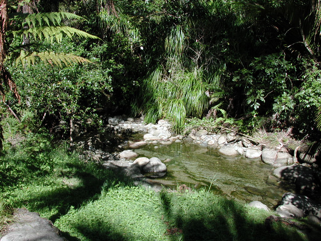 Photo: Pseudopanax at en.wikipedia, Public domain (via Wikimedia Commons)
Nikau Pools
~43 min drive
Conditions and forecast
Daily highs and lows, wind and the chance of precipitation at Waikanae Beach Top 10 Holiday Park for the next 7 days, from the Open-Meteo model.
Map and trail data © OpenStreetMap contributors
