Opuke Track
An out-and-back trail, 0.4 miles each way (0.8 miles round trip) in Canterbury, New Zealand.
- 0.4 mi
- round trip
- 737 ft
- climb
- 2,317 ft
- high point
- Out and back
- route
Opuke Track is an out-and-back trail, 0.4 miles each way (0.8 miles round trip) in Canterbury, New Zealand, inside Hakatere Conservation Park. It runs between about 1,790 ft and 2,320 ft above sea level, with roughly 100 ft of climbing one way. It is a well-made walking path, fine for most hikers. Most of the way is dirt. The nearest town is Methven, about 8.0 miles northwest of the trailhead. Peaks within about 3 miles include Pudding Hill and Mount Alford. For camping, Taylors Stream is within about 6 miles. There are 4 other mapped trails within about 3 miles, so you can combine or extend the outing. Distances, elevations and the route shape here come from OpenStreetMap and the Copernicus 90 m elevation model. Trails, access rules and conditions change, so check locally before you go.
Make it a trip
Roamze builds the days around this trail: where to sleep, where to eat after, what to do if it rains. You change anything.
Keep exploring — more trails worth the drive
 Photo: Michal Klajban, CC BY-SA 4.0 (via Wikimedia Commons)
Sharplin Falls Track
~12 min drive
An out-and-back trail, 0.6 miles each way (1.2 miles round trip) in Canterbury, New Zealand.
 Photo: Michal Klajban, CC BY-SA 4.0 (via Wikimedia Commons)
Mount Somers Summit Track
~15 min drive
An out-and-back trail, 1.2 miles each way (2.4 miles round trip) in Canterbury, New Zealand.
 Photo: Michal Klajban, CC BY-SA 4.0 (via Wikimedia Commons)
Mount Somers Track (South Face)
~19 min drive
An out-and-back trail, 2.5 miles each way (5.0 miles round trip) in Canterbury, New Zealand.
 Photo: Michal Klajban, CC BY 4.0 (via Wikimedia Commons)
Lake Emma Track
~38 min drive
An out-and-back trail, 1.0 miles each way (2.1 miles round trip) in Canterbury, New Zealand.
 Photo: Mrastron, CC BY 4.0 (via Wikimedia Commons)
Rakaia Gorge Track
~13 min drive
An out-and-back trail, 2.8 miles each way (5.7 miles round trip) in Canterbury, New Zealand.
Scotts Saddle Track
~1 min drive
An out-and-back trail, 2.1 miles each way (4.2 miles round trip) in Canterbury, New Zealand.
 Photo: Michal Klajban, CC BY-SA 4.0 (via Wikimedia Commons)
Benmore Track
~33 min drive
An out-and-back trail, 2.1 miles each way (4.1 miles round trip) in Canterbury, New Zealand.
Ridge Track
~1 min drive
An out-and-back trail, 1.1 miles each way (2.1 miles round trip) in Canterbury, New Zealand.
 Photo: AxonsArachnida, CC BY-SA 3.0 (via Wikimedia Commons)
Methven Walkway
~15 min drive
An out-and-back trail, 0.9 miles each way (1.8 miles round trip) in Canterbury, New Zealand.
Te Kiekie Route
~15 min drive
An out-and-back trail, 1.4 miles each way (2.8 miles round trip) in Canterbury, New Zealand.
Also worth it near here
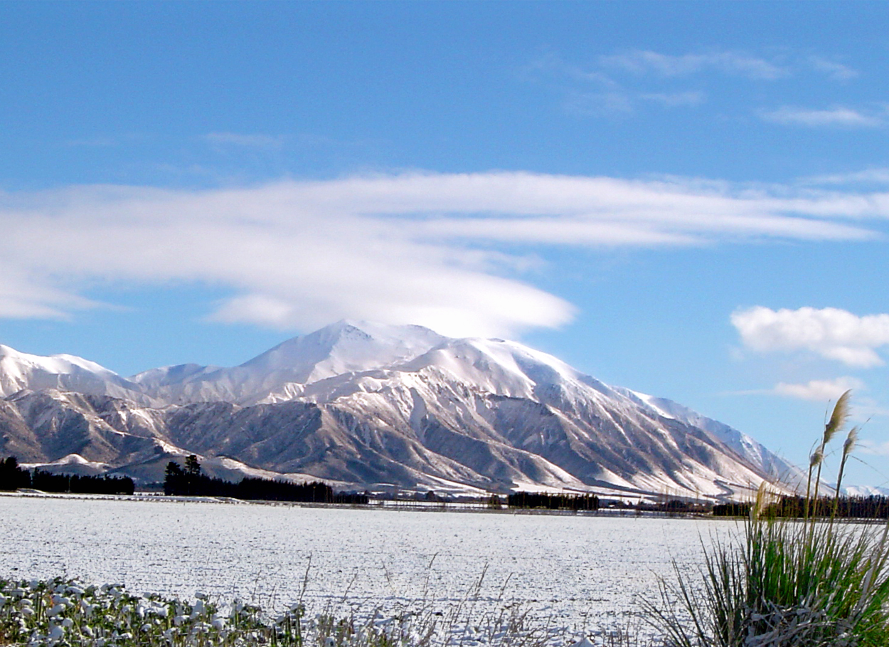 Photo: Wainscotting at English Wikipedia, Public domain (via Wikimedia Commons)
Huirapa / Mount Hutt
~11 min drive
 Photo: Michal Klajban, CC BY-SA 4.0 (via Wikimedia Commons)
Cookies Hut
~11 min drive
 Photo: Schwede66, CC BY-SA 4.0 (via Wikimedia Commons)
Rakaia Gorge Camping Ground
~12 min drive
 Photo: dr.scott.mills, CC BY-SA 2.0 (via Wikimedia Commons)
Sharplin Falls
~12 min drive
 Photo: Michal Klajban, CC BY-SA 4.0 (via Wikimedia Commons)
Trig 'M'
~34 min drive
Conditions and forecast
Daily highs and lows, wind and the chance of precipitation at Opuke Track for the next 7 days, from the Open-Meteo model.
Map and trail data © OpenStreetMap contributors
