Rakaia Gorge Camping Ground
A campground in Canterbury, New Zealand.
 Photo: Schwede66, CC BY-SA 4.0 (via Wikimedia Commons)
- At 958 ft
Rakaia Gorge Camping Ground is a campground in Canterbury, New Zealand, at about 960 ft above sea level. OpenStreetMap lists toilets, drinking water and showers. Trails within about a mile include TA08c Rakaia River hazard bypass and Rakaia Gorge Track. The nearest town is Methven, about 7.8 miles north of the campground. Peaks within about 3 miles include Bryans Hill. The location and elevation come from OpenStreetMap and the Copernicus 90 m elevation model. Check local access rules and conditions before you go.
Make it a trip
Roamze builds the days around this campground: where to sleep, where to eat after, what to do if it rains. You change anything.
Keep exploring — more campsites worth the drive
 Photo: Lord A.Nelson, CC BY-SA 4.0 (via Wikimedia Commons)
Glentunnel Holiday Park
~24 min drive
A campground in Canterbury, New Zealand.
 Photo: Michal Klajban, CC BY-SA 4.0 (via Wikimedia Commons)
Tribulation Hut
~18 min drive
An unstaffed wilderness hut in Canterbury, New Zealand.
 Photo: Mike Dickison, CC BY 4.0 (via Wikimedia Commons)
Mt Somers Holiday Park
~31 min drive
A campground in Canterbury, New Zealand.
 Photo: Michal Klajban, CC BY-SA 4.0 (via Wikimedia Commons)
Cookies Hut
~19 min drive
An unstaffed wilderness hut in Canterbury, New Zealand.
 Photo: Mike Dickison, CC BY 4.0 (via Wikimedia Commons)
Mt Somers Domain Camp
~31 min drive
A campground in Canterbury, New Zealand.
 Photo: Michal Klajban, CC BY-SA 4.0 (via Wikimedia Commons)
Benmore Hut
~20 min drive
An unstaffed wilderness hut in Canterbury, New Zealand.
 Photo: Giantflightlessbirds, CC BY-SA 3.0 (via Wikimedia Commons)
Hinds River
~39 min drive
A campground in Canterbury, New Zealand.
 Photo: Michal Klajban, CC BY-SA 4.0 (via Wikimedia Commons)
Pinnacles Hut
~26 min drive
An unstaffed wilderness hut in Canterbury, New Zealand.
 Photo: Michal Klajban, CC BY-SA 4.0 (via Wikimedia Commons)
Mistletoe Flat Campsite
~44 min drive
An informal camping spot in Canterbury, New Zealand.
 Photo: Michal Klajban, CC BY-SA 4.0 (via Wikimedia Commons)
Comyns Hut
~27 min drive
An unstaffed wilderness hut in Canterbury, New Zealand.
Also worth it near here
 Photo: Mrastron, CC BY 4.0 (via Wikimedia Commons)
Rakaia Gorge Track
~0 min drive
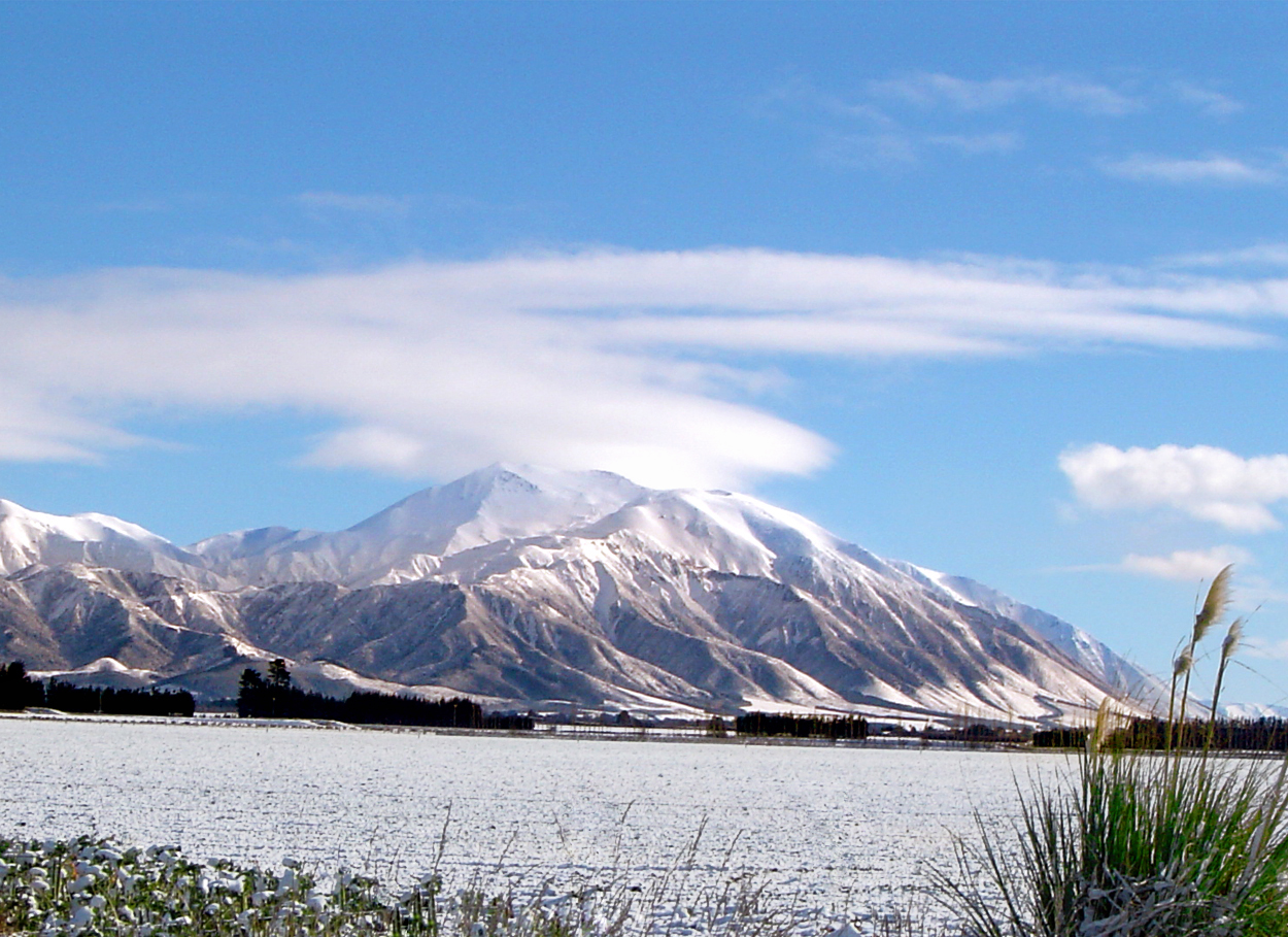 Photo: Wainscotting at English Wikipedia, Public domain (via Wikimedia Commons)
Huirapa / Mount Hutt
~12 min drive
 Photo: dr.scott.mills, CC BY-SA 2.0 (via Wikimedia Commons)
Sharplin Falls
~25 min drive
 Photo: Michal Klajban, CC BY-SA 4.0 (via Wikimedia Commons)
Trig 'M'
~25 min drive
Conditions and forecast
Daily highs and lows, wind and the chance of precipitation at Rakaia Gorge Camping Ground for the next 7 days, from the Open-Meteo model.
Map and trail data © OpenStreetMap contributors
