Cerro El Durazno
- 3,604 ft
- summit
- Oct–Apr
- best months
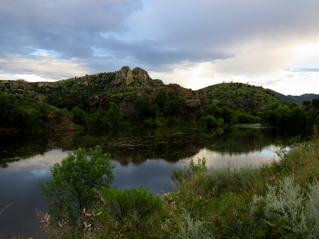
Cerro El Durazno is a mountain in Sonora, Mexico, with its summit at about 3,600 ft (1,098 m) above sea level. No mapped trail reaches the top in OpenStreetMap, so plan the approach with local maps or a guide. The nearest town is Los Janos, about 7.8 miles north of the summit. Peaks within about 3 miles include Cerro Ocotilloso, Cerro El rincon and Cerro Los Bandidos. In a typical July, the warmest month, highs reach about 92°F (33°C) and lows about 69°F (20°C); in January, the coldest, highs are about 63°F (17°C) and lows about 38°F (3°C). Precipitation falls on about 10 days in July, the wettest month, and about 1 days in May, the driest. These typical figures for 1981–2010 come from the CHELSA 1 km climate model and CRU TS 4.09. The location and elevation come from OpenStreetMap and the Copernicus 90 m elevation model. Check local access rules and conditions before you go.
Conditions and forecast
Daily highs and lows, wind and the chance of precipitation at the summit for the next 7 days, from the Open-Meteo model.
- Summit elevation
- 3,604 ft
We don't know of a mapped trail or route to the summit of Cerro El Durazno. Plan the approach with local maps, a guidebook or a local guide, and check conditions before you go.
Questions about Cerro El Durazno
How tall is Cerro El Durazno?
3,604 ft (1,098 m).
Is there a trail to the top of Cerro El Durazno?
We don't know of a mapped trail or route to the summit. Plan the approach with local maps, a guidebook or a local guide.
 Coronado Peak6,869 ft · Arizona2 routes43 mi awayPhoto: StellarD, CC BY-SA 4.0 (via Wikimedia Commons)
- Pat Scott Peak8,560 ft · Arizona1 route44 mi away
 Miller Peak9,463 ft · Arizona1 route45 mi awayPhoto: Seabamirum (Tim), CC BY 2.0 (via Wikimedia Commons)
- Ramsey Peak8,751 ft · Arizona1 route45 mi away
 Carr Peak9,236 ft · Arizona1 route45 mi awayPhoto: alb8001, Public domain (via Wikimedia Commons)
- Huachuca Peak8,414 ft · Arizona1 route46 mi away
- Cerro OcotillosoSummit · ~2 min drive
- Cerro El rinconSummit · ~2 min drive
- Cerro Los BandidosSummit · ~4 min drive
- Cerro La CruzSummit · ~7 min drive
- Cerro Los CuatesSummit · ~9 min drive
- Cerro La BanderaSummit · ~9 min drive
- Cerro El Encino BonitoSummit · ~10 min drive
- Cerro La viboraSummit · ~11 min drive
- Cerro Los NegrosSummit · ~12 min drive
- Cerro BlancoSummit · ~12 min drive
Best time to visit Cerro El Durazno
Best months: October–April. Best months have typical highs of 55–85 °F, lows of 30 °F or warmer (32 °F where the station doesn't record snow), at most one snowy day and no more than 12 wet days.
Jan
66° / 34°
4 wet
Feb
68° / 36°
4 wet
Mar
73° / 40°
3 wet
Apr
79° / 44°
1 wet
May
88° / 52°
1 wet
Jun
97° / 62°
4 wet
Jul
94° / 67°
14 wet
Aug
92° / 66°
14 wet
Sep
90° / 60°
7 wet
Oct
83° / 49°
3 wet
Nov
73° / 40°
3 wet
Dec
65° / 34°
4 wet
Typical high / low (°F) and days with rain or snow, 1991–2020. Measured at Nogales Intl Ap, AZ, 32.5 mi away at 3,932 ft. This station doesn't record snowfall. Source: NOAA NCEI U.S. Climate Normals 1991–2020.
Map and trail data © OpenStreetMap contributors
