Sentiero dei Pastori
- 1.7 mi
- round trip
- 3,679 ft
- climb
- 6,231 ft
- high point
- Out and back
- route
Sentiero dei Pastori is an out-and-back trail, 1.7 miles each way (3.4 miles round trip) in Piedmont, Italy, inside Parco Naturale del Marguareis. It runs between about 5,680 ft and 6,230 ft above sea level, with roughly 1,960 ft of climbing one way. It is demanding mountain hiking, with rocky or exposed stretches where you need sure footing. The nearest town is Piaggia, about 4.1 miles north of the trailhead. Peaks within about 3 miles include Dente di Carnino, Cima del Caplet and Rocca del Praet. Garb d'la Fus is within about 3 miles. For camping, Saradin is within about 6 miles. There are 2 other mapped trails within about 3 miles, so you can combine or extend the outing. Distances, elevations and the route shape here come from OpenStreetMap and the Copernicus 90 m elevation model. Trails, access rules and conditions change, so check locally before you go.
Keep exploring — more trails worth the drive
 Photo: Pampuco, CC BY-SA 4.0 (via Wikimedia Commons)
Traccia sentiero verso Costa Rossa
~17 min drive
An out-and-back trail, 0.7 miles each way (1.5 miles round trip) in Piedmont, Italy.
Ormea – Rifugio Mongioie
~5 min drive
A 13-mile point-to-point route in Piedmont, Italy.
Canalino delle Masche
~6 min drive
A 1.7-mile point-to-point route in Piedmont, Italy.
Sentiero Canavere
~11 min drive
An out-and-back trail, 0.5 miles each way (1.0 miles round trip) in Piedmont, Italy.
Sentiero dei Cravè
~12 min drive
An out-and-back trail, 2.8 miles each way (5.5 miles round trip) in Piedmont, Italy.
Canale dei Genovesi
~6 min drive
An out-and-back trail, 0.7 miles each way (1.4 miles round trip) in Piedmont, Italy.
Rifugio Mongioie – Rifugio Havis De Giorgio (Mondovì alla Sella del Piscio)
~6 min drive
A 4.5-mile point-to-point route in Piedmont, Italy.
Vir di Fné
~12 min drive
An out-and-back trail, 0.7 miles each way (1.4 miles round trip) in Piedmont, Italy.
H 12 - Sentiero del Vaccarile
~11 min drive
A 1.2-mile point-to-point route in Piedmont, Italy.
Sentiero Parco Alpi Liguri
~12 min drive
An out-and-back trail, 0.8 miles each way (1.7 miles round trip) in Liguria, Italy.
Also worth it near here
Saradin
~2 min drive
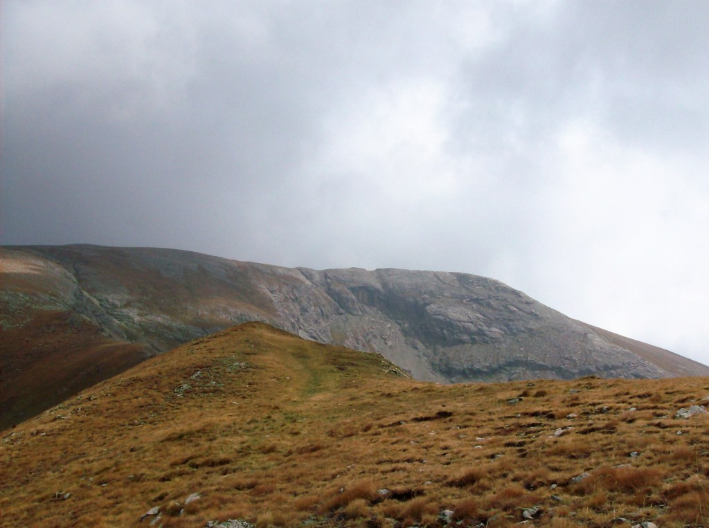 Photo: Luca Bergamasco, CC BY 3.0 (via Wikimedia Commons)
Cima Pian Ballaùr
~4 min drive
 Photo: Luca Bergamasco, CC BY 3.0 (via Wikimedia Commons)
Capanna Scientifica Saracco-Volante
~4 min drive
 Photo: Einaz80, CC BY-SA 4.0 (via Wikimedia Commons)
Cascata del Saut
~9 min drive
U Lagu
~9 min drive
Conditions and forecast
Daily highs and lows, wind and the chance of precipitation at Sentiero dei Pastori for the next 7 days, from the Open-Meteo model.
Map and trail data © OpenStreetMap contributors
