Traccia sentiero verso Costa Rossa
 Photo: Pampuco, CC BY-SA 4.0 (via Wikimedia Commons)
- 0.7 mi
- round trip
- 2,131 ft
- climb
- 7,793 ft
- high point
- Out and back
- route
Traccia sentiero verso Costa Rossa is an out-and-back trail, 0.7 miles each way (1.5 miles round trip) in Piedmont, Italy. It runs between about 5,660 ft and 7,790 ft above sea level, with roughly 0 ft of climbing one way. It is demanding alpine terrain with scrambling on exposed ground; it is for experienced, well-equipped hikers. Most of the way is dirt. The nearest town is San Bartolomeo, about 3.2 miles west of the trailhead. Peaks within about 3 miles include Bric Costa Rossa, Sperone Centrale and Cima Pitte. For camping, Luis Matlas and Il Melo are within about 6 miles. Distances, elevations and the route shape here come from OpenStreetMap and the Copernicus 90 m elevation model. Trails, access rules and conditions change, so check locally before you go.
Keep exploring — more trails worth the drive
HIKE
bosco delle ghiande
~4 min drive
An out-and-back trail, 0.5 miles each way (0.9 miles round trip) in Piedmont, Italy.
HIKE
H 12 - Sentiero del Vaccarile
~6 min drive
A 1.2-mile point-to-point route in Piedmont, Italy.
HIKE
Vir di Fné
~10 min drive
An out-and-back trail, 0.7 miles each way (1.4 miles round trip) in Piedmont, Italy.
HIKE
Canale dei Genovesi
~12 min drive
An out-and-back trail, 0.7 miles each way (1.4 miles round trip) in Piedmont, Italy.
HIKE
Limonetto – Palanfrè
~12 min drive
A 6.6-mile point-to-point route in Piedmont, Italy.
HIKE
Sentiero Granero al Crest
~7 min drive
An out-and-back trail, 0.8 miles each way (1.5 miles round trip) in Piedmont, Italy.
HIKE
Sentiero Canavere
~7 min drive
An out-and-back trail, 0.5 miles each way (1.0 miles round trip) in Piedmont, Italy.
HIKE
Canalino delle Masche
~13 min drive
A 1.7-mile point-to-point route in Piedmont, Italy.
HIKE
Traccia per la Cima dell'Oriol
~25 min drive
An out-and-back trail, 0.6 miles each way (1.3 miles round trip) in Piedmont, Italy.
HIKE
Rifugio Havis de Giorgio – Rifugio Garelli
~13 min drive
A 2.2-mile point-to-point route in Piedmont, Italy.
Also worth it near here
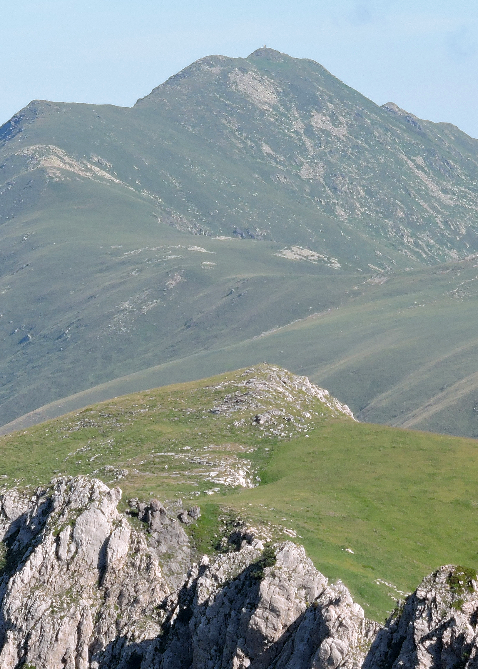 Photo: Pampuco, CC BY-SA 4.0 (via Wikimedia Commons)
Bric Costa Rossa
Next door
SKI
Pista Cabanas
~6 min drive
BED
Luis Matlas
~6 min drive
 Photo: Klaus Nahr, CC BY-SA 2.0 (via Wikimedia Commons)
IT08 - Limone - San Maurizio
~6 min drive
 Photo: Paolitosss, CC BY 4.0 (via Wikimedia Commons)
Cascata Gias Fontana
~7 min drive
Conditions and forecast
Daily highs and lows, wind and the chance of precipitation at Traccia sentiero verso Costa Rossa for the next 7 days, from the Open-Meteo model.
Map and trail data © OpenStreetMap contributors
