Ferrata Grasselli
A 0.6-mile point-to-point route in Friuli Venezia Giulia, Italy.
- 0.6 mi
- one way
- 1,132 ft
- climb
- 8,088 ft
- high point
- Point to point
- route
Ferrata Grasselli is a 0.6-mile point-to-point route in Friuli Venezia Giulia, Italy, inside Parco naturale regionale delle Prealpi Giulie. It runs between about 7,500 ft and 8,090 ft above sea level, with roughly 1,130 ft of climbing one way. It is demanding alpine terrain with scrambling on exposed ground; it is for experienced, well-equipped hikers. It is mapped as a named hiking route, with the sections joined into one trail here. The nearest town is Stolvizza / Solbica, about 3.8 miles east of the trailhead. Peaks within about 3 miles include Picco di Carnizza, Kanin / Canin and Kaninski Vršič. Fontanon di Goriuda and Cascata Cjalderon are within about 3 miles. There are 3 other mapped trails within about 3 miles, so you can combine or extend the outing. Distances, elevations and the route shape here come from OpenStreetMap and the Copernicus 90 m elevation model. Trails, access rules and conditions change, so check locally before you go.
Make it a trip
Roamze builds the days around this trail: where to sleep, where to eat after, what to do if it rains. You change anything.
Keep exploring — more trails worth the drive
 Photo: FulvioPlozner, CC BY-SA 4.0 (via Wikimedia Commons)
Soldatenweg Fort Hensel-Buchkopf
~18 min drive
An out-and-back trail, 1.1 miles each way (2.2 miles round trip) in Friuli Venezia Giulia, Italy.
Forcella de lis Sieris
~7 min drive
An out-and-back trail, 0.6 miles each way (1.3 miles round trip) in Friuli Venezia Giulia, Italy.
Via normale al Montasio
~8 min drive
A 0.9-mile point-to-point route in Friuli Venezia Giulia, Italy.
Troi dal Mat
~13 min drive
An out-and-back trail, 0.4 miles each way (0.8 miles round trip) in Friuli Venezia Giulia, Italy.
Sentiero per Zore
~15 min drive
An out-and-back trail, 0.7 miles each way (1.4 miles round trip) in Friuli Venezia Giulia, Italy.
Paternostri
~12 min drive
An out-and-back trail, 1.0 miles each way (2.0 miles round trip) in Friuli Venezia Giulia, Italy.
Canalone Findenegg
~8 min drive
A 0.4-mile point-to-point route in Friuli Venezia Giulia, Italy.
Cammino Celeste Italia - 8 Prato di Resia - Dogna
~11 min drive
A 3.6-mile point-to-point route in Friuli Venezia Giulia, Italy.
sentiero per Campodibonis
~15 min drive
An out-and-back trail, 0.4 miles each way (0.7 miles round trip) in Friuli Venezia Giulia, Italy.
Friedensweg
~17 min drive
An out-and-back trail, 0.4 miles each way (0.8 miles round trip) in Friuli Venezia Giulia, Italy.
Also worth it near here
 Photo: JakobZ, CC BY-SA 3.0 (via Wikimedia Commons)
Kanin / Canin
~1 min drive
 Photo: JakobZ, CC BY-SA 3.0 (via Wikimedia Commons)
Rifugio Celso Gilberti
~2 min drive
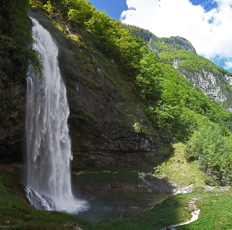 Photo: Vid Pogacnik, CC BY-SA 4.0 (via Wikimedia Commons)
Fontanon di Goriuda
~3 min drive
 Photo: kallerna, CC BY-SA 4.0 (via Wikimedia Commons)
Jôf di Montasio: Scala Pipan (from the road end)
~6 min drive
Conditions and forecast
Daily highs and lows, wind and the chance of precipitation at Ferrata Grasselli for the next 7 days, from the Open-Meteo model.
Map and trail data © OpenStreetMap contributors
