Jôf di Montasio: Scala Pipan (from the road end)
Route to the summit of Jôf di Montasio (9,035 ft) from Road end below Jôf di Montasio.
 Photo: kallerna, CC BY-SA 4.0 (via Wikimedia Commons)
- 4.1 mi
- round trip
- 3,957 ft
- climb
- 9,035 ft
- summit
- Out and back
- route
This route climbs Jôf di Montasio (9,035 ft, 2,754 m) in Friuli Venezia Giulia, Italy, from the road end below Jôf di Montasio, at about 5,200 ft. The summit stands about 3,900 ft above the start. On the mapped line it is 4.1 miles round trip with about 4,000 ft of climbing, out and back the same way. OpenStreetMap names the path "Scala Pipan" and grades it as a difficult alpine route. This is a high-altitude mountaineering route: check current conditions, and go with the gear and experience it needs. This page has the mapped line and a 7-day forecast for the summit and the start.
Keep exploring — more climbs worth the drive
 Photo: kallerna, CC BY-SA 4.0 (via Wikimedia Commons)
Mangart: Slovenska pot (from the road end)
~17 min drive
Route to the summit of Mangart (8,786 ft) from Road end below Mangart.
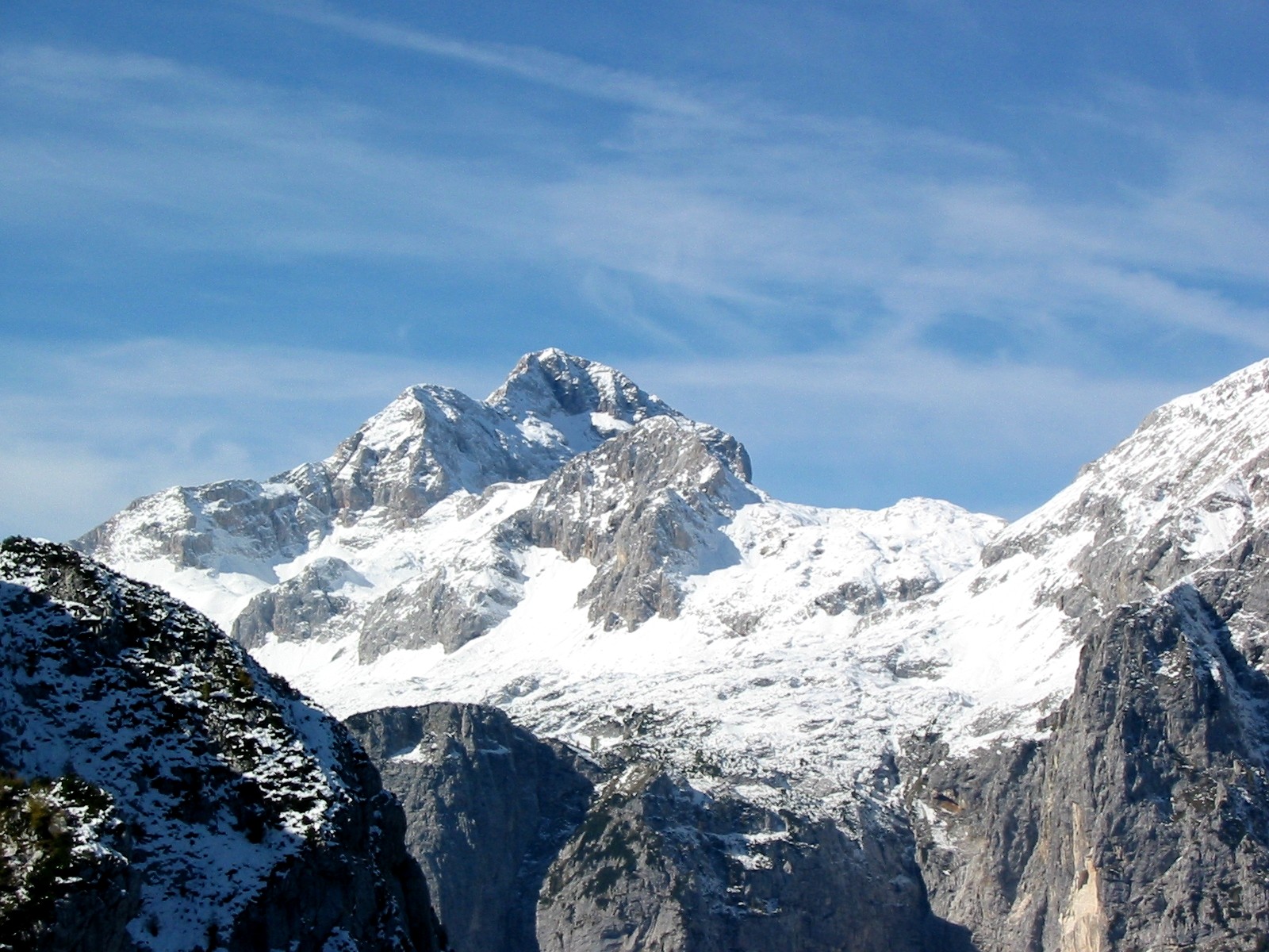 Photo: Andrej Jakobčič, CC BY-SA 3.0 (via Wikimedia Commons)
Triglav: Kugyjeva (from the road end)
~30 min drive
Route to the summit of Triglav (9,396 ft) from Road end below Triglav.
Also worth it near here
Route details
- Distance
- 4.1 mi round trip
- Climbing
- About 3,957 ft
- Starts at
- Road end below Jôf di Montasio
- Summit
- 9,035 ft
- Difficulty
- Expert
Questions about this route
How long is the Scala Pipan (from the road end) on Jôf di Montasio?
About 4.1 mi round trip from Road end below Jôf di Montasio.
How much elevation gain is on the Scala Pipan (from the road end)?
About 3,957 ft of climbing round trip.
How hard is the Scala Pipan (from the road end)?
It is rated expert.
Where does the Scala Pipan (from the road end) start?
Road end below Jôf di Montasio.
Conditions and forecast on Jôf di Montasio
Daily highs and lows, wind and the chance of precipitation at the summit and route start for the next 7 days, from the Open-Meteo model.
© openrouteservice.org by HeiGIT | Map data © OpenStreetMap contributors
