Castelsaraceno – Conserva Lauria
- 17.1 mi
- one way
- 2,496 ft
- climb
- 4,679 ft
- high point
- Point to point
- route
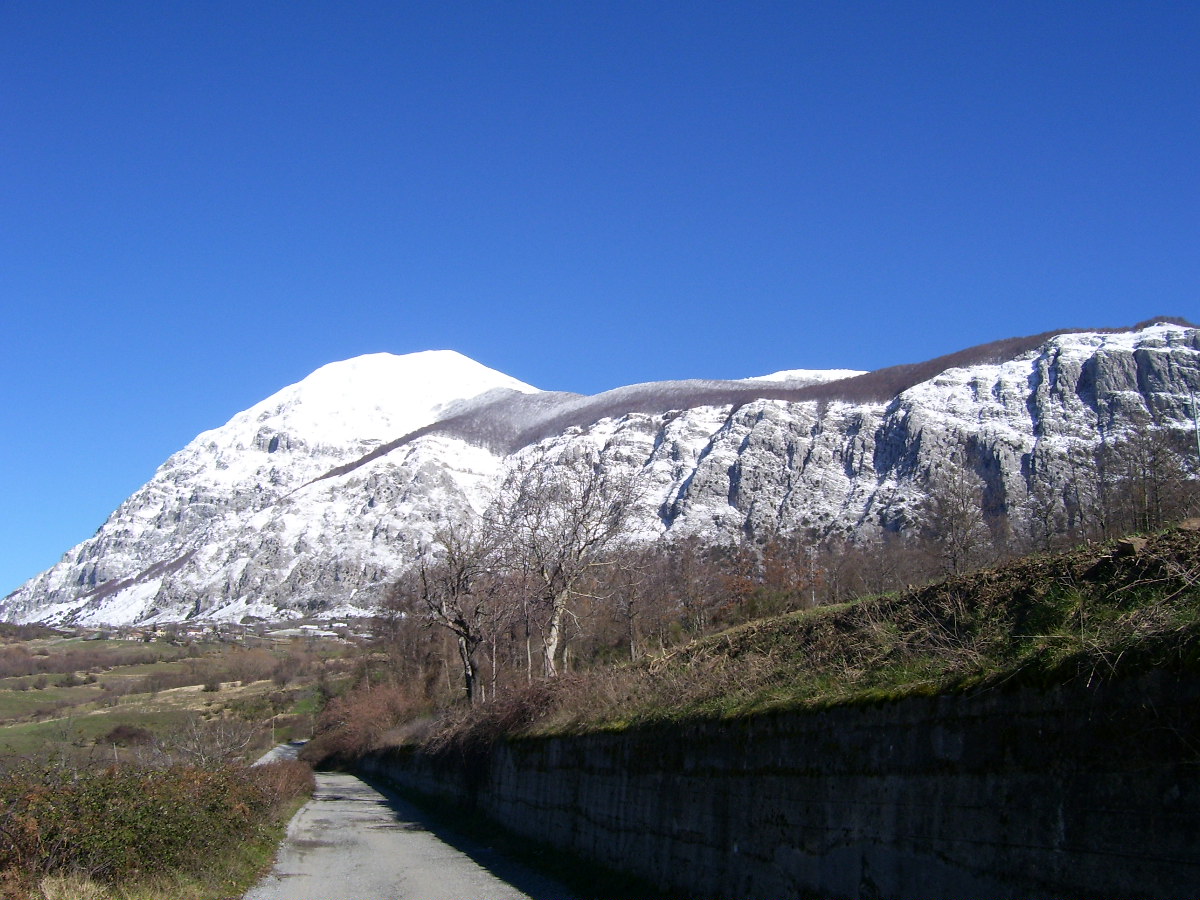
Castelsaraceno – Conserva Lauria is a 17-mile point-to-point route in Basilicata, Italy, inside Parco Nazionale dell'Appennino Lucano-Val d'Agri-Lagonegrese. It runs between about 3,030 ft and 4,680 ft above sea level, with roughly 2,500 ft of climbing one way. It is mapped as a named hiking route, with the sections joined into one trail here. The nearest town is Castelsaraceno, about 5.5 miles west of the trailhead. Peaks within about 3 miles include Monte Timpa La Murgia, Timpa la Pinta and Serra Giumenta. Distances, elevations and the route shape here come from OpenStreetMap and the Copernicus 90 m elevation model. Trails, access rules and conditions change, so check locally before you go.
Keep exploring — more trails worth the drive
 Photo: Gianni Lupindo, CC BY-SA 3.0 (via Wikimedia Commons)
Conserva di Lauria – Lago Sirino
~10 min drive
A 9.4-mile point-to-point route in Basilicata, Italy.
HIKE
Sentiero di collegamento per Sentiero "Tra Cielo e Terra"
~8 min drive
A 0.6-mile point-to-point route in Basilicata, Italy.
HIKE
Sentiero dei Rupazzi
~27 min drive
A 0.8-mile point-to-point route in Campania, Italy.
HIKE
IPV2 - Sentiero dei Carbonai
~36 min drive
An out-and-back trail, 0.8 miles each way (1.5 miles round trip) in Basilicata, Italy.
 Photo: Simon Legner (User:simon04), CC BY-SA 4.0 (via Wikimedia Commons)
San Severino Lucano – Latronico
~13 min drive
A 17-mile point-to-point route in Basilicata, Italy.
HIKE
640 MSK Maratea Skyline
~23 min drive
An out-and-back trail, 1.5 miles each way (3.1 miles round trip) in Basilicata, Italy.
HIKE
Sentiero Isca
~31 min drive
An out-and-back trail, 0.6 miles each way (1.2 miles round trip) in Campania, Italy.
HIKE
Sentiero del Pollino
~38 min drive
A 1.4-mile point-to-point route in Calabria, Italy.
 Photo: Agos vi, CC BY-SA 4.0 (via Wikimedia Commons)
Piano Novacco – Morano Calabro
~42 min drive
A 8.3-mile point-to-point route in Calabria, Italy.
HIKE
Via Ferrata Salemm
~47 min drive
A 0.7-mile point-to-point route in Basilicata, Italy.
Also worth it near here

Conditions and forecast
Daily highs and lows, wind and the chance of precipitation at Castelsaraceno – Conserva Lauria for the next 7 days, from the Open-Meteo model.
Map and trail data © OpenStreetMap contributors
