Variante coast 2 coast MTB
- 1.4 mi
- one way
- 757 ft
- climb
- Point to point
- route
Variante coast 2 coast MTB is a 1.4-mile mountain bike trail in Basilicata, Italy, inside Parco Nazionale dell'Appennino Lucano-Val d'Agri-Lagonegrese. It runs between about 3,080 ft and 3,780 ft above sea level, with roughly 760 ft of climbing one way. It is mapped as a named route, with its sections joined into one trail here. The nearest town is Moliterno, about 4.8 miles south of the start. Peaks within about 3 miles include Timpa Cersito, Cozzo Riccio and Cozza Pescone. Distances, elevations and the trail shape here come from OpenStreetMap and the Copernicus 90 m elevation model. Trail access for bikes, closures and conditions change, so check locally before you ride.
Keep exploring — more rides worth the drive
RIDE
Lagonegro-Pecorone MTB
~12 min drive
A 7.3-mile mountain bike trail in Basilicata, Italy.
RIDE
Masistro
~42 min drive
An out-and-back mountain bike trail in Calabria, Italy.
RIDE
Sentiero del Malevento
~42 min drive
An out-and-back mountain bike trail in Calabria, Italy.
RIDE
snake lungo
~46 min drive
An out-and-back mountain bike trail in Basilicata, Italy.
RIDE
Dente del Diavolo
~48 min drive
An out-and-back mountain bike trail in Basilicata, Italy.
RIDE
Sentiero Passo della Beta
~50 min drive
An out-and-back mountain bike trail in Campania, Italy.
Also worth it near here
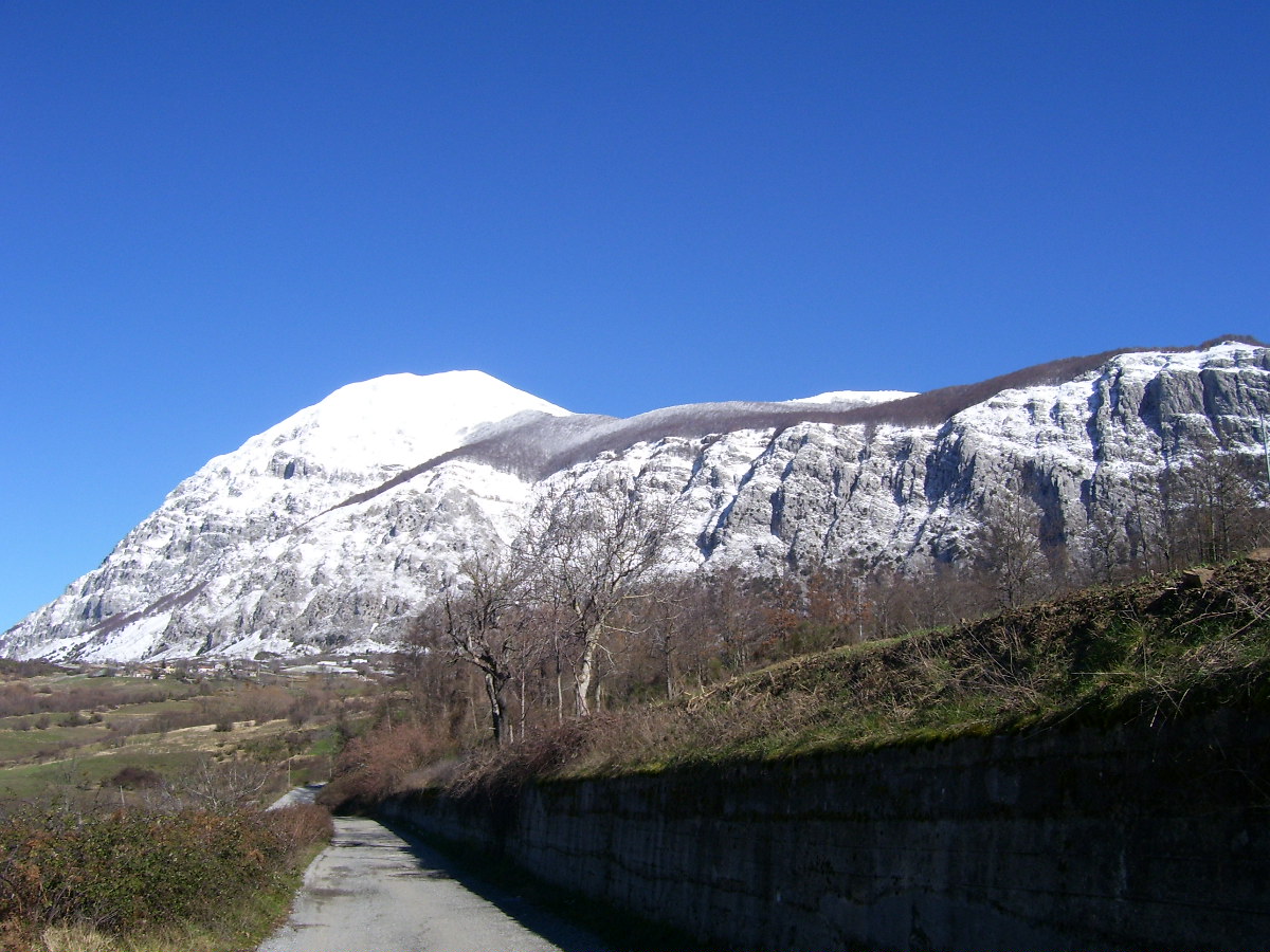 Photo: AndreaCris at Italian Wikipedia, Public domain (via Wikimedia Commons)
Monte Alpi (Cima Pizzo Falcone)
~10 min drive
 Photo: Gianni Lupindo, CC BY-SA 3.0 (via Wikimedia Commons)
Rifugio Bosco Favino
~11 min drive
 Photo: Gianni Lupindo, CC BY-SA 3.0 (via Wikimedia Commons)
Conserva di Lauria – Lago Sirino
~12 min drive
BED
Agriturismo Parco Verde
~13 min drive
Conditions and forecast
Daily highs and lows, wind and the chance of precipitation at Variante coast 2 coast MTB for the next 7 days, from the Open-Meteo model.
Map and trail data © OpenStreetMap contributors
