Camping Mongenet
A campground in Aosta Valley, Italy.
- At 2,232 ft
Camping Mongenet is a campground in Aosta Valley, Italy, at about 2,230 ft above sea level. OpenStreetMap lists electric hookups. Camping here is paid. Trails within about a mile include Cammino Balteo (Bassa Via della Valle d'Aosta), Tappa 3, Cammino Balteo (Bassa Via della Valle d'Aosta), Tappa 1 and Cammino Balteo (Bassa Via della Valle d'Aosta), Tappa 2. It is on the edge of Lillianes. Peaks within about 3 miles include Bec-Fourà, Lose Bianche and Mont Portola. Cascata del Bouro is within about 3 miles. For camping, Camping & Agriturismo Nosy and Camping La Pineta Gaby are within about 6 miles. The location and elevation come from OpenStreetMap and the Copernicus 90 m elevation model. Check local access rules and conditions before you go.
Keep exploring — more campsites worth the drive
 Photo: F Ceragioli, CC BY-SA 3.0 (via Wikimedia Commons)
Rifugio Delfo e Agostino Coda
~5 min drive
A mountain hut in Piedmont, Italy.
Camping & Agriturismo Nosy
~7 min drive
A campground in Piedmont, Italy.
 Photo: Franco56, CC BY-SA 4.0 (via Wikimedia Commons)
Rifugio Barma
~7 min drive
A mountain hut in Piedmont, Italy.
Camping La Pineta Gaby
~8 min drive
A campground in Aosta Valley, Italy.
 Photo: F Ceragioli, CC BY-SA 3.0 (via Wikimedia Commons)
Rifugio Mombarone
~7 min drive
A mountain hut in Piedmont, Italy.
Camping Mombarone
~9 min drive
A campground in Piedmont, Italy.
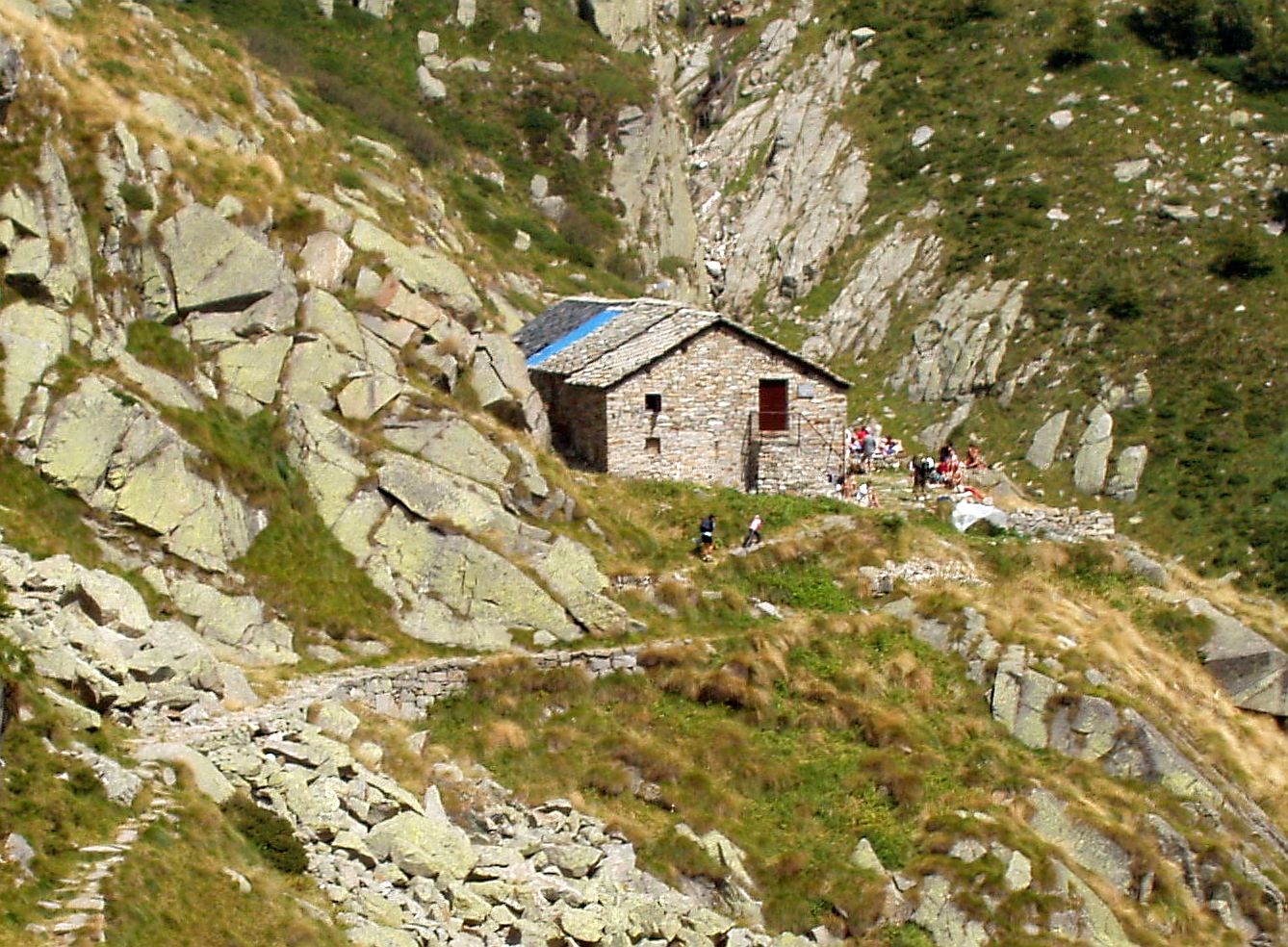 Photo: F Ceragioli, CC BY-SA 3.0 (via Wikimedia Commons)
Rifugio Lago della Vecchia
~9 min drive
A mountain hut in Piedmont, Italy.
Camping La Grolla
~14 min drive
A campground in Aosta Valley, Italy.
 Photo: Ivan Ruggiero, CC BY-SA 4.0 (via Wikimedia Commons)
Rifugio Madonna della Neve
~10 min drive
A mountain hut in Piedmont, Italy.
Camping Margherita
~16 min drive
A campground in Aosta Valley, Italy.
Also worth it near here
 Photo: F Ceragioli, CC BY-SA 3.0 (via Wikimedia Commons)
Bec di Nona
~4 min drive
Sentiero La Cou Col-de-Fenêtre
~7 min drive
 Photo: Patafisik, CC BY-SA 3.0 (via Wikimedia Commons)
Alta Via n. 1 della Valle d'Aosta - Tappa 1
~8 min drive
 Photo: Hagai Agmon-Snir حچاي اچمون-سنير חגי אגמון-שניר, CC BY-SA 4.0 (via Wikimedia Commons)
Cascata di Isollaz
~13 min drive
Conditions and forecast
Daily highs and lows, wind and the chance of precipitation at Camping Mongenet for the next 7 days, from the Open-Meteo model.
Map and trail data © OpenStreetMap contributors
