Camping La Grolla
A campground in Aosta Valley, Italy.
- At 3,659 ft
Camping La Grolla is a campground in Aosta Valley, Italy, at about 3,660 ft above sea level. OpenStreetMap lists toilets, showers and electric hookups. Camping here is paid. It has about 93 sites. Trails within about a mile include Via Béchaz, Sentiero per Miniere di Bechaz and Sentiero di Génévrére. The nearest town is Challand-Saint-Anselme, about 1.0 miles north of the campground. Peaks within about 3 miles include Testa Comagna, Cleve di Moulaz and Monte di Chamousira. Cascata di Orbeillaz and Cascata di Paccard are within about 3 miles. For camping, Camping Deans and Camping Monte Rosa are within about 6 miles. The location and elevation come from OpenStreetMap and the Copernicus 90 m elevation model. Check local access rules and conditions before you go.
Keep exploring — more campsites worth the drive
 Photo: Rollopack, Public domain (via Wikimedia Commons)
Rifugio Arp
~7 min drive
A mountain hut in Aosta Valley, Italy.
Camping Deans
~7 min drive
A campground in Aosta Valley, Italy.
 Photo: Francofranco56, CC BY-SA 3.0 (via Wikimedia Commons)
Rifugio Alpenzu Grande
~10 min drive
A mountain hut in Aosta Valley, Italy.
Camping Monte Rosa
~8 min drive
A campground in Aosta Valley, Italy.
 Photo: F Ceragioli, CC BY-SA 3.0 (via Wikimedia Commons)
Ospizio Sottile
~12 min drive
A mountain hut in Aosta Valley, Italy.
Camping Margherita
~9 min drive
A campground in Aosta Valley, Italy.
 Photo: Franco56, CC BY-SA 4.0 (via Wikimedia Commons)
Bivacco Gastaldi
~15 min drive
An unstaffed wilderness hut in Aosta Valley, Italy.
Prima Luce Village
~9 min drive
A campground in Aosta Valley, Italy.
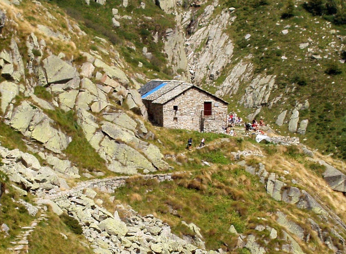 Photo: F Ceragioli, CC BY-SA 3.0 (via Wikimedia Commons)
Rifugio Lago della Vecchia
~15 min drive
A mountain hut in Piedmont, Italy.
Camping Sole e neve
~9 min drive
A campground in Aosta Valley, Italy.
Also worth it near here
Sentiero del Bosco Nero
~1 min drive
 Photo: F Ceragioli, CC BY-SA 3.0 (via Wikimedia Commons)
Testa Comagna
~3 min drive
 Photo: Hagai Agmon-Snir حچاي اچمون-سنير חגי אגמון-שניר, CC BY-SA 4.0 (via Wikimedia Commons)
Cascata di Isollaz
~6 min drive
Sentiero Chatillon Promiod
~12 min drive
Pista Sci di Fondo sud Gress
~13 min drive
Conditions and forecast
Daily highs and lows, wind and the chance of precipitation at Camping La Grolla for the next 7 days, from the Open-Meteo model.
Map and trail data © OpenStreetMap contributors
