draille des Frères Nouguier
- 1.1 mi
- one way
- 100 ft
- climb
- 1,652 ft
- high point
- Point to point
- route
- Mar–Oct
- best months
draille des Frères Nouguier is a 1.1-mile point-to-point route in Provence-Alpes-Côte d'Azur, France, inside Parc naturel régional du Luberon. It runs between about 560 ft and 1,650 ft above sea level, with roughly 100 ft of climbing one way. It is a mountain path with steeper and uneven sections, so wear proper hiking shoes. Most of the way is dirt. It is mapped as a named hiking route, with the sections joined into one trail here. The nearest town is Maubec, about 1.0 miles southwest of the trailhead. For camping, Camping les Royères du Prieuréalt and Camping Les Boudougnes are within about 6 miles. There are 11 other mapped trails within about 3 miles, so you can combine or extend the outing. Distances, elevations and the route shape here come from OpenStreetMap and the Copernicus 90 m elevation model. Trails, access rules and conditions change, so check locally before you go.
Conditions and forecast
Daily highs and lows, wind and the chance of precipitation at draille des Frères Nouguier for the next 7 days, from the Open-Meteo model.
 Château de Buoux - Les PicatiersHiking · ~21 min drivePhoto: Stéphane Gallay from Laconnex, Switzerland, CC BY 2.0 (via Wikimedia Commons)
 Sentier du Pas de l'EscaletteHiking · ~52 min drivePhoto: Mathieu BROSSAIS, CC BY 4.0 (via Wikimedia Commons)
 Sentier du pas du moineHiking · ~52 min drivePhoto: Mathieu BROSSAIS, CC BY 4.0 (via Wikimedia Commons)
- Sentier de la TouloubreHiking · ~27 min drive
- Ravin du LoupHiking · ~33 min drive
 Via Aurelia, Aix - Salon de ProvenceHiking · ~22 min drivePhoto: Tiberio Frascari from Bologna, Italia, Public domain (via Wikimedia Commons)
- Sentier difficile, escarpé et mal tracéHiking · ~1 min drive
- Descente du cul par terreHiking · ~1 min drive
- Chemin de Tranche BoudinHiking · ~34 min drive
 Abbaye Saint-Honorat – Arènes d'ArlesHiking · ~46 min drivePhoto: This picture belongs to Xavier Caré.
Please credit : Xavier Caré / Wikimedia Commons / CC-BY-SA.
If you would like special permission to use, license, or purchase the image please contact me to negotiate terms.
I'd appreciate if you could let me know about it or mail me ( xavier.carepm.me) if you want to use this picture out of the Wikimedia project scope., CC BY-SA 4.0 (via Wikimedia Commons)
Also worth it near here
- Bastidon du PradonHut camping · ~5 min drive
 Colline Saint-JacquesSummit · ~8 min drivePhoto: Véronique PAGNIER, CC BY-SA 3.0 (via Wikimedia Commons)
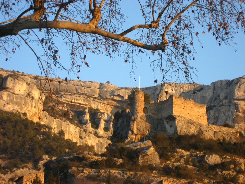 Circuit VTT : Fontaine de VaucluseMountain biking · ~11 min drivePhoto: Joel Takv, CC BY-SA 2.5 (via Wikimedia Commons)
 Les OliviersCamping · ~17 min drivePhoto: Stuart Locke, CC BY-SA 3.0 (via Wikimedia Commons)
- Canal de MarseilleBoat launch · ~17 min drive
Best time to visit draille des Frères Nouguier
Best months: March–October. Best months have typical highs of 55–85 °F, lows of 30 °F or warmer (32 °F where there's no snowfall data), at most one snowy day and no more than 12 wet days.
Jan
47° / 31°
10 wet
Feb
49° / 32°
8 wet
Mar
55° / 36°
8 wet
Apr
60° / 41°
10 wet
May
68° / 48°
10 wet
Jun
77° / 55°
7 wet
Jul
83° / 60°
4 wet
Aug
82° / 60°
6 wet
Sep
73° / 54°
8 wet
Oct
64° / 48°
11 wet
Nov
53° / 39°
11 wet
Dec
48° / 33°
10 wet
Typical high / low (°F) and days with rain or snow, 1981–2010. Modelled for the 1 km square this place sits in (average height 1,581 ft), not measured at a weather station. Snowfall days aren't in this data. Source: CHELSA 1 km climate model (1981–2010) and CRU TS 4.09 wet days. Data: CHELSA V2.1 climatologies (Karger et al. 2017), WSL (CC0 1.0); CRU TS 4.09 (Harris et al. 2020), University of East Anglia Climatic Research Unit. Contains public sector information licensed under the Open Government Licence v3.0. (Open Government Licence v3.0).
Map and trail data © OpenStreetMap contributors
