Le Gouret
- At 4,944 ft
Le Gouret is a campground in Provence-Alpes-Côte d'Azur, France, at about 4,940 ft above sea level. It is inside Parc naturel régional du Queyras. OpenStreetMap lists toilets, showers and electric hookups. Camping here is paid. The nearest town is Aiguilles, about 1.3 miles northeast of the campground. Peaks within about 3 miles include La Lauze, Sommet de la Querlaye and Le Mourre Froid. For camping, bivouac possible and Queyras Caravaneige are within about 6 miles. The location and elevation come from OpenStreetMap and the Copernicus 90 m elevation model. Check local access rules and conditions before you go.
Keep exploring — more campsites worth the drive
 Photo: Pimo69, CC BY-SA 4.0 (via Wikimedia Commons)
Refuge des Fonts de Cervières
~9 min drive
A mountain hut in Provence-Alpes-Côte d'Azur, France.
BED
bivouac possible
~3 min drive
A campground in Provence-Alpes-Côte d'Azur, France.
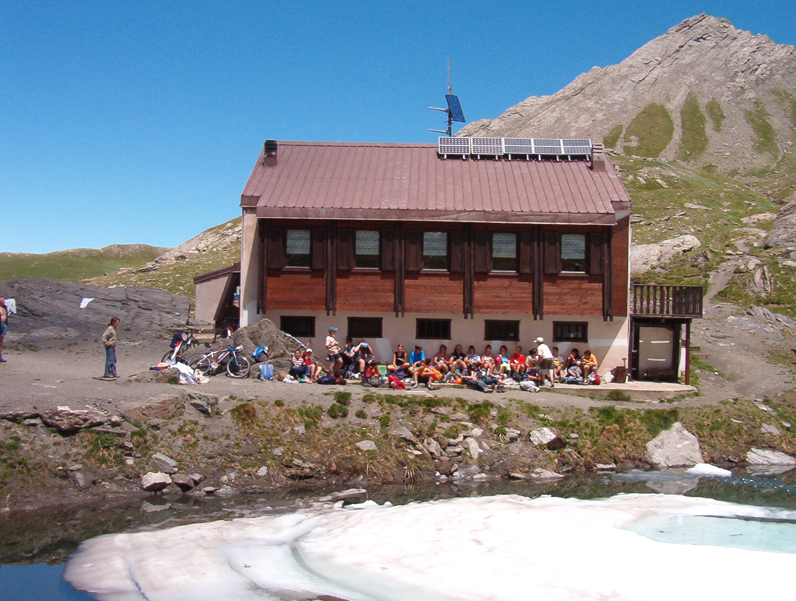 Photo: Franco56, CC BY-SA 3.0 (via Wikimedia Commons)
Rifugio Lago Verde
~12 min drive
A mountain hut in Piedmont, Italy.
BED
Queyras Caravaneige
~3 min drive
A campground in Provence-Alpes-Côte d'Azur, France.
 Photo: Heinrich Stürzl, CC BY-SA 4.0 (via Wikimedia Commons)
Rifugio Willy Jervis
~13 min drive
A mountain hut in Piedmont, Italy.
BED
Camping GCU de Aiguilles
~4 min drive
A campground in Provence-Alpes-Côte d'Azur, France.
 Photo: Francofranco56, Public domain (via Wikimedia Commons)
Refuge Napoléon
~14 min drive
A mountain hut in Provence-Alpes-Côte d'Azur, France.
BED
Camping Municipal de Valpréveyre (Abriès)
~7 min drive
A campground in Provence-Alpes-Côte d'Azur, France.
 Photo: Heinrich Stürzl, CC BY-SA 4.0 (via Wikimedia Commons)
Rifugio Battaglione Alpini Monte Granero
~15 min drive
A mountain hut in Piedmont, Italy.
BED
Camping Municipal du Chardonnet Ou La Monta
~8 min drive
A campground in Provence-Alpes-Côte d'Azur, France.


Conditions and forecast
Daily highs and lows, wind and the chance of precipitation at Le Gouret for the next 7 days, from the Open-Meteo model.
Map and trail data © OpenStreetMap contributors
