Camping Municipal du Chardonnet Ou La Monta
- At 5,407 ft
Camping Municipal du Chardonnet Ou La Monta is a campground in Provence-Alpes-Côte d'Azur, France, at about 5,410 ft above sea level. It is inside Parc naturel régional du Queyras. Camping here is paid. It has about 44 sites. Trails within about a mile include Tour du Queyras. The nearest town is Ristolas, about 1.2 miles east of the campground. Peaks within about 3 miles include Pic de Maloqueste, Pic de Chabrière and La Lauzière. For camping, Queyras Caravaneige and Camping Municipal de Valpréveyre (Abriès) are within about 6 miles. The location and elevation come from OpenStreetMap and the Copernicus 90 m elevation model. Check local access rules and conditions before you go.
Keep exploring — more campsites worth the drive
 Photo: Heinrich Stürzl, CC BY-SA 4.0 (via Wikimedia Commons)
Rifugio Willy Jervis
~5 min drive
A mountain hut in Piedmont, Italy.
BED
Queyras Caravaneige
~5 min drive
A campground in Provence-Alpes-Côte d'Azur, France.
 Photo: Heinrich Stürzl, CC BY-SA 4.0 (via Wikimedia Commons)
Rifugio Battaglione Alpini Monte Granero
~7 min drive
A mountain hut in Piedmont, Italy.
BED
Camping Municipal de Valpréveyre (Abriès)
~5 min drive
A campground in Provence-Alpes-Côte d'Azur, France.
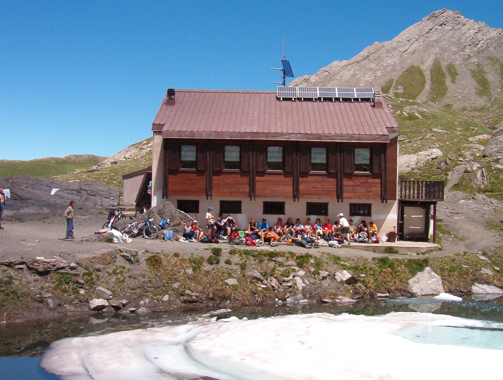 Photo: Franco56, CC BY-SA 3.0 (via Wikimedia Commons)
Rifugio Lago Verde
~8 min drive
A mountain hut in Piedmont, Italy.
BED
Le Gouret
~8 min drive
A campground in Provence-Alpes-Côte d'Azur, France.
 Photo: Francofranco56, Public domain (via Wikimedia Commons)
Rifugio Barbara Lowrie
~9 min drive
A mountain hut in Piedmont, Italy.
BED
bivouac possible
~9 min drive
A campground in Provence-Alpes-Côte d'Azur, France.
 Photo: Frédéric Bunoz, CC BY-SA 1.0 (via Wikimedia Commons)
Refuge du Viso
~10 min drive
A mountain hut in Piedmont, Italy.
BED
Camping GCU de Aiguilles
~11 min drive
A campground in Provence-Alpes-Côte d'Azur, France.
Also worth it near here
SKI
Les Adrets
Next door
RIDE
Chemin de la Vignette
~2 min drive
 Photo: Francofranco56, Public domain (via Wikimedia Commons)
Monte Palavas / Tête de Pelvas
~3 min drive
 Photo: martin.ale, CC BY-SA 3.0 (via Wikimedia Commons)
Rifugio Barbara Lowrie (Grange del Pis) – Villanova Pellice
~5 min drive
SEE
Cascata del Pis
~6 min drive
Conditions and forecast
Daily highs and lows, wind and the chance of precipitation at Camping Municipal du Chardonnet Ou La Monta for the next 7 days, from the Open-Meteo model.
Map and trail data © OpenStreetMap contributors
