Camping Pégomas
- At 194 ft
Camping Pégomas is a campground in Provence-Alpes-Côte d'Azur, France, at about 190 ft above sea level. It is inside Parc naturel régional des Alpilles. OpenStreetMap lists toilets, drinking water, showers and electric hookups. Camping here is paid. Trails within about a mile include Prat-Peyrot – Petit Lubéron and Via Domitia, Eygalières - Fontvieille. It is on the edge of Saint-Rémy-de-Provence. Peaks within about 3 miles include Mont Gaussier, Rocher des Deux Trous and Plateau de la Caume. For camping, Le Parc de la Bastide and Mas de Nicolas are within about 6 miles. The location and elevation come from OpenStreetMap and the Copernicus 90 m elevation model. Check local access rules and conditions before you go.
Keep exploring — more campsites worth the drive
 Photo: Stuart Locke, CC BY-SA 3.0 (via Wikimedia Commons)
Les Oliviers
~10 min drive
A campground in Provence-Alpes-Côte d'Azur, France.
 Photo: Jorge Franganillo, CC BY 4.0 (via Wikimedia Commons)
Camping du Pont d'Avignon
~20 min drive
A campground in Occitania, France.
BED
Le Parc de la Bastide
Next door
A campground in Provence-Alpes-Côte d'Azur, France.
BED
Mas de Nicolas
Next door
A campground in Provence-Alpes-Côte d'Azur, France.
BED
Camping Monplaisir
~2 min drive
A campground in Provence-Alpes-Côte d'Azur, France.
BED
Camping à la ferme du Vieux Chemin d'Arles
~2 min drive
A campground in Provence-Alpes-Côte d'Azur, France.
BED
Les Patios
~5 min drive
A campground in Provence-Alpes-Côte d'Azur, France.
BED
Le Pesquié
~8 min drive
A campground in Provence-Alpes-Côte d'Azur, France.
BED
Le Sampado
~8 min drive
A campground in Provence-Alpes-Côte d'Azur, France.
BED
Le Micocouliers
~8 min drive
A campground in Provence-Alpes-Côte d'Azur, France.
Also worth it near here
 Photo: Borvan53, CC BY-SA 4.0 (via Wikimedia Commons)
Rocher des Deux Trous
~3 min drive
SEE
Portage Kayak Barrage de Vallabrègues
~20 min drive
 Photo: This picture belongs to Xavier Caré.
Please credit : Xavier Caré / Wikimedia Commons / CC-BY-SA.
If you would like special permission to use, license, or purchase the image please contact me to negotiate terms.
I'd appreciate if you could let me know about it or mail me ( xavier.carepm.me) if you want to use this picture out of the Wikimedia project scope., CC BY-SA 4.0 (via Wikimedia Commons)
Abbaye Saint-Honorat – Arènes d'Arles
~22 min drive
DO
Plage naturiste du Parc des Libertés
~24 min drive
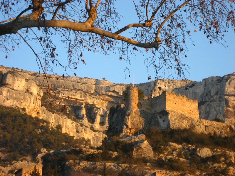 Photo: Joel Takv, CC BY-SA 2.5 (via Wikimedia Commons)
Circuit VTT : Fontaine de Vaucluse
~29 min drive
Conditions and forecast
Daily highs and lows, wind and the chance of precipitation at Camping Pégomas for the next 7 days, from the Open-Meteo model.
Map and trail data © OpenStreetMap contributors
