Camping Les Rives du Luberon
- At 292 ft
Camping Les Rives du Luberon is a campground in Provence-Alpes-Côte d'Azur, France, at about 290 ft above sea level. It is inside Parc naturel régional du Luberon. The nearest town is Cheval-Blanc, about 1.9 miles southeast of the campground. Peaks within about 3 miles include Mont Sauvy. For camping, La Vallée Heureuse and La Durance are within about 6 miles. The location and elevation come from OpenStreetMap and the Copernicus 90 m elevation model. Check local access rules and conditions before you go.
Keep exploring — more campsites worth the drive
 Photo: Stuart Locke, CC BY-SA 3.0 (via Wikimedia Commons)
Les Oliviers
~12 min drive
A campground in Provence-Alpes-Côte d'Azur, France.
SEE
Bastidon du Pradon
~8 min drive
An unstaffed wilderness hut in Provence-Alpes-Côte d'Azur, France.
BED
La Vallée Heureuse
~4 min drive
A campground in Provence-Alpes-Côte d'Azur, France.
SEE
grot
~22 min drive
An unstaffed wilderness hut in Provence-Alpes-Côte d'Azur, France.
BED
La Durance
~6 min drive
A campground in Provence-Alpes-Côte d'Azur, France.
BED
Les Argiles
~8 min drive
A campground in Provence-Alpes-Côte d'Azur, France.
BED
Camping les Royères du Prieuréalt
~8 min drive
A campground in Provence-Alpes-Côte d'Azur, France.
BED
Camping Fontenelle
~10 min drive
A campground in Provence-Alpes-Côte d'Azur, France.
BED
Les Cerisiers
~11 min drive
A campground in Provence-Alpes-Côte d'Azur, France.
BED
Camping Les Boudougnes
~12 min drive
A campground in Provence-Alpes-Côte d'Azur, France.
Also worth it near here
 Photo: Véronique PAGNIER, CC BY-SA 3.0 (via Wikimedia Commons)
Colline Saint-Jacques
~8 min drive
SEE
Canal de Marseille
~14 min drive
 Photo: Tiberio Frascari from Bologna, Italia, Public domain (via Wikimedia Commons)
Via Aurelia, Aix - Salon de Provence
~16 min drive
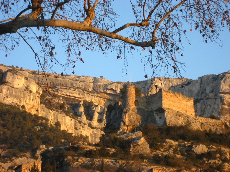 Photo: Joel Takv, CC BY-SA 2.5 (via Wikimedia Commons)
Circuit VTT : Fontaine de Vaucluse
~17 min drive
DO
Val de Durance
~25 min drive
Conditions and forecast
Daily highs and lows, wind and the chance of precipitation at Camping Les Rives du Luberon for the next 7 days, from the Open-Meteo model.
Map and trail data © OpenStreetMap contributors
