Cap de la Bouiche - Saint-Girons
- 8.5 mi
- loop
- 2,028 ft
- climb
- Loop
- route
Cap de la Bouiche - Saint-Girons is a 8.5-mile mountain bike trail that makes a loop in Occitania, France, inside Parc naturel régional des Pyrénées ariégeoises. It runs between about 1,390 ft and 2,700 ft above sea level, with roughly 2,030 ft of climbing over the route. It is mapped as a named route, with its sections joined into one trail here. The nearest town is Eycheil, about 0.9 miles west of the start. Peaks within about 3 miles include Mont Magaste, Tabourne and Le Sarrach. Cascade d'Aubert is within about 3 miles. For camping, Camping Parc de Paletes and Camping Le Pont Du Nert are within about 6 miles. Distances, elevations and the trail shape here come from OpenStreetMap and the Copernicus 90 m elevation model. Trail access for bikes, closures and conditions change, so check locally before you ride.
Keep exploring — more rides worth the drive
 Photo: Sylvie R., CC BY-SA 4.0 (via Wikimedia Commons)
Route des Sapins
~1h 10m drive
A 55-mile mountain bike trail that makes a loop in Occitania, France.
Transgarona
~37 min drive
An out-and-back mountain bike trail in Occitania, France.
Ancien Aqueduc
~39 min drive
An out-and-back mountain bike trail in Occitania, France.
La Toboggan
~39 min drive
An out-and-back mountain bike trail in Occitania, France.
La Sapin
~39 min drive
An out-and-back mountain bike trail in Occitania, France.
Magic Line
~1h 4m drive
A 2.4-mile mountain bike trail in Occitania, France.
Chemin des Cavaliers
~50 min drive
An out-and-back mountain bike trail in Occitania, France.
Paguère de Ruère
~43 min drive
An out-and-back mountain bike trail in Occitania, France.
Ancienne Voie de Chemin de Fer à Crémallière
~53 min drive
An out-and-back mountain bike trail in Occitania, France.
Single Forêt Lagrace Dieu
~49 min drive
An out-and-back mountain bike trail in Occitania, France.
Also worth it near here
Chemin de la Croix du Pouech
~1 min drive
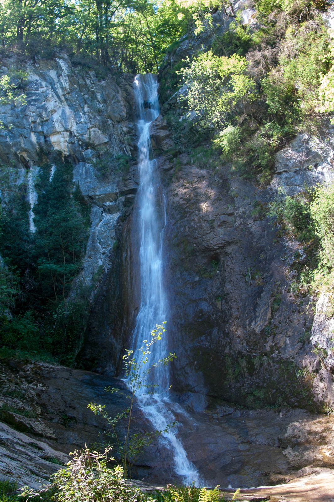 Photo: PierreG_09, CC BY-SA 2.0 (via Wikimedia Commons)
Cascade d'Aubert
~3 min drive
 Photo: Anicius Olybrius, CC BY-SA 2.0 (via Wikimedia Commons)
Char de Moulis
~5 min drive
Halte Jacquaire
~5 min drive
 Photo: Olybrius, CC BY-SA 3.0 (via Wikimedia Commons)
Camping Parc d'Audinac
~6 min drive
Conditions and forecast
Daily highs and lows, wind and the chance of precipitation at Cap de la Bouiche - Saint-Girons for the next 7 days, from the Open-Meteo model.
Map and trail data © OpenStreetMap contributors
