Camping Le Mouretou
- At 1,397 ft
Camping Le Mouretou is a campground in Occitania, France, at about 1,400 ft above sea level. It is inside Parc national des Cévennes (aire d'adhésion). Trails within about a mile include Valleraugue - Saint-Sauveur-de-Camprieu and Sentier des 4000 Marches. The nearest town is Valleraugue, about 1.7 miles west of the campground. Peaks within about 3 miles include l’Estivel, Rocalte and Cap de Brion. Cascades d'Orgon is within about 3 miles. For camping, Camping de l'Espérou and Aire naturelle de l’Aigoual are within about 6 miles. The location and elevation come from OpenStreetMap and the Copernicus 90 m elevation model. Check local access rules and conditions before you go.
Keep exploring — more campsites worth the drive
 Photo: Havang(nl), CC0 (via Wikimedia Commons)
Le Val de l'Arre
~12 min drive
A campground in Occitania, France.
SEE
Gîte d’étape réservé aux randonneurs
~12 min drive
A mountain hut in Occitania, France.
 Photo: Havang(nl), CC0 (via Wikimedia Commons)
Les Gorges de l'Hérault
~13 min drive
A campground in Occitania, France.
SEE
LE CROM De BLANDAS Gîte d’étape
~22 min drive
A mountain hut in Occitania, France.
BED
Camping de l'Espérou
~5 min drive
A campground in Occitania, France.
BED
Aire naturelle de l’Aigoual
~9 min drive
A campground in Occitania, France.
BED
Roubigies
~9 min drive
A campground in Occitania, France.
BED
GCU Camprieu
~10 min drive
A campground in Occitania, France.
BED
Camping municipal Saint-André
~10 min drive
A campground in Occitania, France.
BED
La Corconne
~11 min drive
A campground in Occitania, France.
Also worth it near here
 Photo: MallaurieBrach, CC BY-SA 4.0 (via Wikimedia Commons)
Sentier des 4000 Marches
~4 min drive
RIDE
La montagne de l'Espérou
~4 min drive
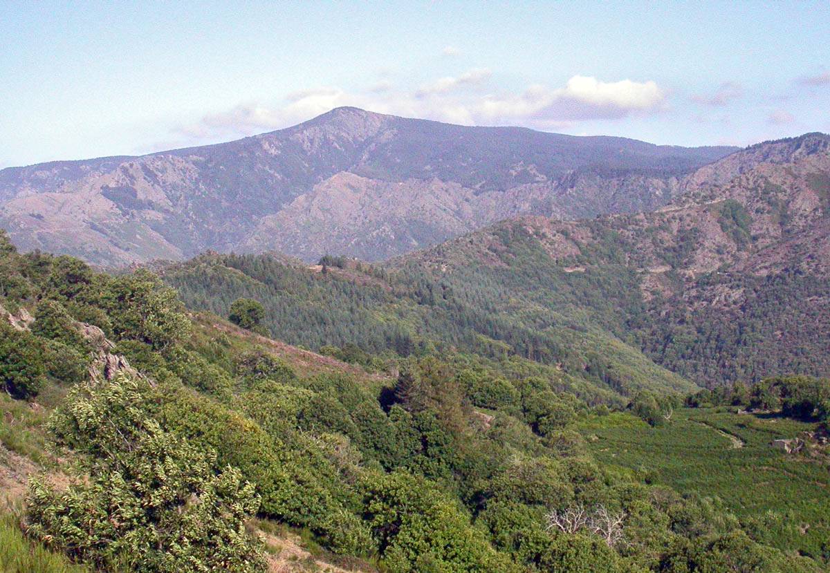 Photo: No machine-readable author provided. RobinL~commonswiki assumed (based on copyright claims)., CC BY-SA 2.5 (via Wikimedia Commons)
Mont Aigoual
~5 min drive
 Photo: Cardabelle, CC BY-SA 3.0 (via Wikimedia Commons)
Cascade de La Vis
~20 min drive
DO
Aire de la Roque
~21 min drive
Conditions and forecast
Daily highs and lows, wind and the chance of precipitation at Camping Le Mouretou for the next 7 days, from the Open-Meteo model.
Map and trail data © OpenStreetMap contributors
