Sentier des 4000 Marches
 Photo: MallaurieBrach, CC BY-SA 4.0 (via Wikimedia Commons)
- 4.5 mi
- one way
- 862 ft
- climb
- 4,667 ft
- high point
- Point to point
- route
Sentier des 4000 Marches is a 4.5-mile point-to-point route in Occitania, France, inside Parc national des Cévennes (cœur). It runs between about 1,240 ft and 4,670 ft above sea level, with roughly 860 ft of climbing one way. It is a mountain path with steeper and uneven sections, so wear proper hiking shoes. Most of the way is natural ground. It is mapped as a named hiking route, with the sections joined into one trail here. The nearest town is L'Espérou, about 2.6 miles northeast of the trailhead. Peaks within about 3 miles include Mont Aigoual, Cap de Brion and Le Portalet. Les cascades de l'Hérault is within about 3 miles. For camping, Camping Le Mouretou and Camping de l'Espérou are within about 6 miles. Distances, elevations and the route shape here come from OpenStreetMap and the Copernicus 90 m elevation model. Trails, access rules and conditions change, so check locally before you go.
Keep exploring — more trails worth the drive
 Photo: Anthony Morel, CC BY-SA 4.0 (via Wikimedia Commons)
Chemin de l'Asclier
~14 min drive
A 1.1-mile point-to-point route in Occitania, France.
 Photo: Frank Vassen from Brussels, Belgium, CC BY 2.0 (via Wikimedia Commons)
CSG 07 : Mas de Val - Meyrueis
~15 min drive
A 11-mile point-to-point route in Occitania, France.
HIKE
Oratoire Saint-Mary
~26 min drive
An out-and-back trail, 0.5 miles each way (1.0 miles round trip) in Occitania, France.
HIKE
Chemin du Cremadis
~34 min drive
An out-and-back trail, 0.6 miles each way (1.2 miles round trip) in Occitania, France.
HIKE
Chemin du Soulier
~12 min drive
A 0.5-mile point-to-point route in Occitania, France.
 Photo: Isasza, CC0 (via Wikimedia Commons)
CSG 10 : Le Vigan - Saint-Maurice-Navacelles
~17 min drive
A 21-mile point-to-point route in Occitania, France.
HIKE
Sentier du Vertige
~26 min drive
An out-and-back trail, 1.4 miles each way (2.9 miles round trip) in Occitania, France.
HIKE
Chemin de Montpellier à Ganges
~35 min drive
An out-and-back trail, 0.8 miles each way (1.6 miles round trip) in Occitania, France.
HIKE
Ancien Chemin de Saint-André-de-Valborgne
~19 min drive
A 1.7-mile point-to-point route in Occitania, France.
 Photo: Frank Vassen from Brussels, Belgium, CC BY 2.0 (via Wikimedia Commons)
Florac – Ispagnac
~25 min drive
A 5.9-mile point-to-point route in Occitania, France.
Also worth it near here
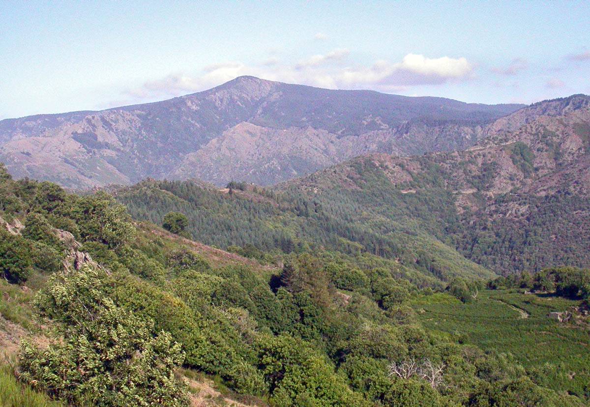 Photo: No machine-readable author provided. RobinL~commonswiki assumed (based on copyright claims)., CC BY-SA 2.5 (via Wikimedia Commons)
Mont Aigoual
Next door
RIDE
Descente de Meyrueis
~3 min drive
 Photo: Havang(nl), CC0 (via Wikimedia Commons)
Le Val de l'Arre
~15 min drive
SEE
Gîte d’étape réservé aux randonneurs
~16 min drive
SEE
Aire de la Roque
~21 min drive
Conditions and forecast
Daily highs and lows, wind and the chance of precipitation at Sentier des 4000 Marches for the next 7 days, from the Open-Meteo model.
Map and trail data © OpenStreetMap contributors
