Tahal – Senes
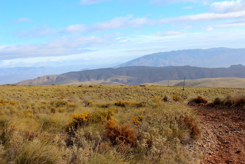
 Photo: Eduardo Milla, CC BY-SA 4.0 (via Wikimedia Commons)
- 7.9 mi
- one way
- 1,965 ft
- climb
- 5,000 ft
- high point
- Point to point
- route
Tahal – Senes is a 7.9-mile point-to-point route in Andalusia, Spain. It runs between about 3,290 ft and 5,000 ft above sea level, with roughly 1,970 ft of climbing one way. It is mapped as a named hiking route, with the sections joined into one trail here. It is on the edge of Tahal. Peaks within about 3 miles include Cerro de la Escuela, Cerro de las Viñas and Cerro Mortero. There are 2 other mapped trails within about 3 miles, so you can combine or extend the outing. Distances, elevations and the route shape here come from OpenStreetMap and the Copernicus 90 m elevation model. Trails, access rules and conditions change, so check locally before you go.
Conditions and forecast
Daily highs and lows, wind and the chance of precipitation at Tahal – Senes for the next 7 days, from the Open-Meteo model.
 Sierro por BoyarqueHiking · ~15 min drivePhoto: Ismael Olea, CC BY 4.0 (via Wikimedia Commons)
- goat-pathHiking · ~19 min drive
- Tartera al ColladoHiking · ~59 min drive
- Puerta Verde de Roquetas de MarHiking · ~60 min drive
 Lucainena de las Torres – Uleila del CampoHiking · ~23 min drivePhoto: Eduardo Milla, CC BY-SA 4.0 (via Wikimedia Commons)
- Sendero de FloranesHiking · ~48 min drive
- Vereda de Sierra Nevada o de las CabañuelasHiking · ~1h 6m drive
 Turrillas - Las CucasHiking · ~24 min drivePhoto: Carlosjvives, CC BY-SA 4.0 (via Wikimedia Commons)
 Cortijo Los Góngoras – NíjarHiking · ~32 min drivePhoto: agracier - NO VIEWS, CC BY-SA 3.0 (via Wikimedia Commons)
 La Peseta - Camino de EnixHiking · ~50 min drivePhoto: CasuarioAlmeriense, CC BY-SA 4.0 (via Wikimedia Commons)


Map and trail data © OpenStreetMap contributors
