Cortijo Los Góngoras – Níjar
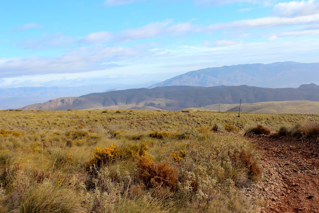
 Photo: agracier - NO VIEWS, CC BY-SA 3.0 (via Wikimedia Commons)
- 17.7 mi
- one way
- 4,498 ft
- climb
- 4,280 ft
- high point
- Point to point
- route
Cortijo Los Góngoras – Níjar is a 18-mile point-to-point route in Andalusia, Spain. It runs between about 1,100 ft and 4,280 ft above sea level, with roughly 4,500 ft of climbing one way. It is mapped as a named hiking route, with the sections joined into one trail here. It is on the edge of Níjar. Peaks within about 3 miles include Cerrico Redondo, Cerro Negro and Cerro de la Higuera Blanca. Distances, elevations and the route shape here come from OpenStreetMap and the Copernicus 90 m elevation model. Trails, access rules and conditions change, so check locally before you go.
Conditions and forecast
Daily highs and lows, wind and the chance of precipitation at Cortijo Los Góngoras – Níjar for the next 7 days, from the Open-Meteo model.
 Lucainena de las Torres – Uleila del CampoHiking · ~9 min drivePhoto: Eduardo Milla, CC BY-SA 4.0 (via Wikimedia Commons)
- goat-pathHiking · ~20 min drive
- Tartera al ColladoHiking · ~27 min drive
- Puerta Verde de Roquetas de MarHiking · ~42 min drive
 Turrillas - Las CucasHiking · ~9 min drivePhoto: Carlosjvives, CC BY-SA 4.0 (via Wikimedia Commons)
- Sendero de FloranesHiking · ~1h 9m drive
- Vereda de Sierra Nevada o de las CabañuelasHiking · ~1h 14m drive
- Jorairátar – Las CanterasHiking · ~1h 19m drive
 Tahal – SenesHiking · ~32 min drivePhoto: Eduardo Milla, CC BY-SA 4.0 (via Wikimedia Commons)
 La Peseta - Camino de EnixHiking · ~34 min drivePhoto: CasuarioAlmeriense, CC BY-SA 4.0 (via Wikimedia Commons)

Map and trail data © OpenStreetMap contributors
