Ultimo espacio para acampar
A campground in Pichincha, Ecuador.
- At 13,757 ftHigh camp: expect cold nights, even in summer
Ultimo espacio para acampar is a campground in Pichincha, Ecuador, at about 13,760 ft above sea level. Trails within about a mile include Ruta Sincholagua. The nearest town is Rumipamba, about 8.4 miles south of the campground. Peaks within about 3 miles include Sincholahua, Cerro Soldado Machay and Bosque Sincholagua Camping. Cascada Río Pita is within about 3 miles. For camping, Campamento 3 Ruta del Condor and Secret Garden Cotopaxi are within about 6 miles. The location and elevation come from OpenStreetMap and the Copernicus 90 m elevation model. Check local access rules and conditions before you go.
Make it a trip
Roamze builds the days around this campground: where to sleep, where to eat after, what to do if it rains. You change anything.
Keep exploring — more campsites worth the drive
 Photo: M Blissett, CC BY-SA 4.0 (via Wikimedia Commons)
Secret Garden Cotopaxi
~11 min drive
A campground in Pichincha, Ecuador.
El Vallecito
~12 min drive
A campground in Pichincha, Ecuador.
tambo de guayara
~23 min drive
A campground in Pichincha, Ecuador.
Complejo de radio control Miraflores HOBBY STORE ECUADOR
~25 min drive
A campground in Pichincha, Ecuador.
Cuello de Luna Campground
~29 min drive
A campground in Cotopaxi, Ecuador.
Campamento Nueva Vida
~30 min drive
A campground in Pichincha, Ecuador.
Parque España
~38 min drive
A campground in Pichincha, Ecuador.
CoDa Vista
~38 min drive
A campground in Pichincha, Ecuador.
Laguna Parcacocha
~39 min drive
A campground in Tungurahua, Ecuador.
Tía Sonia
~40 min drive
A campground in Pichincha, Ecuador.
Also worth it near here
Cascada Río Pita
~4 min drive
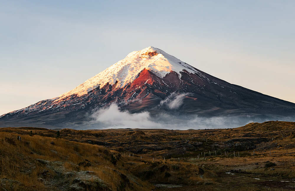 Photo: camilogaleano.com, CC BY-SA 4.0 (via Wikimedia Commons)
Cotopaxi: Normal Route (José Rivas hut)
~14 min drive
 Photo: Gerard Prins, CC BY-SA 3.0 (via Wikimedia Commons)
Rumiñahui
~14 min drive
 Photo: David Ceballos from Quito, España, CC BY 2.0 (via Wikimedia Commons)
Sendero Cumbre Rucu Pichincha
~49 min drive
Conditions and forecast
Daily highs and lows, wind and the chance of precipitation at Ultimo espacio para acampar for the next 7 days, from the Open-Meteo model.
Map and trail data © OpenStreetMap contributors
