Secret Garden Cotopaxi
A campground in Pichincha, Ecuador.
 Photo: M Blissett, CC BY-SA 4.0 (via Wikimedia Commons)
- At 11,267 ftHigh camp: expect cold nights, even in summer
Secret Garden Cotopaxi is a campground in Pichincha, Ecuador, at about 11,270 ft above sea level. OpenStreetMap lists toilets, drinking water, showers and electric hookups. The nearest town is Santa Rosa de los Molinos, about 5.5 miles east of the campground. Peaks within about 3 miles include Pasochoa West, Pasochoa and Pasochoa 2. Cascada de Fuego and Cascada Cóndor Machay are within about 3 miles. For camping, Campamento del Pasochoa and El Vallecito are within about 6 miles. The location and elevation come from OpenStreetMap and the Copernicus 90 m elevation model. Check local access rules and conditions before you go.
Make it a trip
Roamze builds the days around this campground: where to sleep, where to eat after, what to do if it rains. You change anything.
Keep exploring — more campsites worth the drive
Complejo de radio control Miraflores HOBBY STORE ECUADOR
~14 min drive
A campground in Pichincha, Ecuador.
Cuello de Luna Campground
~27 min drive
A campground in Cotopaxi, Ecuador.
Parque España
~30 min drive
A campground in Pichincha, Ecuador.
CoDa Vista
~31 min drive
A campground in Pichincha, Ecuador.
Tía Sonia
~31 min drive
A campground in Pichincha, Ecuador.
COMANDO CONJUNTO DE LAS FF.AA
~32 min drive
A campground in Pichincha, Ecuador.
ZONA CAMPING
~33 min drive
A campground in Pichincha, Ecuador.
AREA DE DESCANSO
~33 min drive
An informal camping spot in Pichincha, Ecuador.
Hostal Zentrum
~36 min drive
An informal camping spot in Pichincha, Ecuador.
FONAG
~38 min drive
A campground in Pichincha, Ecuador.
Also worth it near here
 Photo: Diegoandrade, CC BY-SA 4.0 (via Wikimedia Commons)
Pasochoa 2
~5 min drive
Cascada Cóndor Machay
~5 min drive
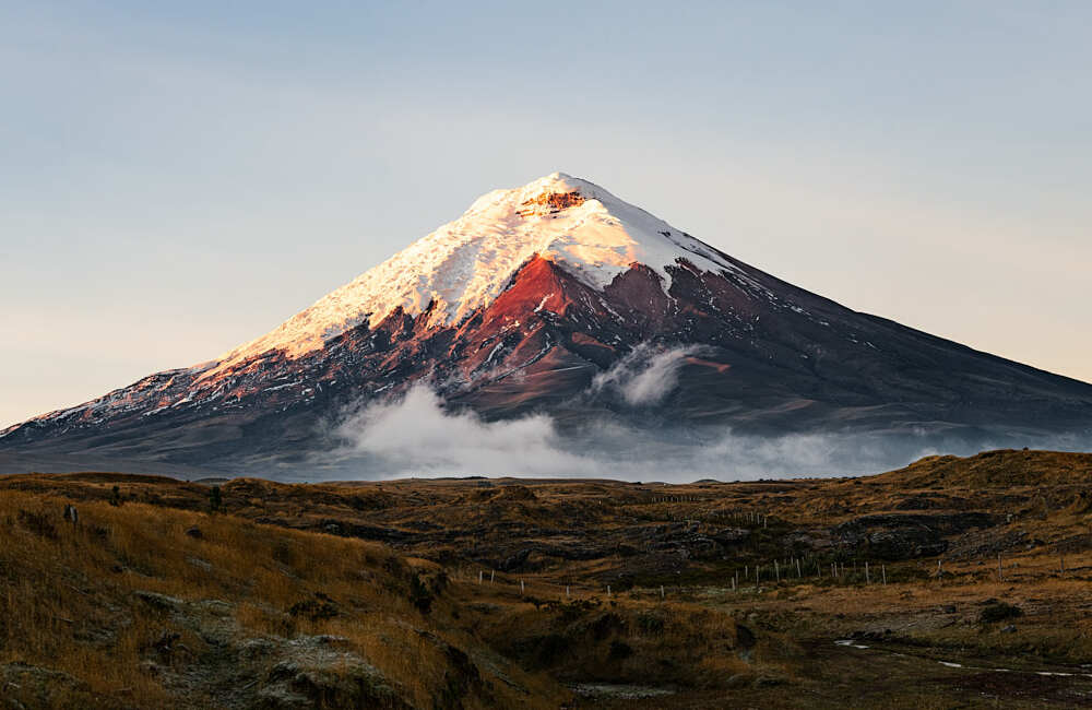 Photo: camilogaleano.com, CC BY-SA 4.0 (via Wikimedia Commons)
Cotopaxi: Normal Route (José Rivas hut)
~19 min drive
 Photo: David Ceballos from Quito, España, CC BY 2.0 (via Wikimedia Commons)
Sendero Cumbre Rucu Pichincha
~41 min drive
Conditions and forecast
Daily highs and lows, wind and the chance of precipitation at Secret Garden Cotopaxi for the next 7 days, from the Open-Meteo model.
Map and trail data © OpenStreetMap contributors
