Los llinisas
A campground in Cotopaxi, Ecuador.
- At 11,478 ftHigh camp: expect cold nights, even in summer
Los llinisas is a campground in Cotopaxi, Ecuador, at about 11,480 ft above sea level. It is inside Reserva Ecológica Los Ilinizas. Trails within about a mile include Circuito Cráter Quilotoa 10.5 Km. The nearest town is Chugchilán, about 4.4 miles south of the campground. Peaks within about 3 miles include Quilotoa, Monte Juyende (3930) and Puntusurcu. Cascada Golondrina is within about 3 miles. For camping, Campamento Runa Wasi and Mirador camping are within about 6 miles. The location and elevation come from OpenStreetMap and the Copernicus 90 m elevation model. Check local access rules and conditions before you go.
Keep exploring — more campsites worth the drive
 Photo: M Blissett, CC BY-SA 4.0 (via Wikimedia Commons)
Secret Garden Cotopaxi
~1h 7m drive
A campground in Pichincha, Ecuador.
 Photo: DIOHER_PAVAL, CC BY 3.0 (via Wikimedia Commons)
Centro Turistico Quillan
~1h 1m drive
A campground in Napo, Ecuador.
Campamento Runa Wasi
~1 min drive
A campground in Cotopaxi, Ecuador.
Mirador camping
~2 min drive
A campground in Cotopaxi, Ecuador.
Camping spot (no facilities)
~6 min drive
A campground in Cotopaxi, Ecuador.
Golden Travelers
~9 min drive
A campground in Cotopaxi, Ecuador.
Camping Arla
~9 min drive
A campground in Cotopaxi, Ecuador.
Campamento en el techo
~13 min drive
A campground in Cotopaxi, Ecuador.
Campamento Gratis
~13 min drive
A campground in Cotopaxi, Ecuador.
Camping Area Starlight Inn
~19 min drive
A campground in Cotopaxi, Ecuador.
Also worth it near here
 Photo: Stitched by Seattle Skier, photos by Martini, CC BY-SA 3.0 (via Wikimedia Commons)
Quilotoa
~1 min drive
Cascada Golondrina
~4 min drive
Ruta Hacia La Laguna
~34 min drive
CANTAPEZ
~34 min drive
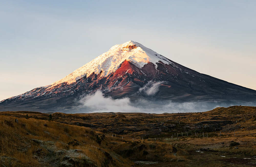 Photo: camilogaleano.com, CC BY-SA 4.0 (via Wikimedia Commons)
Cotopaxi: Normal Route (José Rivas hut)
~1h 1m drive
Conditions and forecast
Daily highs and lows, wind and the chance of precipitation at Los llinisas for the next 7 days, from the Open-Meteo model.
Map and trail data © OpenStreetMap contributors
