Rauhenstein
 Photo: Wasquewhat, CC BY 4.0 (via Wikimedia Commons)
- 5,669 ft
- summit
Rauhenstein is a mountain in Bavaria, Germany, with its summit at about 5,670 ft (1,728 m) above sea level. It stands inside Naturschutzgebiet Ammergebirge. No mapped trail reaches the top in OpenStreetMap, so plan the approach with local maps or a guide. The nearest town is Grainau, about 2.4 miles northwest of the summit. Peaks within about 3 miles include Rauheck, Jakelberger Köpfel and Hoher Ziegspitz. 5 is within about 3 miles. For camping, Camping Erlebnis Zugspitze and Camping Resort Zugspitze are within about 6 miles. The location and elevation come from OpenStreetMap and the Copernicus 90 m elevation model. Check local access rules and conditions before you go.
Conditions and forecast
Daily highs and lows, wind and the chance of precipitation at the summit for the next 7 days, from the Open-Meteo model.
- Summit elevation
- 5,669 ft
We don't know of a mapped trail or route to the summit of Rauhenstein. Plan the approach with local maps, a guidebook or a local guide, and check conditions before you go.
Questions about Rauhenstein
How tall is Rauhenstein?
5,669 ft (1,728 m).
Is there a trail to the top of Rauhenstein?
We don't know of a mapped trail or route to the summit. Plan the approach with local maps, a guidebook or a local guide.
 Zugspitze9,718 ft · Tyrol, Austria1 route5.2 mi awayPhoto: Tuxyso, CC BY-SA 4.0 (via Wikimedia Commons)
 Wildspitze12,362 ft · Tyrol, Austria1 route43 mi awayPhoto: Pirmin Olde Weghuis, CC BY-SA 3.0 (via Wikimedia Commons)
 Großvenediger11,998 ft · Salzburg, Austria1 route69 mi awayPhoto: Jörg Braukmann, CC BY-SA 4.0 (via Wikimedia Commons)
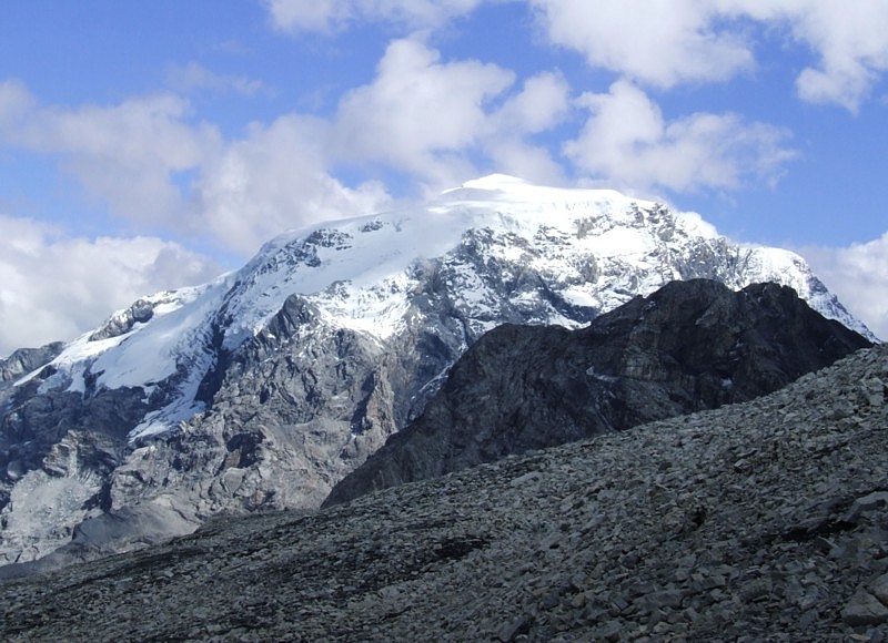 Ortler12,812 ft · Trentino-South Tyrol, Italy1 route71 mi awayPhoto: No machine-readable author provided. Idéfix~commonswiki assumed (based on copyright claims)., CC BY-SA 3.0 (via Wikimedia Commons)
 Piz Boè10,341 ft · Trentino-South Tyrol, Italy1 route79 mi awayPhoto: kallerna, CC BY-SA 4.0 (via Wikimedia Commons)
 Grossglockner12,461 ft · Carinthia, Austria1 route85 mi awayPhoto: DennisPeeters, Public domain (via Wikimedia Commons)
Map and trail data © OpenStreetMap contributors
