Falkenstein
- 3,550 ft
- summit
Falkenstein is a mountain in Bavaria, Germany, with its summit at about 3,550 ft (1,082 m) above sea level. It stands inside Naturschutzgebiet Ammergebirge. Mapped trails that come within about half a mile of the top include Maurersteig, Prälatensteig and Kellerleitensteig. The nearest town is Garmisch-Partenkirchen, about 1.7 miles northwest of the summit. Peaks within about 3 miles include Königsstand, Katzenkopf and Mittergernnadel. Unterer Kuhfluchtwasserfall and Mittlerer Kuhfluchtwasserfall are within about 3 miles. For camping, Camping Erlebnis Zugspitze and Camping Resort Zugspitze are within about 6 miles. The location and elevation come from OpenStreetMap and the Copernicus 90 m elevation model. Check local access rules and conditions before you go.
Conditions and forecast
Daily highs and lows, wind and the chance of precipitation at the summit for the next 7 days, from the Open-Meteo model.
- Summit elevation
- 3,550 ft
We don't know of a mapped trail or route to the summit of Falkenstein. Plan the approach with local maps, a guidebook or a local guide, and check conditions before you go.
Questions about Falkenstein
How tall is Falkenstein?
3,550 ft (1,082 m).
Is there a trail to the top of Falkenstein?
We don't know of a mapped trail or route to the summit. Plan the approach with local maps, a guidebook or a local guide.
 Zugspitze9,718 ft · Tyrol, Austria1 route7.6 mi awayPhoto: Tuxyso, CC BY-SA 4.0 (via Wikimedia Commons)
 Wildspitze12,362 ft · Tyrol, Austria1 route44 mi awayPhoto: Pirmin Olde Weghuis, CC BY-SA 3.0 (via Wikimedia Commons)
 Großvenediger11,998 ft · Salzburg, Austria1 route66 mi awayPhoto: Jörg Braukmann, CC BY-SA 4.0 (via Wikimedia Commons)
 Ortler12,812 ft · Trentino-South Tyrol, Italy1 route74 mi awayPhoto: No machine-readable author provided. Idéfix~commonswiki assumed (based on copyright claims)., CC BY-SA 3.0 (via Wikimedia Commons)
 Piz Boè10,341 ft · Trentino-South Tyrol, Italy1 route78 mi awayPhoto: kallerna, CC BY-SA 4.0 (via Wikimedia Commons)
 Grossglockner12,461 ft · Carinthia, Austria1 route82 mi awayPhoto: DennisPeeters, Public domain (via Wikimedia Commons)
 KönigsstandSummit · Next doorPhoto: Wasquewhat, CC BY-SA 3.0 (via Wikimedia Commons)
 SchafkopfSummit · ~4 min drivePhoto: Ricardalovesmonuments, CC BY 4.0 (via Wikimedia Commons)
 Vorderer FelderkopfSummit · ~4 min drivePhoto: Germany-Farchant-Landscape.JPG: Rado Bahna
derivative work: Svíčková, CC BY-SA 3.0 (via Wikimedia Commons)
 Auf der LacheSummit · ~5 min drivePhoto: Ricardalovesmonuments, CC BY 4.0 (via Wikimedia Commons)
 HirschbichelSummit · ~5 min drivePhoto: Kogo, CC BY-SA 3.0 (via Wikimedia Commons)
 ZiegelspitzSummit · ~5 min drivePhoto: Bjs, CC0 (via Wikimedia Commons)
 OchsensitzSummit · ~5 min drivePhoto: Bjs, CC0 (via Wikimedia Commons)
 KrottenköpfelSummit · ~5 min drivePhoto: Wasquewhat, CC BY 4.0 (via Wikimedia Commons)
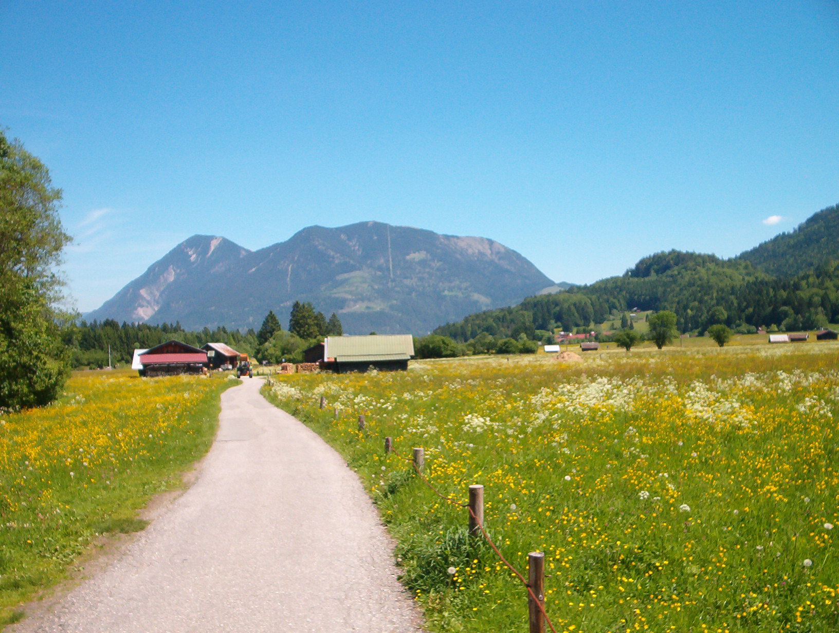 WankSummit · ~5 min drivePhoto: No machine-readable author provided. Baumst~commonswiki assumed (based on copyright claims)., CC BY-SA 3.0 (via Wikimedia Commons)
 Hoher FrickenSummit · ~7 min drivePhoto: Wasquewhat, CC BY-SA 4.0 (via Wikimedia Commons)
Also worth it near here


Map and trail data © OpenStreetMap contributors
