Trail to Bortelhorn
- 1.6 mi
- round trip
- 2,612 ft
- climb
- 9,691 ft
- high point
- Out and back
- route
The Trail to Bortelhorn is a hard out-and-back hike in Valais, Switzerland, about 5.4 miles from the town of Brig. The route is roughly 3.1 miles long, and the one-way climb gains about 2,494 feet, with the high point of the trail reaching 9,691 feet. The Bortelhütten hut sits just 0.2 miles from the trail, making it the natural base for an overnight stay. The Seewjihorn and Punta del Rebbio summits both lie about 1.4 miles away, and the Gibjeriweg is a hike of about 1.5 miles nearby. For anyone looking to extend the day, the Talweg Ganter mountain biking trail is about 2.3 miles away, and the Landschaftspark Binntal park is about 5.7 miles from the trail.
Keep exploring — more trails worth the drive
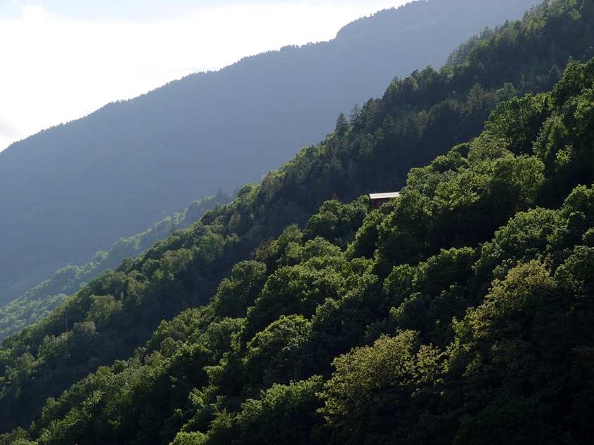 Photo: Frans-Banja Mulder, CC BY 3.0 (via Wikimedia Commons)
Bettmeralp Singletrail
~10 min drive
A 0.4-mile point-to-point route in Valais, Switzerland.
 Photo: JoachimKohler-HB, CC BY-SA 4.0 (via Wikimedia Commons)
Moränenweg
~12 min drive
An out-and-back trail, 0.5 miles each way (0.9 miles round trip) in Valais, Switzerland.
HIKE
Massaweg
~9 min drive
A 5.1-mile point-to-point route in Valais, Switzerland.
HIKE
Alpe Veglia (Cornu) – Alpe Devero
~11 min drive
A 8.6-mile point-to-point route in Piedmont, Italy.
HIKE
Gibjeriweg
~3 min drive
A 1.4-mile point-to-point route in Valais, Switzerland.
HIKE
Hennebique - Kanal
~8 min drive
A 0.6-mile point-to-point route in Valais, Switzerland.
HIKE
Italienweg
~10 min drive
A 3.4-mile point-to-point route in Piedmont, Italy.
HIKE
Via Alpina Blue D3
~13 min drive
A 5.8-mile point-to-point route in Valais, Switzerland.
HIKE
Ritterpassweg
~8 min drive
A 0.6-mile point-to-point route in Valais, Switzerland.
HIKE
Hohe Gasse
~11 min drive
A 0.5-mile point-to-point route in Valais, Switzerland.
Also worth it near here
 Photo: Björn S..., CC BY-SA 2.0 (via Wikimedia Commons)
Seewjihorn
~2 min drive
RIDE
Talweg Ganter
~4 min drive
 Photo: Woudloper, Public domain (via Wikimedia Commons)
Monte Leone-Hütte
~4 min drive
 Photo: Civvì, CC BY-SA 4.0 (via Wikimedia Commons)
Cascata della Frua
~5 min drive
SKI
Ski alp Monte Teggiolo
~8 min drive
Conditions and forecast
Daily highs and lows, wind and the chance of precipitation at Trail to Bortelhorn for the next 7 days, from the Open-Meteo model.
Map and trail data © OpenStreetMap contributors
