Ski alp Monte Teggiolo
- 8.5 mi
- round trip
- 4,761 ft
- climb
- 7,760 ft
- high point
- Out and back
- route
Ski alp Monte Teggiolo is an out-and-back ski touring route in Piedmont, Italy. It is 4.2 miles each way, 8.5 miles there and back. It runs between about 4,330 ft and 7,760 ft above sea level, with roughly 4,100 ft of climbing one way. It is mapped as a hard route. The nearest town is Trasquera, about 3.4 miles northwest of the start. Peaks within about 3 miles include Punta Maror, Pizzo Foralo and Pizzo Valgrande. Cascata della Frua is within about 3 miles. For camping, Ponte Campo Scout Camping Area and Camping Alpe Devero are within about 6 miles. There are 7 other mapped trails within about 3 miles, so you can combine or extend the outing. Distances, elevations and the route shape here come from OpenStreetMap and the Copernicus 90 m elevation model. Ski touring crosses avalanche terrain: read the local avalanche bulletin and carry beacon, shovel and probe.
Keep exploring — more snow worth the drive
 Photo: Staublex, CC BY-SA 4.0 (via Wikimedia Commons)
Lämmerenhütte zum Wildstrubel
~52 min drive
An out-and-back ski touring route in Valais, Switzerland.
 Photo: Paul Stephenson from London, CC BY 2.0 (via Wikimedia Commons)
Loipe Bidmi
~59 min drive
A 0.7-mile cross-country ski trail that makes a loop in Bern, Switzerland.
 Photo: Pampuco, CC BY-SA 4.0 (via Wikimedia Commons)
Zube
~52 min drive
An out-and-back ski touring route in Piedmont, Italy.
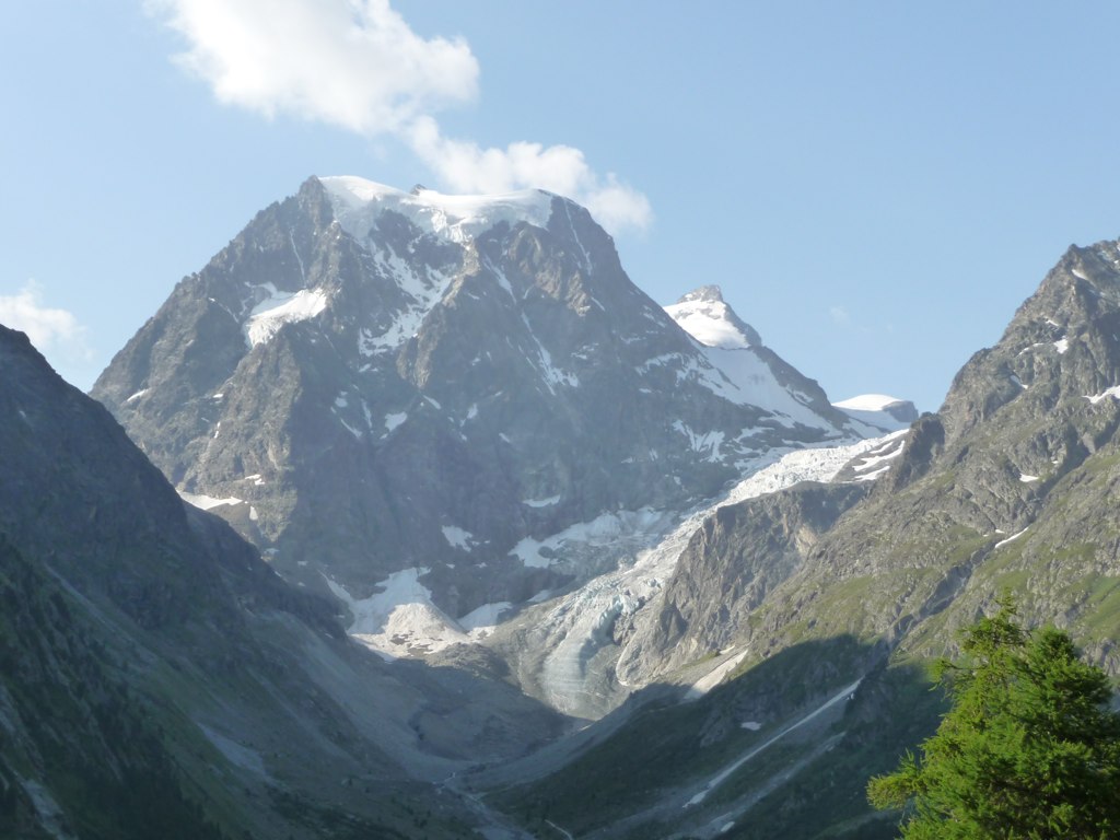 Photo: Patrick Nouhailler from Genève, Suisse, CC BY-SA 2.0 (via Wikimedia Commons)
Arolla - Usine
~1h 3m drive
A 1.7-mile cross-country ski trail that makes a loop in Valais, Switzerland.
Festigletscher
~33 min drive
An out-and-back ski touring route in Valais, Switzerland.
Langlaufloipe Simplonpass
~13 min drive
A 1.4-mile cross-country ski trail that makes a loop in Valais, Switzerland.
 Photo: Henk Monster, CC BY 3.0 (via Wikimedia Commons)
Prés d'Evolène
~58 min drive
An out-and-back cross-country ski trail in Valais, Switzerland.
 Photo: Stefanacci, CC0 (via Wikimedia Commons)
Pramousse - La Monta - Arolla
~1h 2m drive
An out-and-back cross-country ski trail in Valais, Switzerland.
Skialp Pizzo Diei
~5 min drive
An out-and-back ski touring route in Piedmont, Italy.
Skialp Ciamporino-Costa
~2 min drive
An out-and-back ski touring route in Piedmont, Italy.
Also worth it near here
Sentiero dei fiori - Grande Traversata delle Alpi
~2 min drive
 Photo: Pampuco, CC BY-SA 4.0 (via Wikimedia Commons)
Punta Salarioli
~3 min drive
 Photo: Civvì, CC BY-SA 4.0 (via Wikimedia Commons)
Cascata della Frua
~3 min drive
Veia di Bröcc
~7 min drive
 Photo: Woudloper, Public domain (via Wikimedia Commons)
Monte Leone-Hütte
~7 min drive
Conditions and forecast
Daily highs and lows, wind and the chance of precipitation at Ski alp Monte Teggiolo for the next 7 days, from the Open-Meteo model.
Map and trail data © OpenStreetMap contributors
