Corno di Gesero
- 7,306 ft
- summit
Corno di Gesero is a mountain in Ticino, Switzerland, with its summit at about 7,310 ft (2,227 m) above sea level. Mapped trails that come within about half a mile of the top include Sentee de Cugn. The nearest town is Roveredo GR, about 3.4 miles south of the summit. Peaks within about 3 miles include Mot della Cros, Cima delle Cicogne, WSW and Cima delle Cicogne, ESE. For camping, Camping Bellinzona is within about 6 miles. Its topographic prominence, the height it rises above the lowest col linking it to higher ground, is about 600 ft (182 m). These details come from Wikidata. In a typical July, the warmest month, highs reach about 59°F (15°C) and lows about 40°F (4°C); in January, the coldest, highs are about 25°F (-4°C) and lows about 9°F (-13°C). Precipitation falls on about 18 days in May, the wettest month, and about 13 days in January, the driest. These typical figures for 1981–2010 come from the CHELSA 1 km climate model and CRU TS 4.09. The location and elevation come from OpenStreetMap and the Copernicus 90 m elevation model. Check local access rules and conditions before you go.
Conditions and forecast
Daily highs and lows, wind and the chance of precipitation at the summit for the next 7 days, from the Open-Meteo model.
- Summit elevation
- 7,306 ft
We don't know of a mapped trail or route to the summit of Corno di Gesero. Plan the approach with local maps, a guidebook or a local guide, and check conditions before you go.
Questions about Corno di Gesero
How tall is Corno di Gesero?
7,306 ft (2,227 m).
Is there a trail to the top of Corno di Gesero?
We don't know of a mapped trail or route to the summit. Plan the approach with local maps, a guidebook or a local guide.
 Rheinwaldhorn11,161 ft · Grisons, Switzerland1 route22 mi awayPhoto: Werner Friedli, CC BY-SA 4.0 (via Wikimedia Commons)
 Piz Bernina13,281 ft · Grisons, Switzerland1 route40 mi awayPhoto: Günter Seggebäing, CC BY-SA 3.0 (via Wikimedia Commons)
 Tödi11,850 ft · Glarus, Switzerland1 route44 mi awayPhoto: Carsten Steger, CC BY-SA 4.0 (via Wikimedia Commons)
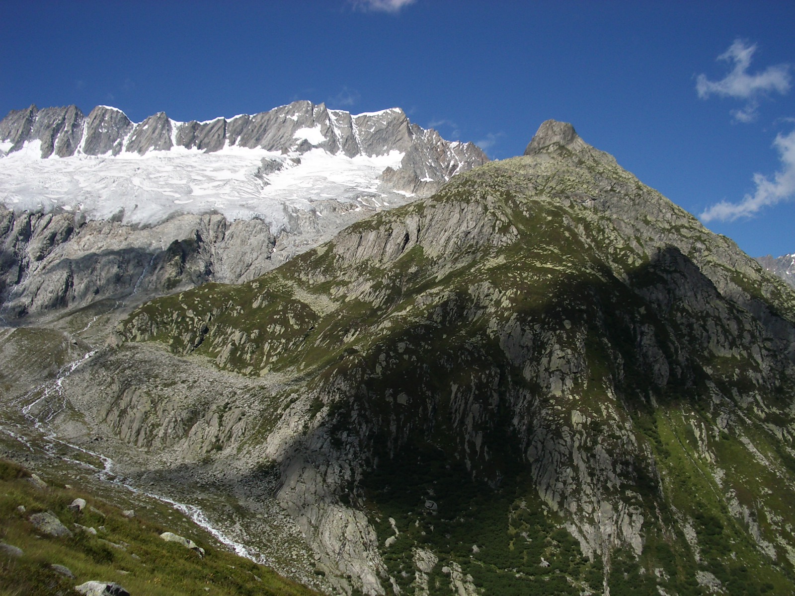 Dammastock11,909 ft · Uri, Switzerland1 route46 mi awayPhoto: Paebi, CC BY-SA 3.0 (via Wikimedia Commons)
 Weissmies13,166 ft · Valais, Switzerland1 route54 mi awayPhoto: Michael Schmid, CC BY-SA 3.0 (via Wikimedia Commons)
 Jungfrau13,642 ft · Valais, Switzerland1 route61 mi awayPhoto: Daniel Reust, CC BY-SA 4.0 (via Wikimedia Commons)
- Nuova Capanna Gesero in località Biscia m.2003Hut camping0.5 mi
 Capanna GeseroHut campingPhoto: Paebi, CC BY-SA 4.0 (via Wikimedia Commons)0.6 mi
- Sentee de CugnHiking0.6 mi
- Cugn - AlbionascaHiking1.1 mi
 Motto d'ArbinoSummitPhoto: Uwelino, CC BY-SA 4.0 (via Wikimedia Commons)2.8 mi
 Cima dello StagnSummitPhoto: Claudio Vosti, CC BY-SA 2.0 (via Wikimedia Commons)3.7 mi
 Spiaggietta di ArbedoBeachPhoto: NAC, CC BY-SA 4.0 (via Wikimedia Commons)5 mi
 Cascata di SementinaWaterfallPhoto: Uwelino, CC BY-SA 4.0 (via Wikimedia Commons)7.4 mi
Source: Roamze catalog (indexable pages within 10 miles, PostGIS distance)
- Motto d'ArbinoSummit · ~5 min drivePhoto: Uwelino, CC BY-SA 4.0 (via Wikimedia Commons)
- Cima dello StagnSummit · ~6 min drivePhoto: Claudio Vosti, CC BY-SA 2.0 (via Wikimedia Commons)
 Motto della CroceSummit · ~7 min drivePhoto: Uwelino, CC BY-SA 4.0 (via Wikimedia Commons)
 Pizzo di GinoSummit · ~7 min drivePhoto: franco.
Original uploader was Kibira at it.wikipedia, Public domain (via Wikimedia Commons)
- Mot della CrosSummit · Next door
- Cima delle Cicogne, WSWSummit · ~1 min drive
- Cima delle Cicogne, ESESummit · ~1 min drive
- Corno di CadinSummit · ~1 min drive
- CadolciaSummit · ~1 min drive
- El GuardionSummit · ~2 min drive
Also worth it near here
- Capanna GeseroHut camping · Next doorPhoto: Paebi, CC BY-SA 4.0 (via Wikimedia Commons)
 Sentiero Val d'AlbionascaHiking · ~2 min drivePhoto: Oli, CC BY-SA 4.0 (via Wikimedia Commons)
 Downhill LuminoMountain biking · ~8 min drivePhoto: Clwacker, CC BY-SA 4.0 (via Wikimedia Commons)
- Camping BellinzonaCamping · ~8 min drive
- Spiaggietta di ArbedoBeach · ~8 min drivePhoto: NAC, CC BY-SA 4.0 (via Wikimedia Commons)
Best time to visit Corno di Gesero
No month here meets our mild-weather rule. Best months have typical highs of 55–85 °F, lows of 30 °F or warmer (32 °F where there's no snowfall data), at most one snowy day and no more than 12 wet days.
Jan
25° / 9°
13 wet
Feb
27° / 10°
13 wet
Mar
33° / 15°
15 wet
Apr
39° / 21°
17 wet
May
48° / 30°
18 wet
Jun
54° / 36°
17 wet
Jul
59° / 40°
17 wet
Aug
58° / 40°
17 wet
Sep
51° / 36°
15 wet
Oct
44° / 29°
14 wet
Nov
33° / 20°
15 wet
Dec
26° / 12°
14 wet
Typical high / low (°F) and days with rain or snow, 1981–2010. Modelled for the 1 km square this place sits in (average height 6,545 ft), not measured at a weather station. The square averages about 800 ft lower than this place, so expect it a little cooler here. Snowfall days aren't in this data. Source: CHELSA 1 km climate model (1981–2010) and CRU TS 4.09 wet days. Data: CHELSA V2.1 climatologies (Karger et al. 2017), WSL (CC0 1.0); CRU TS 4.09 (Harris et al. 2020), University of East Anglia Climatic Research Unit. Contains public sector information licensed under the Open Government Licence v3.0. (Open Government Licence v3.0).
Map and trail data © OpenStreetMap contributors
