Maroz Camp
A campground in Grisons, Switzerland.
- At 6,402 ft
Maroz Camp is a campground in Grisons, Switzerland, at about 6,400 ft above sea level. Trails within about a mile include Maroz Dent - Lagh da Cam and Piz Cam - Cresta N. The nearest town is Casaccia, about 2.0 miles west of the campground. Peaks within about 3 miles include Pizzi di Maroz, Pizzo Lizun and Piz Mäder. For camping, Camping Mulina and Camping Bivio are within about 6 miles. The location and elevation come from OpenStreetMap and the Copernicus 90 m elevation model. Check local access rules and conditions before you go.
Make it a trip
Roamze builds the days around this campground: where to sleep, where to eat after, what to do if it rains. You change anything.
Keep exploring — more campsites worth the drive
 Photo: Jag9889, CC BY-SA 4.0 (via Wikimedia Commons)
Camping Bivio
~9 min drive
A campground in Grisons, Switzerland.
 Photo: Jean-Louis Pitteloud, CC BY-SA 3.0 (via Wikimedia Commons)
Capanna da l'Albigna CAS
~8 min drive
A mountain hut in Grisons, Switzerland.
 Photo: Capricorn4049, CC BY-SA 4.0 (via Wikimedia Commons)
Cröt Sägeplatz
~15 min drive
A campground in Grisons, Switzerland.
 Photo: Coronium, CC BY-SA 3.0 (via Wikimedia Commons)
Capanna Sasc Furä
~10 min drive
A mountain hut in Grisons, Switzerland.
 Photo: FinlayCox143, CC BY-SA 3.0 (via Wikimedia Commons)
Silvaplana
~16 min drive
A campground in Grisons, Switzerland.
 Photo: Massimo Dei Cas, CC BY 3.0 (via Wikimedia Commons)
Rifugio Bonacossa
~13 min drive
A mountain hut in Lombardy, Italy.
 Photo: Hkmaly, CC BY-SA 4.0 (via Wikimedia Commons)
Camping Acquafraggia
~17 min drive
A campground in Lombardy, Italy.
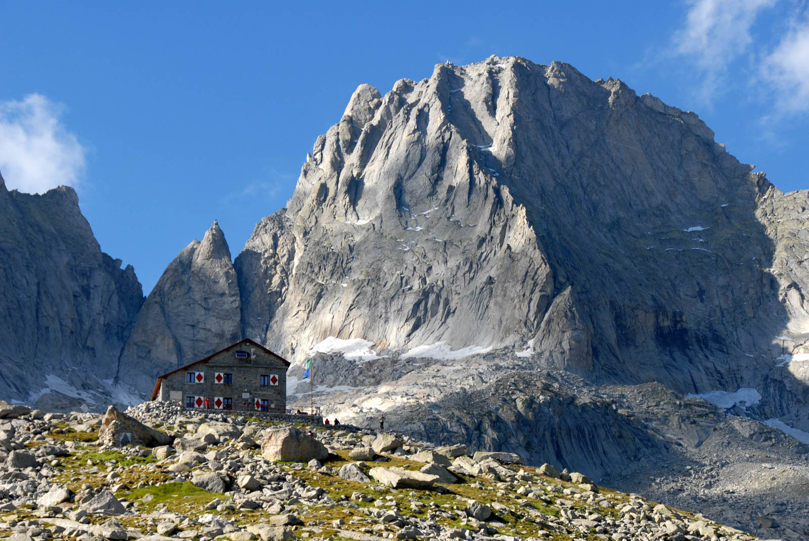 Photo: Ggambaro at English Wikipedia, CC BY-SA 3.0 (via Wikimedia Commons)
Rifugio Luigi Gianetti
~14 min drive
A mountain hut in Lombardy, Italy.
Camping Mulina
~4 min drive
A campground in Grisons, Switzerland.
 Photo: Schölla Schwarz, CC BY 3.0 (via Wikimedia Commons)
Rifugio Savogno
~16 min drive
A mountain hut in Lombardy, Italy.
Also worth it near here
 Photo: Schölla Schwarz, CC BY 3.0 (via Wikimedia Commons)
Pizzi di Maroz
~1 min drive
 Photo: Schölla Schwarz, CC BY 3.0 (via Wikimedia Commons)
Piz Cam - Cresta N
~2 min drive
Maloja Express MTB Trail
~5 min drive
 Photo: Capricorn4049, CC BY-SA 4.0 (via Wikimedia Commons)
Hinder Bergalga
~8 min drive
 Photo: Capricorn4049, CC BY-SA 4.0 (via Wikimedia Commons)
Bivio - Piz Scalotta
~9 min drive
Conditions and forecast
Daily highs and lows, wind and the chance of precipitation at Maroz Camp for the next 7 days, from the Open-Meteo model.
Map and trail data © OpenStreetMap contributors
