Höchfeldwaldweg
An out-and-back mountain bike trail in Bern, Switzerland.
- 1.5 mi
- round trip
- 538 ft
- climb
- Easy
- difficulty
- Dirt
- surface
Höchfeldwaldweg is an out-and-back mountain bike trail in Bern, Switzerland. It is 0.8 miles each way, 1.5 miles there and back. It runs between about 1,760 ft and 1,950 ft above sea level, with roughly 300 ft of climbing one way. It is rated easy for riding (mtb:scale 0): a smooth surface with no particular obstacles. Most of the way is dirt. The nearest town is Kirchberg BE, about 0.7 miles southeast of the start. Peaks within about 3 miles include Ruedisberg, Hüntu and Längeberg. For camping, Waldegg and Kürbishof Opplinger are within about 6 miles. There are 11 other mapped trails within about 3 miles, so you can combine or extend the outing. Distances, elevations and the trail shape here come from OpenStreetMap and the Copernicus 90 m elevation model. Trail access for bikes, closures and conditions change, so check locally before you ride.
Keep exploring — more rides worth the drive
 Photo: Pududuss, CC BY-SA 4.0 (via Wikimedia Commons)
Flowtrail Weissenstein
~21 min drive
An out-and-back mountain bike trail in Solothurn, Switzerland.
Tscheppachweg
~13 min drive
An out-and-back mountain bike trail in Solothurn, Switzerland.
Bärenried-Trail
~15 min drive
A 1.3-mile mountain bike trail in Bern, Switzerland.
Grenzweg
~15 min drive
An out-and-back mountain bike trail in Solothurn, Switzerland.
Clubwägli
~20 min drive
An out-and-back mountain bike trail in Solothurn, Switzerland.
Neu Stockweg
~23 min drive
An out-and-back mountain bike trail in Solothurn, Switzerland.
Unterer Stockweg
~22 min drive
An out-and-back mountain bike trail in Solothurn, Switzerland.
Bremerloop
~21 min drive
A 4.8-mile mountain bike trail that makes a loop in Bern, Switzerland.
ZäziLoop
~22 min drive
A 23-mile mountain bike trail in Bern, Switzerland.
Unterblüttiwägli
~22 min drive
An out-and-back mountain bike trail in Solothurn, Switzerland.
Also worth it near here
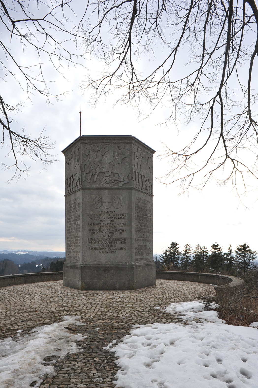 Photo: Хрюша, CC BY-SA 3.0 (via Wikimedia Commons)
Lueg
~9 min drive
Mutzbachfall
~11 min drive
 Photo: Gestumblindi, CC BY-SA 4.0 (via Wikimedia Commons)
Campingplatz Altreu
~18 min drive
 Photo: Hans-Rudolf Berner, CC BY-SA 4.0 (via Wikimedia Commons)
fixme - Rohrbach Bahnhof
~19 min drive
 Photo: Jag9889, CC BY-SA 4.0 (via Wikimedia Commons)
Aarekanal
~19 min drive
Conditions and forecast
Daily highs and lows, wind and the chance of precipitation at Höchfeldwaldweg for the next 7 days, from the Open-Meteo model.
Map and trail data © OpenStreetMap contributors
