fixme - Rohrbach Bahnhof
A 0.3-mile point-to-point route in Bern, Switzerland.
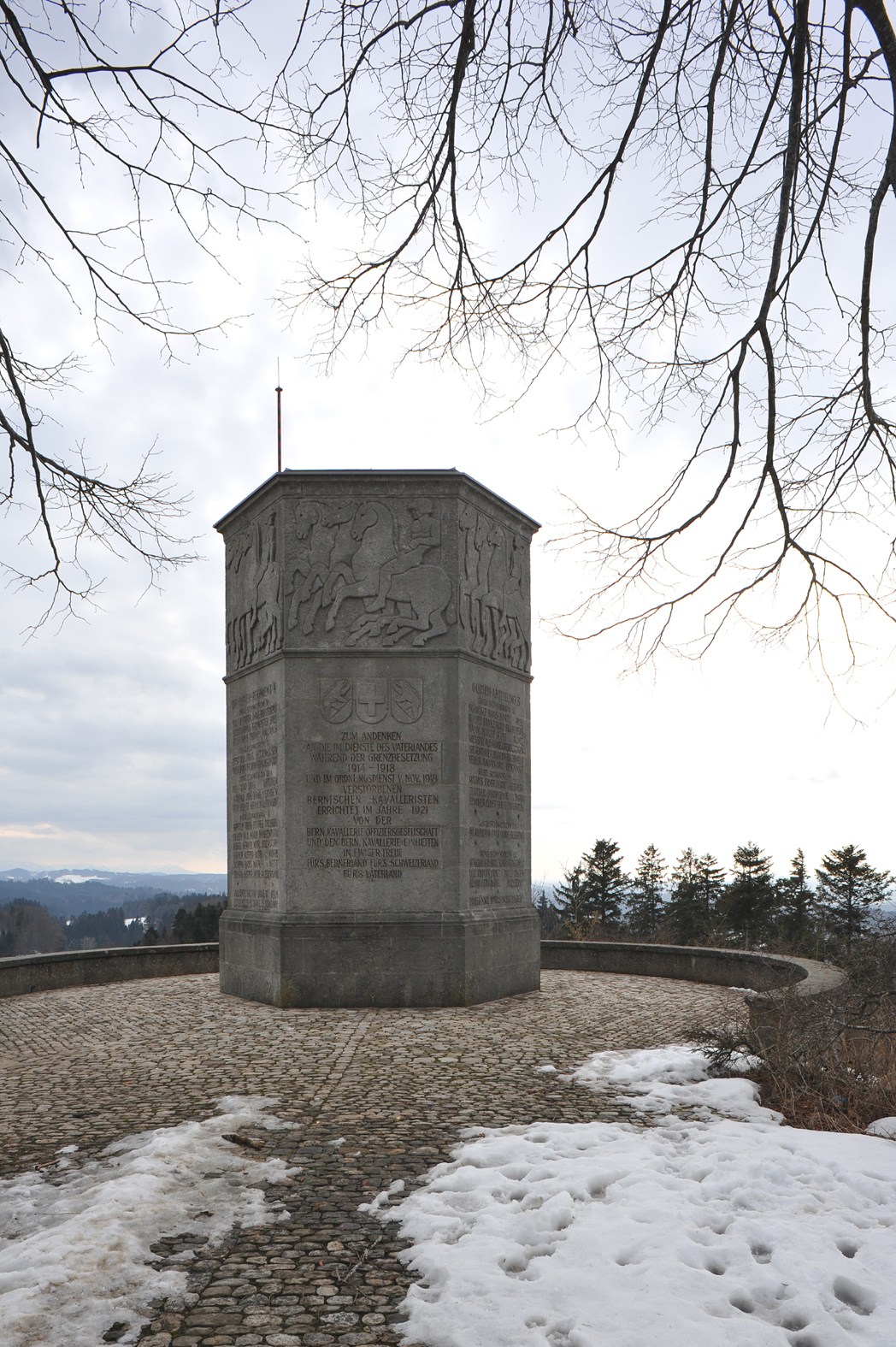
 Photo: Hans-Rudolf Berner, CC BY-SA 4.0 (via Wikimedia Commons)
- 0.3 mi
- one way
- 404 ft
- climb
- 2,301 ft
- high point
- Point to point
- route
fixme - Rohrbach Bahnhof is a 0.3-mile point-to-point route in Bern, Switzerland. It runs between about 1,930 ft and 2,300 ft above sea level, with roughly 400 ft of climbing one way. It is a well-made walking path, fine for most hikers. Most of the way is dirt. It is mapped as a named hiking route, with the sections joined into one trail here. It is on the edge of Rohrbach. Peaks within about 3 miles include Galgen, Hunzegütsch and Hochwacht. For camping, Campingplatz Zegro and Camping Zegro are within about 6 miles. Distances, elevations and the route shape here come from OpenStreetMap and the Copernicus 90 m elevation model. Trails, access rules and conditions change, so check locally before you go.
Make it a trip
Roamze builds the days around this trail: where to sleep, where to eat after, what to do if it rains. You change anything.
Keep exploring — more trails worth the drive
 Photo: Pududuss, CC BY-SA 4.0 (via Wikimedia Commons)
Stiegenlos
~27 min drive
A 0.4-mile point-to-point route in Solothurn, Switzerland.
ViaJacobi
~10 min drive
A 1.7-mile point-to-point route in Bern, Switzerland.
Gemspfad
~19 min drive
An out-and-back trail, 0.6 miles each way (1.1 miles round trip) in Bern, Switzerland.
Schacherütiweg
~19 min drive
An out-and-back trail, 1.1 miles each way (2.1 miles round trip) in Bern, Switzerland.
Alfred-Dür-Weg
~18 min drive
An out-and-back trail, 0.4 miles each way (0.8 miles round trip) in Bern, Switzerland.
Emmenweg
~21 min drive
An out-and-back trail, 0.8 miles each way (1.6 miles round trip) in Solothurn, Switzerland.
Zustieg Südgrat
~25 min drive
An out-and-back trail, 0.7 miles each way (1.5 miles round trip) in Solothurn, Switzerland.
Paradisliweg
~21 min drive
An out-and-back trail, 0.3 miles each way (0.7 miles round trip) in Solothurn, Switzerland.
Tüfelsschlucht
~23 min drive
A 0.9-mile point-to-point route in Solothurn, Switzerland.
Emmenuferweg - Etappe 3
~24 min drive
A 10.0-mile point-to-point route in Lucerne, Switzerland.

Conditions and forecast
Daily highs and lows, wind and the chance of precipitation at fixme - Rohrbach Bahnhof for the next 7 days, from the Open-Meteo model.
Map and trail data © OpenStreetMap contributors
