Le Lièvre d'Amérique
- 0.5 mi
- loop
- 46 ft
- climb
- 360 ft
- high point
- Loop
- route
Le Lièvre d'Amérique is a 0.5-mile loop in Quebec, Canada. It stays at about 360 ft above sea level and is close to flat. It is mapped as a named hiking route, with the sections joined into one trail here. The nearest town is Drummondville, about 2.9 miles southeast of the trailhead. For camping, Camping des Voltigeurs - Zone 5 and Camping des Voltigeurs - Zone 3 are within about 6 miles. There are 3 other mapped trails within about 3 miles, so you can combine or extend the outing. Distances, elevations and the route shape here come from OpenStreetMap and the Copernicus 90 m elevation model. Trails, access rules and conditions change, so check locally before you go.
Keep exploring — more trails worth the drive
 Photo: Mario Hains, CC BY-SA 3.0 (via Wikimedia Commons)
Le Campagnol
~1h 7m drive
0.6-mile out-and-back trail in New Hampshire with 218 ft elevation gain.
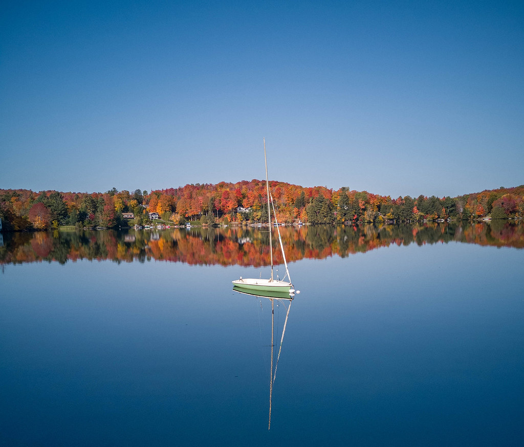 Photo: MCdeMtl, CC BY-SA 2.0 (via Flickr)
Sentier De L'estrie, Zone Orford
~1h 8m drive
A 22.96-mile point-to-point trail in New Hampshire's Orford zone, connecting to Pic de la Roche Fendue, L'Escalier du Nord, and Étang aux Cerises.
Le Renard Roux
~1 min drive
A 0.6-mile loop in Quebec, Canada.
Sentier De Florence
~1h 15m drive
An out-and-back trail, 0.3 miles each way (0.6 miles round trip) in Quebec, Canada.
Pic du Lynx
~1h 4m drive
An out-and-back trail, 1.2 miles each way (2.5 miles round trip) in Quebec, Canada.
Le Cerf de Virginie
~1 min drive
A 1.2-mile loop in Quebec, Canada.
Typha
~1h 17m drive
0.92-mile out-and-back trail in New Hampshire with 76 ft elevation gain.
M51 Panorama
~1h 10m drive
An out-and-back trail, 0.6 miles each way (1.2 miles round trip) in Quebec, Canada.
Sentier du Partage
~37 min drive
A 2.2-mile loop in Quebec, Canada.
Boucle Georges (Est)
~1h 21m drive
1.9-mile out-and-back trail in New Hampshire with 698 ft elevation gain.
Also worth it near here
 Photo: Hayden Soloviev, CC BY 4.0 (via Wikimedia Commons)
Mont Saint-Félix
~23 min drive
 Photo: Gabriel Picard, CC BY-SA 4.0 (via Wikimedia Commons)
Chutes de Roxton Falls
~34 min drive
Mise a eau, Baie-Du-Febvre
~44 min drive
Lambert
~46 min drive
 Photo: Mario Hains, CC BY-SA 3.0 (via Wikimedia Commons)
Camping et Parc Watopeka
~51 min drive
Conditions and forecast
Daily highs and lows, wind and the chance of precipitation at Le Lièvre d'Amérique for the next 7 days, from the Open-Meteo model.
Map and trail data © OpenStreetMap contributors
