Typha
- 0.5 mi
- round trip
- 76 ft
- climb
- Out and back
- route
- Easy
- difficulty
- Sep
- best months
Typha is a short, easy out-and-back hike in northern New Hampshire, just over half a mile from start to finish. The route begins and ends at 668 feet, with a back-loaded climb that peaks at 668 feet before the descent. That puts the entire trip on a slight elevation rise and fall of 76 feet, with the steepest stretch at about 0.09 miles into the hike. Late spring through early fall is the most comfortable time to go. Typical averages from a nearby weather station in Newport, Vermont, show July highs around 78°F and September highs near 69°F, with snow days common from November through March. The trail sits roughly 18 miles from Derby Line, Vermont. Within a few miles are cross-country ski trails at Les Épinettes and La Beaupré, and the Boucle Georges (Est) and Sentier Pic De Wippi hikes for those who want more walking.
- Les ÉpinettesCross-country skiing1.4 mi
- La BeaupréCross-country skiing1.4 mi
- La FalaiseCross-country skiing1.9 mi
- La MontéeCross-country skiing2 mi
- Boucle Georges (Est)Hiking2.4 mi
- Sentier Pic De WippiHiking2.5 mi
- BermudaHiking2.6 mi
- La CrocheCross-country skiing2.7 mi
Source: Roamze catalog (indexable pages within 10 miles, PostGIS distance)
 Le CampagnolHiking · ~16 min drivePhoto: Mario Hains, CC BY-SA 3.0 (via Wikimedia Commons)
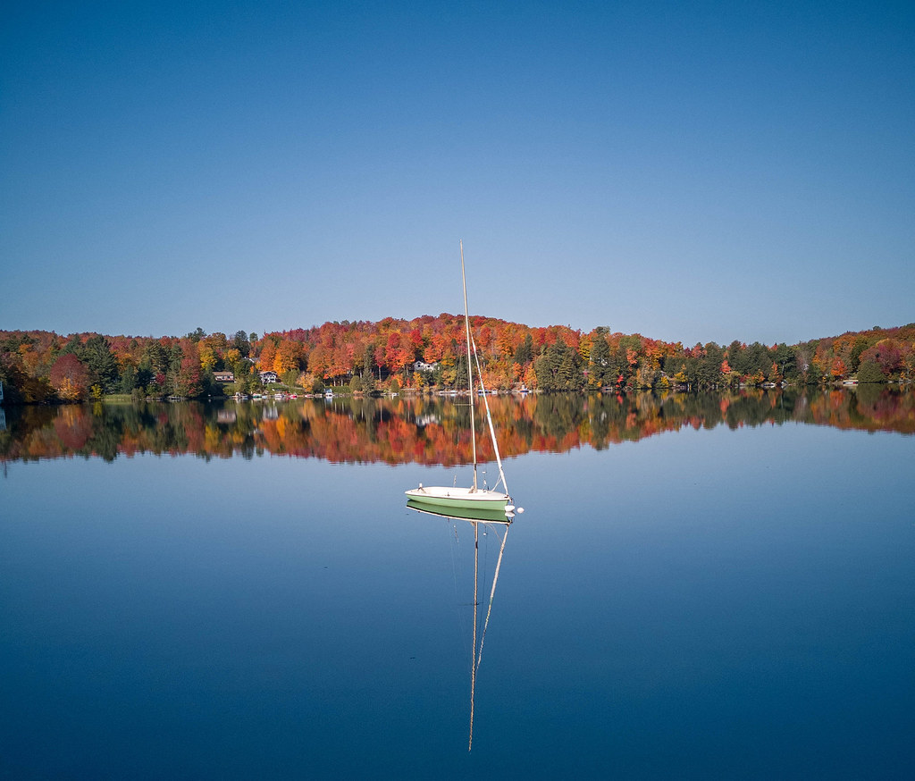 Sentier De L'estrie, Zone OrfordHiking · ~17 min drivePhoto: MCdeMtl, CC BY-SA 2.0 (via Flickr)
- Sentier du LynxHiking · ~16 min drive
- Gore Mountain TrailHiking · ~44 min drive
 Larry's LoopHiking · ~38 min drivePhoto: Roman Eugeniusz, CC BY-SA 3.0 (via Wikimedia Commons)
- Promenade BarbaraHiking · ~6 min drive
- Piste 3aHiking · ~18 min drive
- Middle Mountain TrailHiking · ~46 min drive
- Ridgehill ConnectorHiking · ~38 min drivePhoto: Roman Eugeniusz, CC BY-SA 3.0 (via Wikimedia Commons)
- Pic du LynxHiking · ~18 min drive
Also worth it near here
Best time to visit Typha
Best months: September. Best months have typical highs of 55–85 °F, lows of 30 °F or warmer (32 °F where the station doesn't record snow), at most one snowy day and no more than 12 wet days.
Jan
23° / 4°
17 wet · 14 snow
Feb
27° / 5°
14 wet · 11 snow
Mar
37° / 15°
14 wet · 8 snow
Apr
51° / 29°
13 wet · 3 snow
May
65° / 42°
14 wet
Jun
73° / 52°
15 wet
Jul
78° / 57°
15 wet
Aug
76° / 55°
13 wet
Sep
69° / 47°
12 wet
Oct
55° / 36°
15 wet · 1 snow
Nov
41° / 25°
15 wet · 5 snow
Dec
29° / 13°
17 wet · 12 snow
Typical high / low (°F) and days with rain or snow, 1991–2020. Measured at Newport, VT, 22.9 mi away at 790 ft. Source: NOAA NCEI U.S. Climate Normals 1991–2020.

Map and trail data © OpenStreetMap contributors
