La Verendrye Provincial Park
- Ontario Parks
- managed by
- May, Jul–Sep
- best months
La Verendrye Provincial Park is a protected natural area in Ontario, Canada, covering about 45,400 acres (184 km²). There are 1 mapped trails inside it, including Maraboeuf Lake Portage. Elevations inside the park range from about 1,450 ft to 1,460 ft. It was established in 1989. It is classed as a provincial park of Canada. It is managed as an IUCN category II protected area. It is managed by the Ontario Parks. Administratively, it is in Thunder Bay District. These details come from Wikidata. The boundary comes from OpenStreetMap. Check the park's own rules, fees and opening hours before you go.
Conditions and forecast
Daily highs and lows, wind and the chance of precipitation at La Verendrye Provincial Park for the next 7 days, from the Open-Meteo model.
Park size
45,377 acres
 Cascade River State ParkState park · ~56 min drivePhoto: Aaron Fulkerson - http://www.ninje.com, CC BY 2.5 (via Wikimedia Commons)
 Quetico Provincial ParkState park · ~60 min drivePhoto: No machine-readable author provided. Omnijohn~commonswiki assumed (based on copyright claims)., CC BY 2.5 (via Wikimedia Commons)
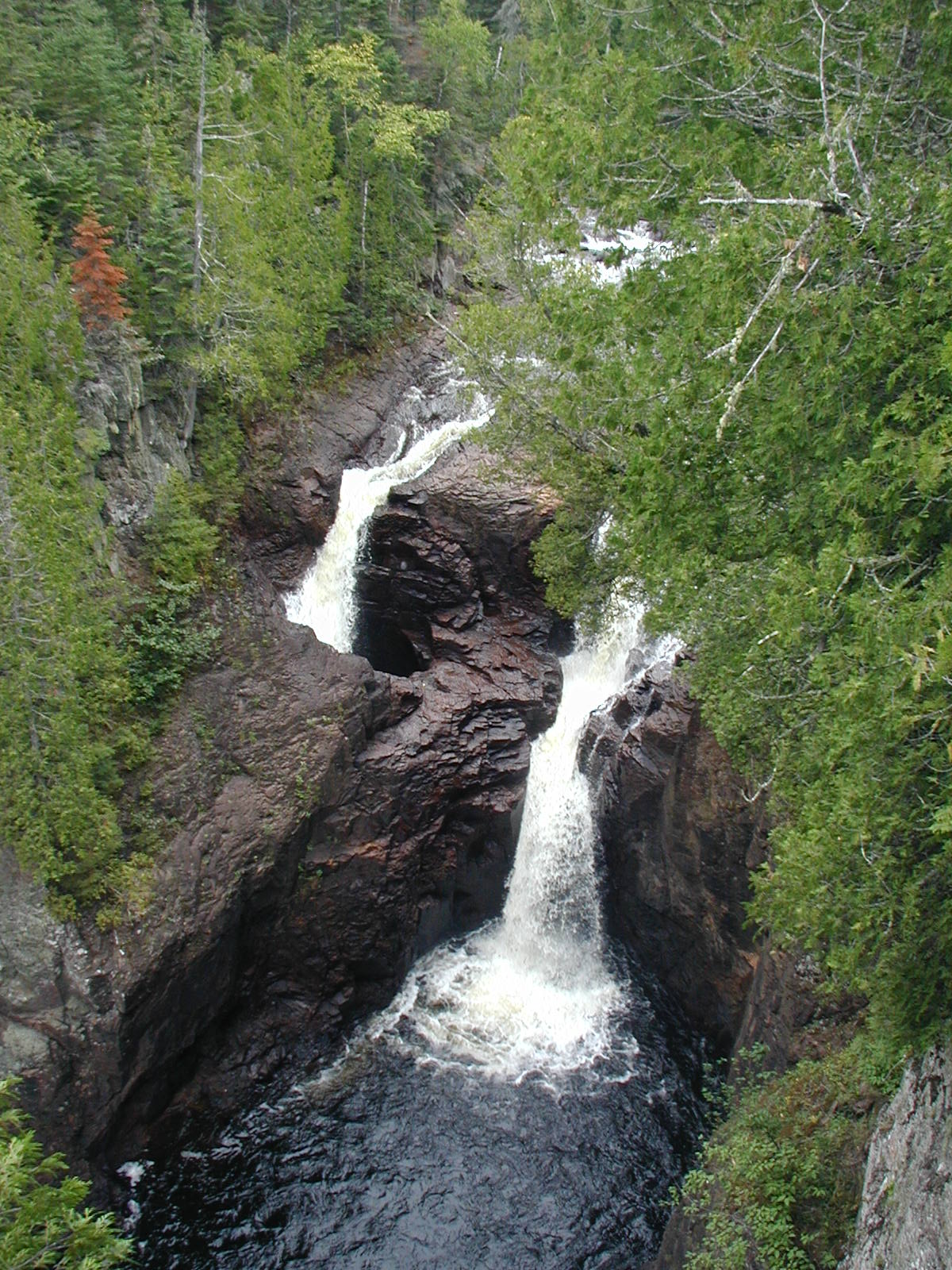 Judge C. R. Magney State ParkState park · ~1h 7m drivePhoto: Chris857, CC BY-SA 3.0 (via Wikimedia Commons)
 Temperance River State ParkState park · ~1h 11m drivePhoto: Rufus Sarsaparilla at en.wikipedia, Public domain (via Wikimedia Commons)
 George H. Crosby Manitou State ParkState park · ~1h 22m drivePhoto: McGhiever, CC BY-SA 3.0 (via Wikimedia Commons)
- Arrowhead Peninsula Provincial ParkState park · ~19 min drive
- Arrow Lake Provincial ParkState park · ~45 min drive
- Castle Creek Provincial ParkState park · ~58 min drive
- Devils Track Falls State WaysideState park · ~59 min drive
- Kodonce River State WaysideState park · ~1h 5m drive
Best time to visit La Verendrye Provincial Park
Best months: May and July–September. Best months have typical highs of 55–85 °F, lows of 30 °F or warmer (32 °F where the station doesn't record snow), at most one snowy day and no more than 12 wet days.
Jan
15° / -6°
8 wet · 8 snow
Feb
20° / -5°
6 wet · 6 snow
Mar
33° / 8°
7 wet · 5 snow
Apr
47° / 24°
8 wet · 3 snow
May
61° / 38°
11 wet · 1 snow
Jun
71° / 49°
13 wet
Jul
76° / 54°
11 wet
Aug
74° / 52°
11 wet
Sep
64° / 45°
11 wet
Oct
49° / 33°
12 wet · 2 snow
Nov
34° / 21°
10 wet · 5 snow
Dec
21° / 4°
9 wet · 8 snow
Typical high / low (°F) and days with rain or snow, 1991–2020. Measured at Gunflint Lake 10 Nw, MN, 4.6 mi away at 1,455 ft. We don't have this place's elevation, so higher spots nearby can run cooler. Source: NOAA NCEI U.S. Climate Normals 1991–2020.
Map and trail data © OpenStreetMap contributors
