Landstrom Ridge
- 902 ft
- summit
- Jun–Sep
- best months
Landstrom Ridge is a mountain in British Columbia, Canada, with its summit at about 900 ft (275 m) above sea level. Mapped trails that come within about half a mile of the top include Landstrom Ridge Trail and Dog Mountain Trail. The nearest town is Hope, about 1.1 miles west of the summit. Peaks within about 3 miles include Dog Mountain, Serpent's Back Peak and Thacker Mountain. Dog Mountain Falls and Chawuthen Creek Falls are within about 3 miles. For camping, Telte-Yet and Coquihalla Campground are within about 6 miles. The location and elevation come from OpenStreetMap and the Copernicus 90 m elevation model. Check local access rules and conditions before you go.
Conditions and forecast
Daily highs and lows, wind and the chance of precipitation at the summit for the next 7 days, from the Open-Meteo model.
- Summit elevation
- 902 ft
We don't know of a mapped trail or route to the summit of Landstrom Ridge. Plan the approach with local maps, a guidebook or a local guide, and check conditions before you go.
Questions about Landstrom Ridge
How tall is Landstrom Ridge?
902 ft (275 m).
Is there a trail to the top of Landstrom Ridge?
We don't know of a mapped trail or route to the summit. Plan the approach with local maps, a guidebook or a local guide.
- Winchester Mountain6,507 ft · Washington1 route30 mi away
- Hannegan Peak6,190 ft · Washington2 routes34 mi away
- Excelsior Peak5,702 ft · Washington2 routes34 mi away
- Ruth Mountain7,106 ft · Washington1 route36 mi away
- Panorama Dome5,041 ft · Washington1 route38 mi away
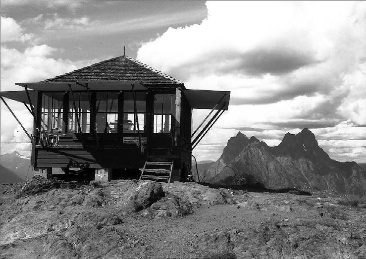 Desolation Peak6,105 ft · Washington1 route38 mi awayPhoto: Pete Hoffman, CC BY-SA 3.0 (via Wikimedia Commons)
 Sasquatch PeakSummit · ~16 min drivePhoto: Hardo Müller from Bonn, Germany, CC BY-SA 2.0 (via Wikimedia Commons)
 The Old SettlerSummit · ~20 min drivePhoto: Kevin Teague, CC BY 2.0 (via Wikimedia Commons)
- Dog MountainSummit · ~3 min drive
- Serpent's Back PeakSummit · ~3 min drive
- Thacker MountainSummit · ~4 min drive
- Peak 580Summit · ~5 min drive
- Hope MountainSummit · ~6 min drive
- Chawuthen PeakSummit · ~6 min drive
- Ogilvie PeakSummit · ~8 min drive
- Nicolum KnobSummit · ~9 min drive
Also worth it near here
- Landstrom Ridge TrailHiking · Next door
- Texas BarBeach · ~11 min drive
 Jones Lake Main Recreation AreaCamping · ~19 min drivePhoto: honkie6367, CC BY-SA 3.0 (via Wikimedia Commons)
 Slollicum FallsWaterfall · ~22 min drivePhoto: B&B-Traveller, CC BY-SA 3.0 (via Wikimedia Commons)
- Creekside CabinHut camping · ~25 min drive
Best time to visit Landstrom Ridge
Best months: June–September. Best months have typical highs of 55–85 °F, lows of 30 °F or warmer (32 °F where the station doesn't record snow), at most one snowy day and no more than 12 wet days.
Jan
38° / 30°
19 wet
Feb
43° / 30°
16 wet
Mar
49° / 33°
19 wet
Apr
57° / 37°
16 wet
May
66° / 44°
13 wet
Jun
70° / 49°
11 wet
Jul
78° / 53°
7 wet
Aug
79° / 54°
7 wet
Sep
71° / 49°
11 wet
Oct
58° / 41°
16 wet
Nov
45° / 35°
19 wet
Dec
38° / 30°
20 wet
Typical high / low (°F) and days with rain or snow, 1991–2020. Measured at Diablo Dam, WA, 48.4 mi away at 891 ft. This station doesn't record snowfall. Source: NOAA NCEI U.S. Climate Normals 1991–2020.
Map and trail data © OpenStreetMap contributors
