Green Timbers Urban Forest
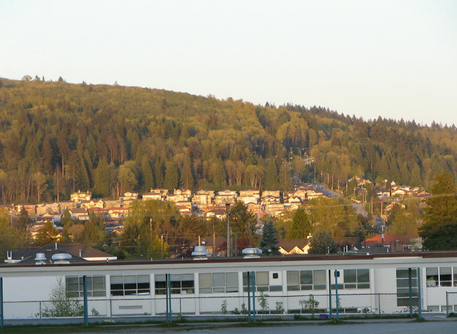
 Photo: waferboard, CC BY 2.0 (via Wikimedia Commons)
- May–Sep
- best months
Green Timbers Urban Forest is a protected natural area in British Columbia, Canada, covering about 600 acres (2 km²). The nearest town is Surrey, about 1.6 miles southeast of the park's centre. The boundary comes from OpenStreetMap. Check the park's own rules, fees and opening hours before you go.
Conditions and forecast
Daily highs and lows, wind and the chance of precipitation at Green Timbers Urban Forest for the next 7 days, from the Open-Meteo model.
Park size
576 acres
 Godwin Farm Biodiversity PreserveState park · ~4 min drivePhoto: waferboard, CC BY 2.0 (via Wikimedia Commons)
 Coquitlam River Wildlife Management AreaState park · ~6 min drivePhoto: waferboard, CC BY 2.0 (via Wikimedia Commons)
 Surrey Bend Regional ParkState park · ~7 min drivePhoto: waferboard, CC BY 2.0 (via Wikimedia Commons)
 Booth Creek Ravine and Natural AreasState park · ~8 min drivePhoto: formulanone, CC BY-SA 2.0 (via Wikimedia Commons)
 Watershed ParkState park · ~10 min drivePhoto: Larry LaRose, CC BY-SA 3.0 (via Wikimedia Commons)
 Burnaby Lake Regional ParkState park · ~11 min drivePhoto: The original uploader was Flying Penguin at English Wikipedia., CC BY-SA 3.0 (via Wikimedia Commons)
 Serpentine Wildlife Management AreaState park · ~11 min drivePhoto: waferboard, CC BY 2.0 (via Wikimedia Commons)
 Burns Bog Ecological Conservancy AreaState park · ~14 min drivePhoto: UBC Micrometeorology, CC BY 2.0 (via Wikimedia Commons)
 Burnaby Mountain Conservation AreaState park · ~15 min drivePhoto: Intelligent Calcium, CC BY 2.0 (via Wikimedia Commons)
 Blackie Spit Environmental Sensitive AreaState park · ~15 min drivePhoto: waferboard, CC BY 2.0 (via Wikimedia Commons)
Also worth it near here
- Raven's Nest Outdoor Group CampsiteCamping · ~4 min drive
- Tynehead Perimeter TrailHiking · ~5 min drive
 Barnston Bare BeachBeach · ~11 min drivePhoto: Theodor, CC BY-SA 4.0 (via Wikimedia Commons)
 Burnaby MountainSummit · ~14 min drivePhoto: User:Flying Penguin, CC BY-SA 3.0 (via Wikimedia Commons)
- Barnet TrailMountain biking · ~14 min drive
Best time to visit Green Timbers Urban Forest
Best months: May–September. Best months have typical highs of 55–85 °F, lows of 30 °F or warmer (32 °F where the station doesn't record snow), at most one snowy day and no more than 12 wet days.
Jan
45° / 34°
18 wet
Feb
48° / 35°
16 wet
Mar
52° / 38°
17 wet
Apr
58° / 42°
14 wet
May
64° / 47°
11 wet
Jun
69° / 52°
10 wet
Jul
73° / 55°
6 wet
Aug
73° / 55°
6 wet
Sep
67° / 50°
9 wet
Oct
57° / 44°
15 wet
Nov
50° / 38°
19 wet
Dec
44° / 34°
19 wet
Typical high / low (°F) and days with rain or snow, 1991–2020. Measured at Blaine, WA, 14.1 mi away at 60 ft. We don't have this place's elevation, so higher spots nearby can run cooler. This station doesn't record snowfall. Source: NOAA NCEI U.S. Climate Normals 1991–2020.
Map and trail data © OpenStreetMap contributors
