Chalice Creek Trail
- 3.5 mi
- round trip
- 2,775 ft
- climb
- Out and back
- route
- Easy
- difficulty
Chalice Creek Trail is a scenic out-and-back hike in British Columbia that follows Chalice Creek through varied terrain. This T1-rated trail offers an accessible adventure for hikers of all levels, showcasing the natural beauty of the region's creek valleys and forest ecosystems.
Keep exploring — more trails worth the drive
HIKE
Mt Swansea Uptrack
~1h 2m drive
Moderate 7.24-mile out-and-back climb to Mt Swansea with alpine views.
HIKE
Gdt Eng
~1h 2m drive
Remote 24.25-mile point-to-point alpine trek on BC's Great Divide Trail.
HIKE
Bowl Over Loop
~1h 11m drive
Short out-and-back trail with moderate terrain and scenic views.
HIKE
Mount Schaffer Route
~1h 17m drive
Technical T5 alpine scramble with steep exposure and demanding route-finding.
HIKE
Knee Grinder Ridge
~1h 17m drive
Easy out-and-back ridge hike with steady climbing and alpine views.
HIKE
Terminator Ridge
~1h 10m drive
Short alpine ridge scramble with excellent views and moderate exposure.
HIKE
Rockwall Trail
~1h 2m drive
Alpine point-to-point traverse with dramatic rockwall scenery and high-elevation views.
HIKE
Cpr Ridge
~1h 11m drive
Short alpine ridge walk with moderate scrambling and mountain views.
HIKE
Wenkchemna Pass
~1h 17m drive
Expert alpine scramble to a high mountain pass with dramatic exposure.
HIKE
Odaray Highline Trail
~1h 16m drive
Alpine out-and-back hike with highline views and meadow terrain.
Also worth it near here
BED
Bugaboo Creek
~3 min drive
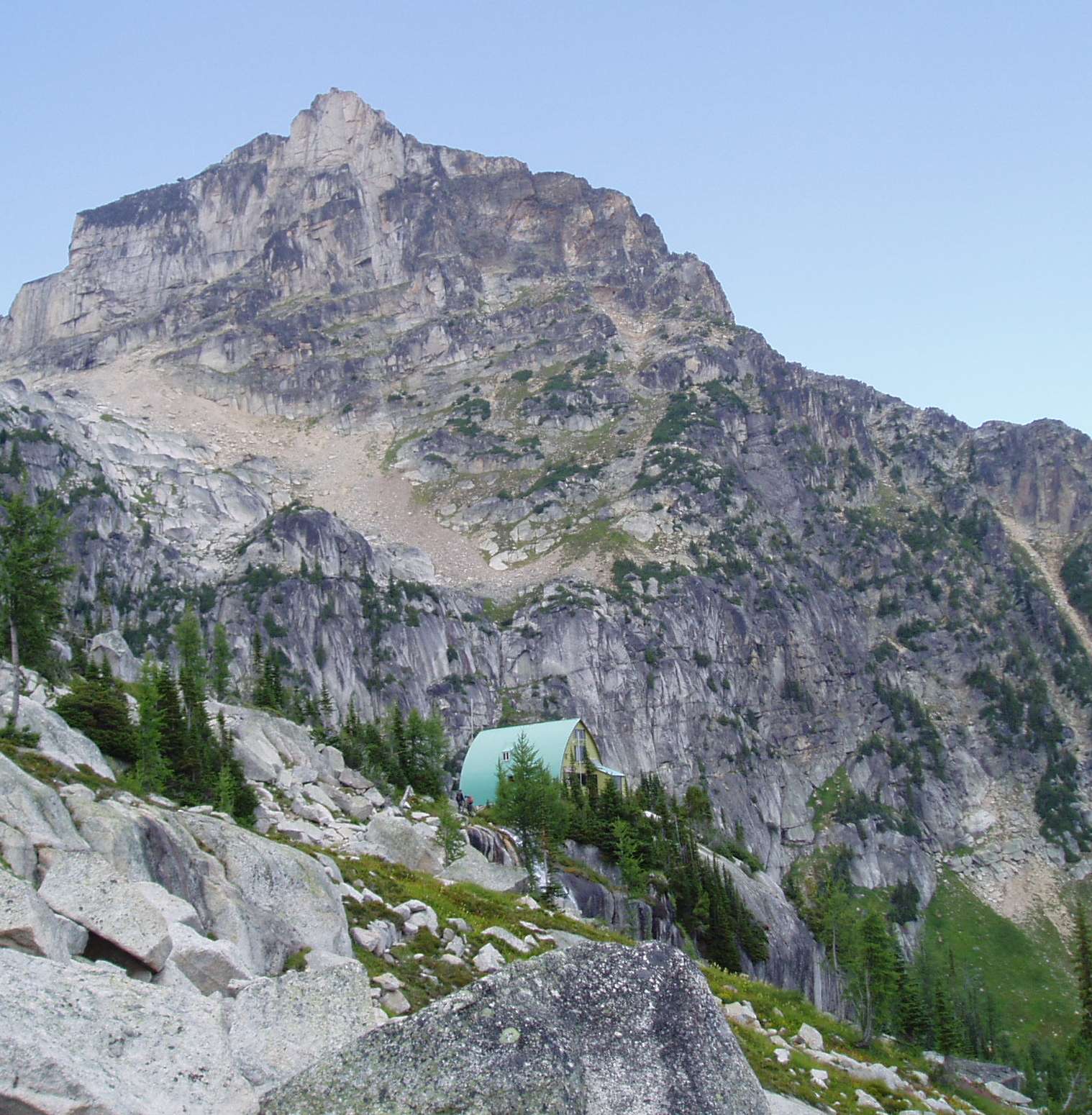 Photo: Pmc at English Wikipedia, CC BY-SA 2.5 (via Wikimedia Commons)
Conrad Kain Hut
~6 min drive
 Photo: Douglaspperkins, CC BY-SA 4.0 (via Wikimedia Commons)
Cobalt Lake Spire
~6 min drive
SEE
Bugaboo Falls
~6 min drive
 Photo: Eternalsleeper at English Wikipedia, CC BY-SA 3.0 (via Wikimedia Commons)
Mount Farnham: Farnham N Trail to 6,900 ft (from Horsethief Creek Forest Service Road road end)
~26 min drive
Conditions and forecast
Daily highs and lows, wind and the chance of precipitation at Chalice Creek Trail for the next 7 days, from the Open-Meteo model.
Map and trail data © OpenStreetMap contributors
