Karleck
 Photo: Tigerente, CC BY-SA 4.0 (via Wikimedia Commons)
- 5,190 ft
- summit
Karleck is a mountain in Styria, Austria, with its summit at about 5,190 ft (1,582 m) above sea level. Mapped trails that come within about half a mile of the top include Wanderweg 613. The nearest town is Spital am Pyhrn, about 2.8 miles southeast of the summit. Peaks within about 3 miles include Kleiner Bosruck, Lugkogel and Frauenmauer. For camping, Campingplatz Pyhrn-Priel and Camping Seebauer are within about 6 miles. It is part of the Ennstal Alps. These details come from Wikidata. The location and elevation come from OpenStreetMap and the Copernicus 90 m elevation model. Check local access rules and conditions before you go.
Conditions and forecast
Daily highs and lows, wind and the chance of precipitation at the summit for the next 7 days, from the Open-Meteo model.
- Summit elevation
- 5,190 ft
We don't know of a mapped trail or route to the summit of Karleck. Plan the approach with local maps, a guidebook or a local guide, and check conditions before you go.
Questions about Karleck
How tall is Karleck?
5,190 ft (1,582 m).
Is there a trail to the top of Karleck?
We don't know of a mapped trail or route to the summit. Plan the approach with local maps, a guidebook or a local guide.
 Hoher Dachstein9,826 ft · Upper Austria, Austria1 route38 mi awayPhoto: C.Stadler/Bwag, CC BY-SA 4.0 (via Wikimedia Commons)
 Hochkönig9,649 ft · Salzburg, Austria1 route63 mi awayPhoto: StVeit Maps, CC BY-SA 4.0 (via Wikimedia Commons)
 Grossglockner12,461 ft · Carinthia, Austria1 route88 mi awayPhoto: DennisPeeters, Public domain (via Wikimedia Commons)
 Grintovec8,392 ft · Kamnik, Slovenia1 route88 mi awayPhoto: sl:Uporabnik:JakobZ, CC BY-SA 3.0 (via Wikimedia Commons)
 Mangart8,786 ft · Bovec, Slovenia1 route89 mi awayPhoto: kallerna, CC BY-SA 4.0 (via Wikimedia Commons)
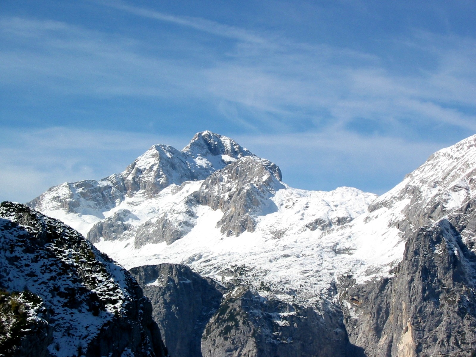 Triglav9,396 ft · Bohinj, Slovenia1 route90 mi awayPhoto: Andrej Jakobčič, CC BY-SA 3.0 (via Wikimedia Commons)
Map and trail data © OpenStreetMap contributors
