
Riverpond Campground
Hiking business nearby (~34 mi away) — hasn't claimed their Roamze page yet
Idaho
Free — you'll pick up right here.
13.0 mi
Distance
5,835 ft
Gain
6h 4m
Time
An agency closure order is in effect for this area; weather is good
2 factors · 2 sources
Newest 2 h ago · oldest 3 h
problem: Agency alerts
13 active alerts in Boise National Forest; most severe: UPDATED Sept. 19 - Crooked Fire Area, Road, and Trail Closure
USFSPosted Sep 19 · checked 3 h ago
clear: Weather
Clouds, high 73°F / low 60°F, 0% precip — 100/100 for hike
OpenWeather2 h ago
Been out here in the last few days? One report keeps this current for everyone.
Why you'll love it
William Pogue National Recreational Trail
Suggested plan · check conditions before you go
William Pogue National Recreational Trail is a 25.92-mile out-and-back route in Idaho with 5,835 feet of elevation gain and loss, reaching a maximum elevation of 6,730 feet.
Source: Roamze elevation profile and trail geometry (DEM samples along the mapped route)
Active alerts for Boise National Forest as of Oct 9, 2026:
UPDATED Sept. 19 - Crooked Fire Area, Road, and Trail Closure
critical · posted Sep 18, 2026
information · posted Aug 24, 2026
Rainbow Basin Occupancy and Use
information · posted Aug 24, 2026
South Fork Salmon Road Closure
information · posted Aug 24, 2026
William Pogue and Roaring River Trail Closure Order
information · posted Aug 24, 2026
Lowman Ranger District Dispersed Camping Area Closure
information · posted Aug 24, 2026
Public Safety Occupancy and Use on all Boise National Forest Lands
information · posted Aug 24, 2026
Atlanta Area Roads 268M & 268MX1 Closure
information · posted Aug 24, 2026
Antelope & Hollywood Campgrounds Closed for Construction
information · posted Aug 24, 2026
information · posted Aug 24, 2026
Source: USFS forest alerts
Source: Roamze catalog (indexable pages within 10 miles, PostGIS distance)
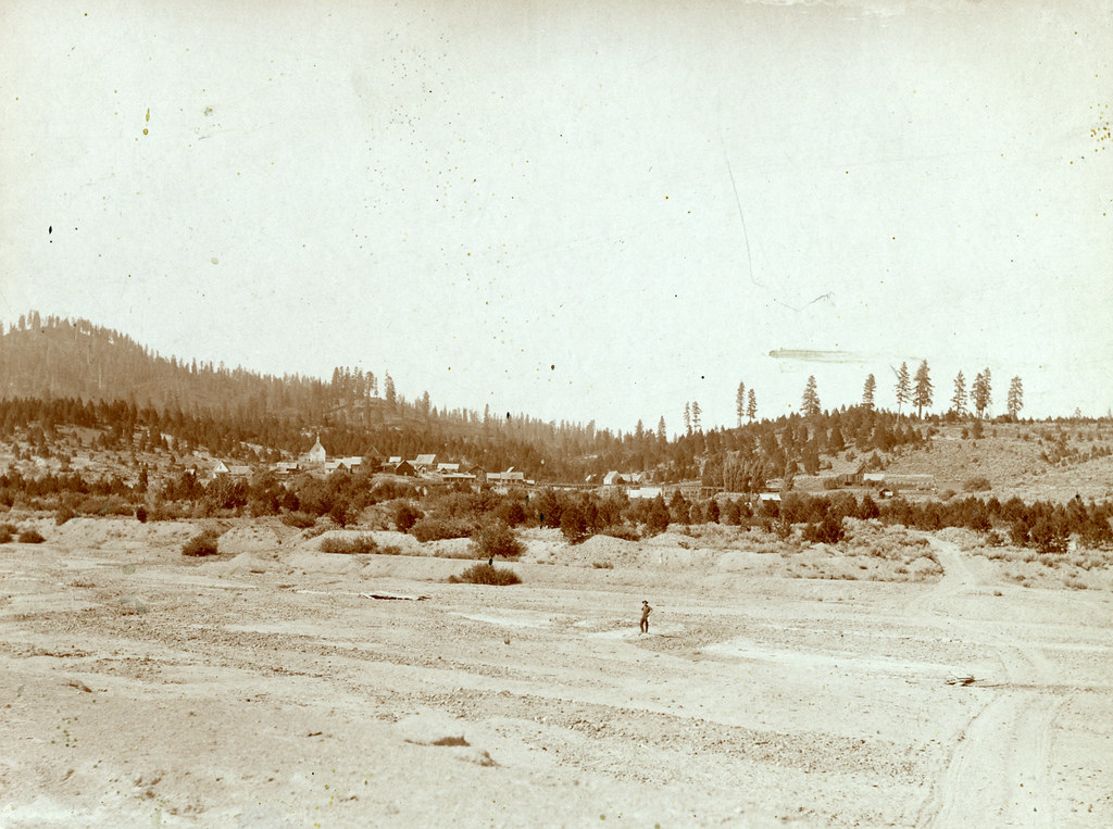 Photo: waterarchives, CC BY-SA 2.0 (via Flickr)
Steamboat Trail
~22 min drive
2.34-mile out-and-back trail in Idaho with 800 ft gain/loss and a max elevation of 4,278 ft.
Photo: waterarchives, CC BY-SA 2.0 (via Flickr)Granite Ck Interpretive
~22 min drive
0.84-mile out-and-back trail in Idaho with 31 ft of elevation gain.
HAGA CREEK
~3 min drive
12.56-mile out-and-back trail in Idaho with 4,255 ft elevation gain and loss.
SHORT CREEK
~12 min drive
2.74-mile out-and-back trail in Idaho with 1,760 ft of elevation gain
UPPER SHEEP CREEK
~16 min drive
14.62-mile out-and-back trail in Idaho with 4,539 ft gain/loss and 8,263 ft max elevation.
Cottonwood
~11 min drive
1.94-mile out-and-back trail in Idaho with 562 ft elevation gain.
Haga Creek Trail
~8 min drive
12.1-mile out-and-back trail in Idaho with 4,317 ft elevation gain.
Middle Rabbit Trail
~19 min drive
3.04-mile out-and-back trail in Idaho with 1,768 ft elevation gain.
SHEEP MOUNTAIN
~16 min drive
17-mile out-and-back trail in Idaho with 5,373 ft elevation gain.
DEVILS CREEK
~12 min drive
2.24-mile out-and-back trail in Idaho with 779 ft elevation gain
Map and trail data © OpenStreetMap contributors
Local operatorsoffering guided trips. You book directly with them — Roamze doesn’t take a cut.
Riverpond Campground
Hiking business nearby (~34 mi away) — hasn't claimed their Roamze page yet
Camp Perkins
Hiking business nearby (~43 mi away) — hasn't claimed their Roamze page yet
